East Durham, New York
Top Spots in and near East Durham
-
Hudson, New York
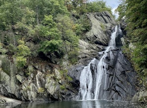
High Falls Conservation Area Loop
1.41 mi / 194 ft gainHigh Falls Conservation Area Loop is a loop trail that takes you by a waterfall located near Philmont, New York.Read more -
Altamont, New York
Hike through the Wolf Creek Falls Preserve
3.03 mi / 200 ft gainOver 3 miles of trails provide access to all parts of the preserve, and end up winding through mixed terrain including a wetland, waterfalls, and old stone walls. The property crosses the Bozenkill Road at two points on either side of private parcels (with beautiful homes), so be vigilant there; ...Read more -
Albany, New York
Blueberry Hill West Red and Yellow Trail
1.37 mi / 52 ft gainBlueberry Hill West Red and Yellow Trail is a loop trail where you may see beautiful wildflowers located near Albany, New York.Read more -
Albany, New York
Blueberry Hill East
1.73 mi / 59 ft gainBlueberry Hill East is a loop trail where you may see beautiful wildflowers located near Albany, New York.Read more -
Phoenicia, New York
Hike Mt. Wittenberg
4.3Looking for a great day hike in the Catskill region of NY? Then you should definitely look into and consider tackling Mt. Wittenberg then. A challenging climb up but a very rewarding summit view.Starting at Woodland Valley Campgrounds visitor registration house (where you can pay for parking for ...Read more -
Phoenicia, New York
Camp at Woodland Valley
3.0If you are looking for a great campground up in the Catskill Mountains of New York then you definitely have to check out Woodland Valley Campgrounds. Located about 2 hours north of New York City, it is the perfect place to go to get off the grid. No service for about 30 minutes in any direction.T...Read more -
Big Indian, New York
Hike to Balsam Mountain in the Catskills
5.4 mi / 2910 ft gainTimeline: Weekend, though can easily be done as an overnight trip or just a day hike Summary: Day 1: Hike to camp (0.7 miles, 340' elevation gain) Day 2: Hike to Balsam Mountain and back to camp (4 miles round-trip) Day 3: Relax & hike back to car (0.7 miles) Details: Park the car at McKinle...Read more -
Big Indian, New York
Camp on Giant Ledge
4.51.5 mi / 975 ft gainGiant Ledge is a great hike in the Catskills if you are looking for something short, with incredible views, and camping options. There are not many hikes with better views then this in the Catskills, so why not spend as much time as possible up there? There are a few camping spots you can grab w...Read more -
Big Indian, New York
Hike Giant Ledge
4.53.74 miThe trail starts across the street from the parking area you will see a sign. After a short walk in you will cross a foot bridge. At approximately 0.75 mile you will reach a junction. You will turn left toward Giant Ledge. The next half mile is fairly flat. At 1.5 miles you will reach a spur ...Read more -
East Nassau, New York
Kinderhook Creek
5.01.62 mi / 308 ft gainKinderhook Creek is a loop trail that takes you by a river located near Stephentown, New York.Read more -
Schenectady, New York
Hike Plotter Kill Preserve
4.35.5 mi / 820 ft gainThere are a few entries into the preserve' however, this hike has you entering off of Mariaville Road. There is a kiosk here and you will enter on the Red trail. Shortly after you can go out and back on the Blue trail to view the Upper and Lower Falls from lookouts above. Once back to the Red t...Read more -
Schenectady, New York
Hike the Lisha Kill Preserve Loop
5.02.3 mi / 324 ft gainThis 2.3 mile loop trail is lightly trafficked and great for all skill levels. Starting out the trail register, you will see signs from The Nature Conservancy which manages the preserve. Descending down a hill with lots of exposed tree roots, you will then cross over the meandering Lisha Kill and...Read more -
Cohoes, New York
Capture a Sunset at the Colonie Town Park
5.0Not all adventures have to involve scaling crazy-steep mountains or paddling down intense white-water rapids. Some of the best adventures are the relaxing and mellow ones right in our backyards. When I cannot get into the woods every day, I go to the Colonie Town Park, just 10 minutes from my hou...Read more -
Grahamsville, New York
Swim at Peekamoose Blue Hole
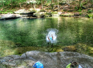
3.8To get there: From Sundown, NY, head 10 miles on Route 42 until you see a large parking area on the right with a sign for the Peekamoose Mountain area. Follow the signs from the parking area to the creek. Swimming Hole Coordinates: (41.9182, -74.4215) You can cool off from NY's warm weather and d...Read more -
Mount Washington, Massachusetts
Explore Bash Bish Falls
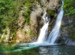
4.21 miOne of my favorite walks to a spectacular falls. The trail is easy to follow and one mile from NY parking lot and 0.5 from the parking lot. The apparent place to swim. There are several very nice, family safe swimmable pools in the creek above and after the falls. There are signs at the top of t...Read more -
Mount Washington, Massachusetts
Guilder Pond and Mount Washington Lookout Trail
3.92 mi / 909 ft gainGuilder Pond and Mount Washington Lookout Trail is a loop trail that takes you by the lake located near Copake Falls, New York.Read more

