Cornwall-on-Hudson, New York
Looking for the best hiking in Cornwall-on-Hudson? We've got you covered with the top trails, trips, hiking, backpacking, camping and more around Cornwall-on-Hudson. The detailed guides, photos, and reviews are all submitted by the Outbound community.
Top Hiking Spots in and near Cornwall-on-Hudson
-
New York, New York
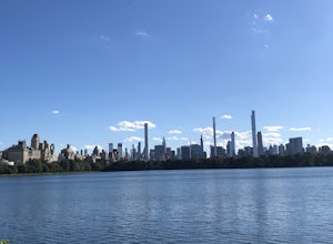
Jacqueline Kennedy Onassis Reservoir Running Path
5.01.68 mi / 69 ft gainJacqueline Kennedy Onassis Reservoir Running Path is a loop trail that takes you by a lake located near New York City, New York.Read more -
New York, New York
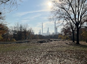
Northwest Central Park Loop
3.63 mi / 164 ft gainNorthwest Central Park Loop is a loop trail that takes you by a lake located near New York City, New York.Read more -
Woodstock, New York
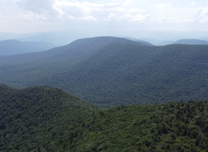
Sugarloaf Mountain via Blue Trail
6.54 mi / 2297 ft gainSugarloaf Mountain, is one the 35 highest peaks in New York's Catskills at 3806 ft. There are many ways to approach this peak, and this is an out-and-back hike via Mink Hollow. The parking area is located at the end of Milk Hollow Rd (42.10405386879072, -74.17148500019927). From here, get on the...Read more -
Bridgeport, Connecticut
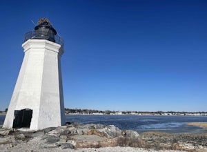
Stroll around Fayerweather Island
0.5 miParking is at the end of Barnum Road in the Seaside Park. Though the lighthouse grounds are accessible the tower itself is not open to the public. To access the island you must walk across the breakwater. Please use caution as it is uneven footing and at times can be slippery. From the isla...Read more -
Elka Park, New York
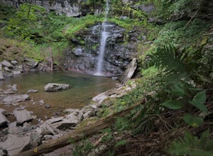
Hike to Plattekill Falls
0.5 mi / 137 ft gainJust outside of Elka Park, New York, Plattekill Falls is accessible from Albany and New York City alike. This is a great hike for families and all skill levels. The falls are spectacular year-round, but the best time to visit is in the spring. From the trailhead, walk left past the red house unt...Read more -
Dingmans Ferry, Pennsylvania
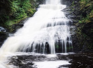
Explore Dingmans Falls
3.80.4 miThe waterfall is about 0.2 miles into the hike. I would recommend going to the very top of the biggest waterfall towards the end of the hike, there are steps leading up to it! There's also a hidden water hole at the very top of the waterfall about 0.2 miles up stream, I saw people in it during th...Read more -
Elka Park, New York
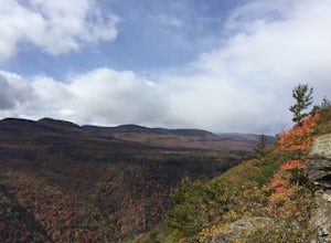
Hike to Huckleberry Point
4.54.5 mi / 644 ft gainThis is a 4.5 mile hike that is great for hikers of all skill levels. Because it is short and not overly difficult, beginners will enjoy this hike. There are some steep sections that will get your heart pumping, though, and a stunning payoff is waiting for you at the end.From the trailhead, follo...Read more -
Elka Park, New York
Backpack the Eastern Half of Devil's Path in the Catskill Mountains
5.014 mi / 3900 ft gainThe Eastern half of Devil's Path has four major summits: Indian Head, Twin, Sugarloaf and Plateau. Each summit is a straight climb up and down, then back up to as much as 3,900 ft. There are some sparse sections of level ground, but most is a steep descent uphill or steep slide downhill. Your ...Read more -
Elka Park, New York
Backpack Devil's Path in the Catskills
24.2 mi / 9000 ft gainDevil's Path is roughly more than 24 miles long, althought it feels like an eternity of milage. Going thru the summits of Indian head, Twin, Sugarloaf, Plateau, Hunter, and Westkill Mountains.Its brutal. Its painful, Its unique. Be prepared for anything and everything. You will encounter wild lif...Read more -
Elka Park, New York
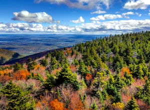
Hike Indian Head Summit via Jimmy Dolan Notch Overlook
4.9 mi / 1512 ft gainThe view from the summit of this hike is incredible. Bring a sack lunch and a camera - you'll want to stay for a while! This trail is open for use year-round and provides great snowshoeing in the winter and fabulous wildflowers in the spring and summer. This is also a great location for birding!Read more -
Elka Park, New York
Hike Twin Mountain
6 mi / 1586 ft gainThe DEC Parking lot, is located at the very end of a dead end, along Prediger Rd. Start at the trail head to the right of the trail kiosk and sign in sheet. The trail starts out very easy going as you approach the base of Twin. At mile 0.25, you’ll hit a junction where you’ll turn RIGHT towards T...Read more -
Salisbury, Connecticut
Explore Riga Falls
The best part of the adventure is finding this hidden gem also known as Riga Falls. Riga Falls is actually one of Connecticut's lesser known waterfalls, but arguably the most scenic. A helpful hint is that the waterfall lies beside dirt road, keep your ears open! I've already said too much, happy...Read more -
Barryville, New York
Camp at Kittatinny Campground
This campground is perfect for a group of friends that want to spend a couple days outdoors camping!With 350 campsites, there are many different types of sites available: from sites with electricity to sites 3 miles from the main camp. Decide how intense (or not intense) you and your group want ...Read more -
Big Indian, New York
Hike to Balsam Mountain in the Catskills
5.4 mi / 2910 ft gainTimeline: Weekend, though can easily be done as an overnight trip or just a day hike Summary: Day 1: Hike to camp (0.7 miles, 340' elevation gain) Day 2: Hike to Balsam Mountain and back to camp (4 miles round-trip) Day 3: Relax & hike back to car (0.7 miles) Details: Park the car at McKinle...Read more -
New York, New York
High Line
4.61.47 mi / 26 ft gainBuilt on a historic freight rail line and perched above the streets of Manhattan’s West Side, the High Line is a public park that features a green-lined walkway. Park hours depend on the season, although it never opens before 7am, so best to go for sunset. Although you may have some company on wa...Read more -
Elka Park, New York
Camp at Sugarloaf Mountain in the Catskills
4.06 mi / 1500 ft gainBegin by parking at the end of Mink Road in Elka Park (GPS:N42 08.593, W74 09.479). It will be a .7 mile hike to camp. Follow the rocky woods road to the junction where there is a SPRING sign. Continuing straight will take you to the water source. If you do not need water, turn left when you see ...Read more

