Ranchos de Taos, New Mexico
Top Spots in and near Ranchos de Taos
-
Red River, New Mexico
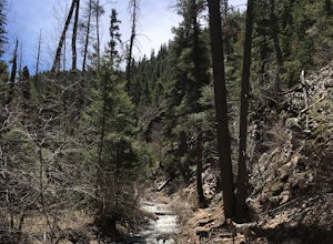
The Red River Nature Trail starts right in town next to the Platinum Lift off Pioneer Road. The trail travels 2 miles to Goose Lake Road. The hike itself can be taken as a two or four mile hike, depending on weather you access it point to point or out and back.
We started the trail behind the vis...
Read more
-
Colfax County, New Mexico
4.0
2.5 mi
/ 1000 ft gain
Head North from Eagle Nest towards Cimarron, and about 7 miles (or less) on your right hand, you will find two big signs with a parking area on both sides of the road. If you park on the right side, walk on the inside of the guardrail until you find the trail head sign. If you parked on the left ...
Read more
-
Red River, New Mexico
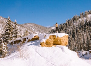
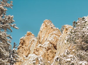
Not even a mile down Bitter Creek Rd, there’s a right-hand turn that takes you next to this spectacular rock outcropping. There's a little dirt parking area when you come down and around the turn that sits right next to Bitter Creek itself.
It’d be a swell place hang out, play around on the roc...
Read more
-
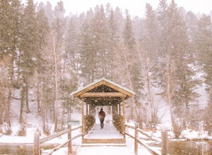
Red River, New Mexico
We stumbled upon this little gem as we were driving through town. This park is nestled right at the base of Mallette Canyon and has several features that becken a winter visit.
Along the west side of the canyon, over the small green bridge in the park you will find yourself following along a quar...
Read more
-
Red River, New Mexico
Just above the town of Red River up Bobcat Pass is the Enchanted Forest. As you approach the top of the pass you’ll see signs that point you toward the forest into what looks like a neighborhood. Trust the signs and make the turn. Follow the main road up through the neighborhood and take your sec...
Read more
-
Santa Fe, New Mexico
Accessible June through October, snow lingers on the trail late into the summer. This is a very popular, well-marked route so if it's solitude you're seeking, you'll probably be disappointed. At least on the weekend.The trailhead is at the parking lot for Ski Santa Fe. You'll climb from 10,250 to...
Read more
-
Santa Fe, New Mexico
4.0
6.2 mi
/ 1800 ft gain
Starting at the ski basin above Santa Fe, where parking is ample and the drive to reach it is staggeringly beautiful, you head north from the bottom of the parking lot from a well marked trailhead. The climb starts right out of the gate, and at a starting altitude of 10,000 ft above sea level yo...
Read more
-
Santa Fe County, New Mexico
Santa Fe Baldy Via Windsor Trail is an out-and-back trail that provides a good opportunity to view wildlife located near Santa Fe, New Mexico.
Read more
-
Santa Fe, New Mexico
Starting at an elevation of 10,000 feet at the Santa Fe Ski Basin, a right turn at the Winsor trail starts a steep climb for .5 miles until the wilderness boundary gate. From there, the trail descends slightly, taking a path along the ridge through mossy pines and emerald stones. A mile later, yo...
Read more
-
Santa Fe, New Mexico
3.5
12.1 mi
/ 2100 ft gain
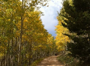
Aspen Vista Road (Forest Road 150) starts at an elevation of 10,000 feet and climbs up through a large stand of beautiful aspen and pine trees to the summit of Tesuque Peak at an elevation of 12,045 feet (note the Aspen grove is one large living being as all the roots are interconnected). These ...
Read more
-
Santa Fe, New Mexico
Pacheco Canyon Road / Forest Service Road #102 leads from the foothills of the Sangre de Cristos deep into the mountains, beginning with breathtaking views across to Valles Caldera (particularly at sunset) and ending deep in the mountains near Big Tesuque Campground after more than 2100' of eleva...
Read more
-
Santa Fe, New Mexico
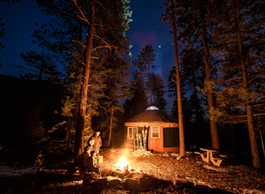
Hyde Memorial State Park yurts are nestled high in the Sangre de Cristo mountains amongst the ponderosa pines, and sleep six and provide a modern setting with roots in ancient tradition. Their location in the State Park provide easy access to park's vast trail system.Each bed has an encapsulated...
Read more
-
Los Alamos, New Mexico
Diablo Canyon has grown in popularity over the last decade, particularly due to its frequent appearance in television and films. It has hundreds of sport and trad climbs of varying difficulty on basalt cliffs that reach over 300 feet high, with approaches varying from 5 to 30 minutes.Grades range...
Read more
-
Abiquiu, New Mexico
Start your adventure by checking in at the Ghost Ranch Visitor Center, then find the trailhead just behind the building. You'll quickly drop down through an arroyo and then walk through a gate. The trail begins to climb briefly then flattens out with beautiful views across to Pedernal and the Pie...
Read more
-
Santa Fe, New Mexico
Begin this trail from the Cerro Gordo Trailhead which is only about 10 minutes from Santa Fe Plaza. You can park in the lot near the intersection of Cerro Gordo and Upper Canyon Rd. The lot will fill up on the weekends so arrive early. From the lot, take the short Nature Conservancy trail to the ...
Read more
-
Santa Fe, New Mexico
The Dale Ball Trail system, covers a wide swath of terrain between Santa Fe County, the City of Santa Fe, the National Forest, and The Nature Conservancy with a 22 mile network of trails in the foothills of the Sangre de Cristo Mountains.
Located a short distance from downtown Santa Fe, it is the...
Read more

