Lambertville, New Jersey
Top Spots in and near Lambertville
-
Glen Mills, Pennsylvania
Hike the White Trail in Ridley Creek State Park
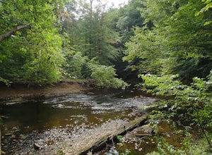
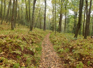
2.55 mi / 450 ft gainThe white trail is the only true loop hike in the park. Strangely enough, it has no official trailhead. You can gain access to the trail from either Pavilion/picnic are #9 or Pavilion/picnic area #16. I chose picnic area #9 and hiked in a clockwise direction. This section starts very close to and...Read more -
Lakehurst, New Jersey
Relax at Lake Horicon
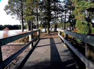
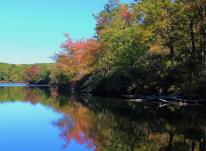
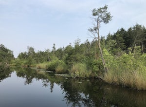
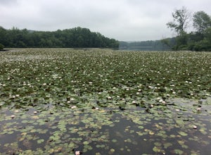
Lake Horicon Park is located at the corner of Union Avenue and Lake Street in Lakehurst, New Jersey. For swimmers: the lake is cedar water, a lifeguard is on duty at first beach from June 19th through September 1st from 11:00 am until 5:00 pm daily. At the rear of the lake picnic tables and gr...Read more -
Columbia, New Jersey
Hike to Sunfish Pond
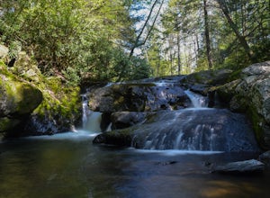
4.57.9 mi / 1150 ft gainAt the end of the parking lot, cross over the bridge and follow the Appalachian Trail (AT, white blazes) to a V-intersection. Turn right onto Dunnfield Creek Trail (green blazes), which will take you past a few cascades and up to Sunfish Pond. Relax and eat lunch at the pond. When you're ready, t...Read more -
Columbia, New Jersey
Hike Mount Tammany's Red Dot and Blue Dot Loop
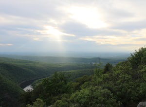
4.53.3 mi / 1197 ft gainMount Tammany located in the Delaware Water Gap is a very exciting hike. Short in length but with steep, rocky uphill portions this becomes more of a challenging trek. This hike allows for amazing views of the Delaware River, Route 80, and Mount Minsi on the other side. The summit makes for an aw...Read more -
Columbia, New Jersey
Hike Mt. Tammany via Red Dot Trail
4.62.3 mi / 1115 ft gainThis is a short but strenuous hike to a bluff overlooking the Delaware River and surrounding mountains and hills. The summit makes a good spot for a picnic or just for relaxing and watching the sunset. The entire hike also has plenty of beautiful photo ops, especially in the Fall. Find the trailh...Read more -
Hardwick Township, New Jersey
Sunfish Pond via Red Dot, Tammany Fire Road, Turquoise and Dunnfield Creek Trail
5.010.54 mi / 1434 ft gainSunfish Pond via Red Dot, Tammany Fire Road, Turquoise and Dunnfield Creek Trail is a loop trail that takes you by a lake located near Pahaquarry, New Jersey.Read more -
Staten Island, New York
Hike the Staten Island Greenbelt
4.07.6 miThe white trail offers one of the two more ambitious hikes, passing through Egbertville Ravine, Heyerdahl Hill and Buck’s Hollow parks on Staten Island, offering an up-close view of the forest and marshland that once covered the island. About midway, the trail also passes the Greenbelt Nature Cen...Read more -
Bangor, Pennsylvania
Hike Mount Minsi
3.6This is a great 5.5 mile hike at the Delaware Water Gap. You follow the Appalachian Trail the entire time (white marked trail) as it climbs to the top on Mt Minsi. There are multiple viewpoints on your way up that provide a great view of the water gap as well as some very picturesque trail points...Read more -
Shamong, New Jersey
Hike to Quaker Bridge via Atsion
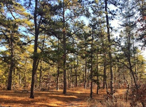
7 miLooking at a map of New Jersey, you'll notice that the biggest green patch of forest on the map is Wharton State Forest, in the southern half of the state. There are many great hikes to do in the state forest, described here is a relatively easy 7 mile hike that serves a nice introduction to hiki...Read more -
Shamong, New Jersey
Camp at Wharton State Forest
3.0There is plenty of potential for activity in New Jersey's largest state park. Wharton offers Mullica River for boating, as well as three other rivers for canoeing. Hikers can follow the 50-mile Batona Trail, which connects Wharton to the Brendan T. Byrne and Bass River State Forests. Other trails...Read more -
Walnutport, Pennsylvania
Lehigh Gap via Appalachian Trail
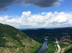
4.52.15 mi / 817 ft gainLehigh Gap was formed by the Lehigh River carving a large hole in the foothills of the Appalachian Mountains. One side is owned and operated by the Lehigh Gap Nature Center and has some great hikes, but this side is government-owned. Parking for this portion of the Appalachian Travel is up a litt...Read more -
Columbia, New Jersey
Hike the Mount Mohican-Raccoon Ridge Traverse
7.5 mi / 1500 ft gainThis point to point hike can be done in either direction. There is parking at the entrance to Worthington Campground. Cross Old Mine Road and start up the Garvey Spring Trail (orange markers). The trail passes Laurel Falls on the right then ascends steeply until you reach an old forest road. The...Read more -
Douglassville, Pennsylvania
Hike the Lenape and Boone Trail Loop at French Creek State Park
4.5 mi / 715 ft gainFrench Creek State Park offers a web of trails for hiking and mountain biking with two lakes, picnic areas, and more. Hike the Lenape and Boone Trail Loop, a moderate 4.5 mile hike that winds through the forest and offers views of both of the park's lakes - Scott's Run Lake and Hopewell Lake. Dog...Read more -
Birdsboro, Pennsylvania
Climb at Birdsboro Quarry
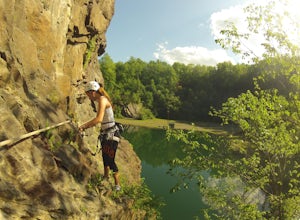
To get there follow back roads to the parking lot that is tagged in the description. From here, follow the trail/road paralleling Hay Creek until you reach a few large buildings. There is an obvious sign here on the regulations of the area. Do not go through the fence to the right and instead ...Read more -
Delaware Water Gap National Recreation Area, Pennsylvania
Kayak/Camp in the Delaware Water Gap
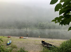
5.026 miTake a multi-day kayak or canoe trip in the Delaware Water Gap! Starting at the launch area at Milford Beach, you can kayak downstream in remote waters for 12-13 miles before you reach campsites for your first night of camping on the water. The next day, you can kayak about 6-7 more miles before ...Read more -
Lehighton, Pennsylvania
Hike the Falls Trail at Beltzville State Park
4.05.5 miAt the Christman Trailhead, hike a quick, flat 2.5 miles following the yellow trail markers through farm meadows and birch forests to the Falls Trail loop/intersection. Here hike the Falls trail which is a 0.5 mile loop that links back to the 2.5 mile section back to the parking area. Bridges and...Read more

