Bloomsbury, New Jersey
Looking for the best hiking in Bloomsbury? We've got you covered with the top trails, trips, hiking, backpacking, camping and more around Bloomsbury. The detailed guides, photos, and reviews are all submitted by the Outbound community.
Top Hiking Spots in and near Bloomsbury
-
Malvern, Pennsylvania
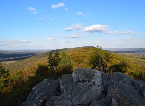
Hike Valley Forge
3.92.5 miThere are many trails to choose from on Mt. Misery and a good place to start is at the parking lot located at the intersection of Yellow Springs Road and Library Lane (off of the main Valley Creek Road).The Mt. Misery Trail starts there, heads up through the trees about 0.75 miles and meets up wi...Read more -
89 Van Orden Road, New Jersey
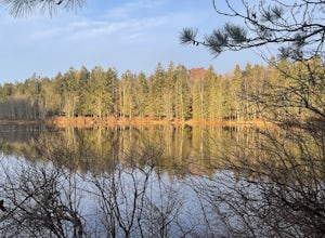
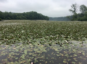
Hike the Hank's Pond Loop
7 mi / 500 ft gainHank's Pond loop can be accessed from the south at the corner of Clinton road and Van Orden road or from the north, parking at the lot on Stephens road. I hiked from the south on this trip. Follow the wide trail known as Hank's East trail marked with white blazes. Soon you will reach a trail c...Read more -
White Haven, Pennsylvania
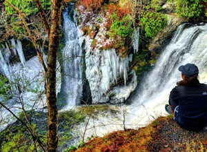
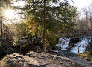
Choke Creek Falls
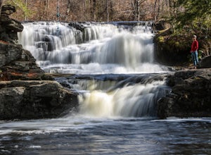
5.01.45 mi / 128 ft gainHiking to Choke Creek Falls is easy! The hike down to the waterfall is less than a mile and the payoff is a scenic two story waterfall. From the curve in Phelps Road, take the gated forest road downhill about 1/3 of a mile to a clearing. From here, the trails splits. Take the trail to the right,...Read more -
Kempton, Pennsylvania
Hike the Pinnacles and Pulpit Rock
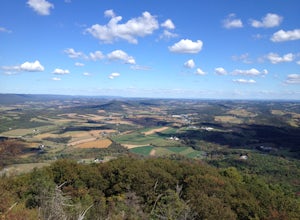
4.29 mi / 1200 ft gainPark in the lot near the Hamburg Reservoir and hike around the barrier and up the gravel road. Shortly on your right the Appalachian Trail branches off the road. Follow the white blazes of the AT for around 2 miles to the Pulpit Rocks, just before the trail passes the Lehigh Valley Astronomical S...Read more -
Matawan, New Jersey
Cheesequake Yellow and Blue Loop Trail
4.03.43 mi / 328 ft gainCheesequake Yellow and Blue Loop Trail is a loop trail that takes you by a lake located near Old Bridge, New Jersey.Read more -
Greentown, Pennsylvania
Conservation Island Nature Trail
1.08 mi / 36 ft gainConservation Island Nature Trail is a loop trail that is good for all skill levels located near Greentown, Pennsylvania.Read more -
Milford, Pennsylvania
Explore Raymondskill Falls
4.00.6 mi / 178 ft gainThis waterfall is just a short walk away from the main parking lot.Just a .30 mile hike will take you to a gorgeous three-tiered waterfall. There are platforms providing viewing areas to the falls.Raymondskill Falls is located in the northern portion of the Delaware National Water Gap Recreationa...Read more -
Milford, Pennsylvania
Hike to Cliff Park Ridge
5.06.4 mi / 700 ft gainThis 6.4 mile out-and-back trail (2.7 miles each way) is an excellent trail for those looking to spend an early morning or afternoon outside without the strenuousness of all-out mountain hiking. Throughout the entire hike, there is only 700 ft. of elevation gain. Don't let this turn you away if y...Read more -
Greentown, Pennsylvania
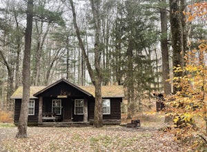
Camp at Rustic Bear Wallow Cabins
Rustic Bear Wallow Cabins are the ideal compromise between going camping and staying home. Enjoy an intimate connection with the natural landscape of Pennsylvania, including two lakes and the Pocono Plateau of Promised Land State Park. Explore the rich landscape, enjoy the water, and come home to...Read more -
Greentown, Pennsylvania
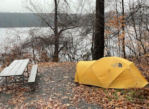
Camp at Pickerel Point Campground
Pickerel Point Campground rests on a peninsula of the Promised Land Lake, where miles and miles of forest are punctuated by this beautiful body of water. Open sky, fresh mountain air, and the wind whispering through the maples and oaks makes for a truly enchanting place. Campers can engage all ki...Read more -
Kempton, Pennsylvania
Hike the Hawk Mountain Lookout Trail
4.54.5 mi / 500 ft gainThe 4.5 mile loop Hawk Mountain Lookout Trail takes you up to great views of the skyline of Pennsylvania. Surrounded by the rolling forested landscape and open sky, this trail is scenic through and through. Hike in the Spring to catch the flourishing wildflowers, and keep your eyes peeled for eag...Read more -
Douglassville, Pennsylvania
Hike the Lenape and Boone Trail Loop at French Creek State Park
4.5 mi / 715 ft gainFrench Creek State Park offers a web of trails for hiking and mountain biking with two lakes, picnic areas, and more. Hike the Lenape and Boone Trail Loop, a moderate 4.5 mile hike that winds through the forest and offers views of both of the park's lakes - Scott's Run Lake and Hopewell Lake. Dog...Read more -
Cedar Grove, New Jersey
Hike at Mills Reservation
4.72 mi / 200 ft gainMills Reservation is over 150 acres of wooded area located off of Normal Ave. near the Cedar Grove reservoir. Parking space is limited due to the small size but there is another hidden lot towards the back if you make a right out of the parking lot and then the first right turn onto Highland Ave....Read more -
Wilkes-Barre, Pennsylvania
Pinchot Trail
21.97 mi / 1913 ft gainThe Pinchot Trail, built by the Sierra Club's Northeast Pennsylvania Group and located in the southern corner of Lackawanna County, is an excellent warmup or beginner backpacking trail. The trail systems totals 22 miles but can be broken up by the North or South Loops. The North loop is mostly f...Read more -
Staten Island, New York
Hike the Staten Island Greenbelt
4.07.6 miThe white trail offers one of the two more ambitious hikes, passing through Egbertville Ravine, Heyerdahl Hill and Buck’s Hollow parks on Staten Island, offering an up-close view of the forest and marshland that once covered the island. About midway, the trail also passes the Greenbelt Nature Cen...Read more -
Wantage, New Jersey
Hike the Iris Tail - Appalachian Tail Loop
4.09 mi / 1000 ft gainStart this hike from the Appalachian Trail parking area off route 23, south bound side, south of the park office. Follow the Blue Dot trail until is intersects with the Iris Trail. The Iris Trail (marked with red blazes) is a through hike that is about 5 miles long. It parallels the Appalachian T...Read more


