Thornton, New Hampshire
Top Spots in and near Thornton
-
Randolph, New Hampshire
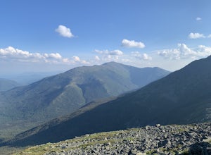
Madison Spring Hut to Lake of the Clouds Hut via Gulfside Trail
5.06.76 mi / 2441 ft gainMadison Spring Hut to Lake of the Clouds Hut via Gulfside Trail is a point-to-point trail that provides a good opportunity to view wildlife located near Randolph, New Hampshire.Read more -
Gorham, New Hampshire
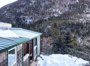
Snowshoe to Carter Notch Hut
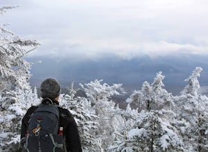
7.8 mi / 2200 ft gainThe nineteen mile brook trail is a winding path up approximately 2200 feet of elevation over the course of 3.9 miles. That distance feels a lot farther when you are breaking trail in 18-24 inches of snow and you are carrying 35 lb packs on your backs. Luckily we started out early and we able to ...Read more -
Gorham, New Hampshire
Backpack to Osgood Tentsite and Hike Mount Madison
5.09.3 mi / 4521 ft gainBegin at Great Gulf Trailhead (located on the west side of NH Route 16, about 1.5 mi. south of the junction with Dolly Copp Rd.) which offers a large fee for parking lot. Bring cash and pay at the self service pay station then display your receipt in car. Walk towards the back of the parking lot ...Read more -
Gorham, New Hampshire
Hike the Imp Face Trail
6.1 mi / 2080 ft gainStart a few miles north of the Joe Dodge Lodge and Pinkham Notch. If starting in Gorham, the trailhead is 6-8 miles south and will be on the east side of the road. Starting at about 1000 ft, hike in about 5 miles and 5 miles back to beginning. Two routes back, both about the same distance.Startin...Read more -
Jefferson, New Hampshire
Summit Mount Waumbek via the Starr King Trail
5.07.2 mi / 1500 ft gainThe hike starts out at the Starr King trailhead because you will summit Starr King Mountain (3,907 ft - so close to being a 4000 footer!) before moving on to Waumbek. The 2.6 miles that it takes to get to the first summit are gradual and forgiving. The majority of the total elevation is completed...Read more -
Randolph, New Hampshire
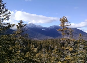
Hike the Northern Presidentials
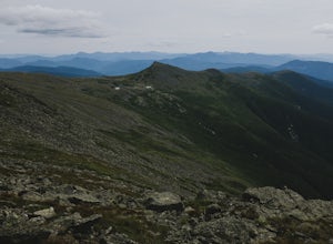
15.6 miThe Presidential Range is a mountain range located in the White Mountains of New Hampshire. They contain the highest peaks of the Whites and are named after Presidents of the U.S. I also want to add that this range is known for having some of the worst weather in America, mainly because of the un...Read more -
Hartford, Vermont
Camp at Quechee State Park
4.0Located on the Ottauquechee River, Quechee State Park offers camping options right beside one of Vermont's most famous gorges—Quechee Gorge. The steel bridge that passes over the 165 ft. gorge is just one of many spectacular views in this area. Quechee State Park is on Route 4 and easily accessi...Read more -
Groton, Vermont
Hike to Owl's Head Trail Overlook
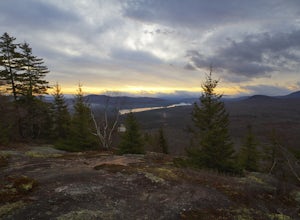
3.03 mi / 200 ft gainStarting at 1746 ft of elevation, this easy 3 mile hike (RT) pays off with a dramatic view of Lake Groton, Kettle Pond and the Green Mountains of Vermont. The trail head begins in New Discovery Park, along the dirt road to Osmore Pond. There is room to pull off the dirt road and park near the t...Read more -
Stow, Maine
Hike to Rattlesnake Pool
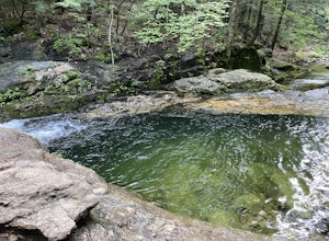
2.11 mi / 207 ft gainThe best place to start your hike is from Route 113 near Gilead, head towards Stone House Road. This becomes Shell Pond Road. A few miles in, you'll find a gated area where you can park. This trail, and Rattlesnake Pool, are both on private land - so be sure to practice leave no trace principles.Read more -
Concord, New Hampshire
Hike to the Oak Hill Fire Tower
4.03 mi / 500 ft gainClimbing to the Fire Tower on Oak Hill is a great urban adventure, short enough for a lunch break trail run or a morning hike with the family. The trail is primarily wooded, with a panoramic view from the Fire Tower for those brave enough to ascend it's wooden steps.Park at the well signed dirt l...Read more -
Newbury, New Hampshire
Hike to Lake Solitude, NH
4.04.8 mi / 2510 ft gainThe two most popular routes to Lake Solitude are the Newbury Trail and Andrew Brook Trail. The round-trip distance of the hikes are 4.8 miles and 3.8 miles. Both could be described as moderate in terms of difficulty. The Newbury trail is accessed from Lakeview Ave and Andrew Brook Trail can be a...Read more -
Denmark, Maine
Summit Bald Peak and Mt. Pleasant
6 mi / 1450 ft gainAfter turning on Mountain Rd, look for East Pinnacle Condominiums. The trailhead is about 0.1miles after that on the right between the telephone poles marked 49 and 50. There is a dirt parking lot to pull into. Now on to the hike! This hike begins by heading straight uphill immediately, and you ...Read more -
Woodstock, Vermont
The Pogue and Mount Tom Trail
4.38 mi / 751 ft gainThe Pogue and Mount Tom Trail is a loop trail that takes you by a lake located near Woodstock, Vermont.Read more

