Randolph, New Hampshire
Looking for the best chillin in Randolph? We've got you covered with the top trails, trips, hiking, backpacking, camping and more around Randolph. The detailed guides, photos, and reviews are all submitted by the Outbound community.
Top Chillin Spots in and near Randolph
-
Waterville Valley, New Hampshire
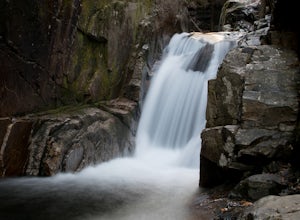
Sabbaday Falls
4.70.7 mi / 171 ft gainThis awesome waterfall is located right off of the Kancamagus Highway (rt 112) that runs from Lincoln to North Conway, NH. The highway itself is a very scenic drive through the White Mountains that has pull off spots every couple of miles. From I93 take exit 32 for Lincoln. Drive straight throug...Read more -
Conway, New Hampshire
Drive the Kancamagus Highway
4.834.5 miThe Kancamagus Highway is designated an American Scenic Byway. It cuts through the White Mountains of New Hampshire. The highest point along the drive is 3000 feet. It is known as one of the best fall viewing areas in the country. If your interested there is also several campgrounds along thi...Read more -
Thornton, New Hampshire
Hike the Welch Mountain and Dickey Mountain Loop
5.04.1 mi / 1807 ft gainThis is a very well-marked and traveled trail, marked with yellow blazes. Start off at the trailhead (easy parking, $3 fee) and be sure to go counter-clockwise for the best route. The beginning of the trail meanders along next to a babbling brook and through forested terrain. The climb gets stead...Read more -
Denmark, Maine
Summit Bald Peak and Mt. Pleasant
6 mi / 1450 ft gainAfter turning on Mountain Rd, look for East Pinnacle Condominiums. The trailhead is about 0.1miles after that on the right between the telephone poles marked 49 and 50. There is a dirt parking lot to pull into. Now on to the hike! This hike begins by heading straight uphill immediately, and you ...Read more -
Rumford, Maine
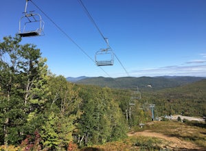
Hike Black Mountain Resort
3.1 mi / 1312.3 ft gainStart at parking-place, make it to the top and chose a route to hike back down. Beautiful views lay in front of you, for you to enjoy. This is a half day hike, full of nice places on the way to have lunch at, or just to enjoy and walk by. Enjoy the Hike ;)Read more -
Byron, Maine
Swim in Coos Canyon
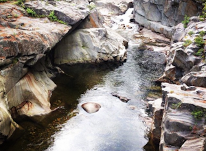
5.0Coos Canyon is right off of route 17 in Byron, ME. It's almost impossible to miss but if you're worried about it you can type "coos canyon" or "coos canyon rock and gift" into google maps and it will take you right there. There is a gravel parking lot to the right side of the road (heading north)...Read more -
Weld, Maine
Hike Tumbledown Mountain
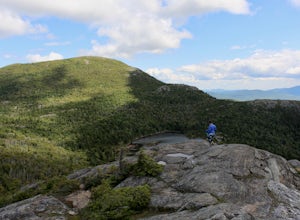
5.6 mi / 2300 ft gainTo keep the hike as short as possible, the hike can be an out and back at 5.6 miles, but if you wanted to make it a loop that is possible and adds only an additional 2 miles or so. We took the Brook Trail up to the summit (which passes by the alpine lake) and then followed it back down. To hike t...Read more -
Groton, Vermont
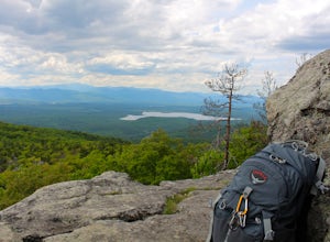
Hike to Owl's Head Trail Overlook
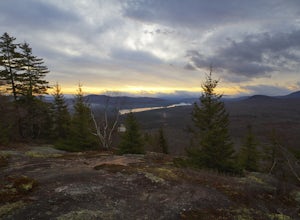
3.03 mi / 200 ft gainStarting at 1746 ft of elevation, this easy 3 mile hike (RT) pays off with a dramatic view of Lake Groton, Kettle Pond and the Green Mountains of Vermont. The trail head begins in New Discovery Park, along the dirt road to Osmore Pond. There is room to pull off the dirt road and park near the t...Read more

