Orford, New Hampshire
Top Spots in and near Orford
-
Salisbury, Vermont
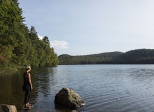
Camp at Lake Dunmore
The campground office for Branbury state park is on the opposite side of Route 53 from the pin on the map here, but the best campsites are where the pin is. Start by going and talking to the rangers at the office, they are super friendly and very helpful for recommendations of hikes or things to...Read more -
Thompson and Meserves, New Hampshire
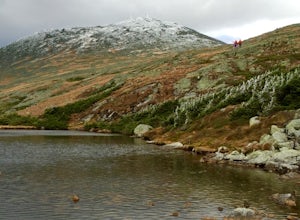
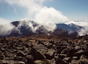
Hike Mt. Washington via Ammonoosuc Ravine Trail and Jewell Trail
5.07.4 mi / 3720 ft gainTo begin this hike, drive to Marshfield Station on Base Station Road in Jefferson, NH. There are several large parking lots capable of holding both hiker and Cog Railway traffic even on busy days. Parking in the lots at the Marshfield Station costs $5.00/day, there is a lot for hiker parking at t...Read more -
Huntington, Vermont
Camel's Hump Summit via the Burrows Trail
4.04.4 mi / 2228 ft gainThis adventure takes you up the Burrows Trail from the Huntington side of Camel's Hump. There are multiple trails to the summit, but this trail is the shortest. It is 2.4 miles to the summit with 2300' elevation gain. The trailhead is accessed from the aptly named Camel's Hump Road out of Huntin...Read more -
Bristol, Vermont
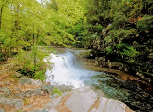
Explore Bartlett Falls
5.0The 14 foot falls plunge into a deep pool, perfect for cliff jumping. There is even a shallow end for younger children. Always take caution when cliff jumping. Make sure your path is clear of rocks. Direction: Turn east on Lincoln Gap Road from Rt. 116 a mile north of Bristol. The falls are vis...Read more -
Randolph, New Hampshire
Summit Mount Jefferson, Mount Clay, and Mount Washington
4.010.5 mi / 4455 ft gainHike with at least one other and take two cars. First drop one car at the Cog Railway parking lot (Base Station Rd, Bretton Woods, NH). Jump into the second car and drive about 15 minutes to the Caps Ridge Trailhead on Jefferson Notch Road ( N 44° 18' 15"W 71° 21' 42" )The Caps Ridge Trail will l...Read more -
Randolph, New Hampshire
Hike Mount Jefferson
5 mi / 2700 ft gainMount Jefferson stands at 5712 feet, the third tallest mountain of the Presidential's in the White Mountain National Forest. The trail head begins at the Caps Ridge Trail on Jefferson Notch Rd. While 2.5 miles sounds easy, this hike is not for the once in while day hiker. Challenging rock scrambl...Read more -
Wolcott, Vermont
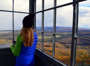
Hike to Elmore Mountain Fire Tower
4.05.6 mi / 1485 ft gainIf hiking in off season when the park is closed, begin from the lower parking lot or the "day use area". If hiking while the park is open you can drive to the upper parking lot (subtract about 1.4 miles from total distance)Beginning from the lower parking lot make you way through the gate and int...Read more -
Jackson, New Hampshire
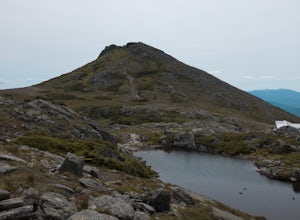
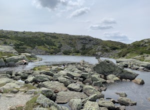
Lake of the Clouds from Mount Washington Summit via Crawford Path
5.02.81 mi / 1224 ft gainLake of the Clouds from Mount Washington Summit via Crawford Path is an out-and-back trail that provides a good opportunity to view wildlife located near Randolph, New Hampshire.Read more -
Jefferson, New Hampshire
Summit Mount Waumbek via the Starr King Trail
5.07.2 mi / 1500 ft gainThe hike starts out at the Starr King trailhead because you will summit Starr King Mountain (3,907 ft - so close to being a 4000 footer!) before moving on to Waumbek. The 2.6 miles that it takes to get to the first summit are gradual and forgiving. The majority of the total elevation is completed...Read more -
Bartlett, New Hampshire
Hike Cathedral Ledge
4.03.4 mi / 722 ft gainDuring spring, summer and fall there is a road that allows you to drive to the top of Cathedral Ledge. In winter the road is closed off to vehicles so reaching the top requires a 1.7 mile hike. Once at the top, there is a fenced in lookout with a 180 degree view of North Conway and the surroundin...Read more -
Conway, New Hampshire
Cathedral Ledge via Bryce Path Trail
2.07 mi / 574 ft gainCathedral Ledge via Bryce Path Trail is an out-and-back trail that takes you by a waterfall located near Bartlett, New Hampshire.Read more -
Conway, New Hampshire
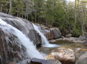
Diana's Baths
5.01.33 mi / 190 ft gainDiana's Baths is an out-and-back trail that takes you by a waterfall located near North Conway, New Hampshire.Read more

