Holderness, New Hampshire
Looking for the best hiking in Holderness? We've got you covered with the top trails, trips, hiking, backpacking, camping and more around Holderness. The detailed guides, photos, and reviews are all submitted by the Outbound community.
Top Hiking Spots in and near Holderness
-
Randolph, New Hampshire
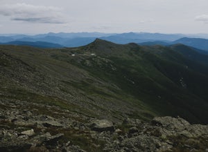
Madison Spring Hut to Lake of the Clouds Hut via Gulfside Trail
5.06.76 mi / 2441 ft gainMadison Spring Hut to Lake of the Clouds Hut via Gulfside Trail is a point-to-point trail that provides a good opportunity to view wildlife located near Randolph, New Hampshire.Read more -
Denmark, Maine
Summit Bald Peak and Mt. Pleasant
6 mi / 1450 ft gainAfter turning on Mountain Rd, look for East Pinnacle Condominiums. The trailhead is about 0.1miles after that on the right between the telephone poles marked 49 and 50. There is a dirt parking lot to pull into. Now on to the hike! This hike begins by heading straight uphill immediately, and you ...Read more -
Gorham, New Hampshire
Hike the Imp Face Trail
6.1 mi / 2080 ft gainStart a few miles north of the Joe Dodge Lodge and Pinkham Notch. If starting in Gorham, the trailhead is 6-8 miles south and will be on the east side of the road. Starting at about 1000 ft, hike in about 5 miles and 5 miles back to beginning. Two routes back, both about the same distance.Startin...Read more -
Stow, Maine
Hike to Rattlesnake Pool
2.11 mi / 207 ft gainThe best place to start your hike is from Route 113 near Gilead, head towards Stone House Road. This becomes Shell Pond Road. A few miles in, you'll find a gated area where you can park. This trail, and Rattlesnake Pool, are both on private land - so be sure to practice leave no trace principles.Read more -
Randolph, New Hampshire
Hike the Northern Presidentials
15.6 miThe Presidential Range is a mountain range located in the White Mountains of New Hampshire. They contain the highest peaks of the Whites and are named after Presidents of the U.S. I also want to add that this range is known for having some of the worst weather in America, mainly because of the un...Read more -
Woodstock, Vermont
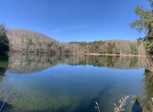
The Pogue and Mount Tom Trail
4.38 mi / 751 ft gainThe Pogue and Mount Tom Trail is a loop trail that takes you by a lake located near Woodstock, Vermont.Read more -
Jefferson, New Hampshire
Summit Mount Waumbek via the Starr King Trail
5.07.2 mi / 1500 ft gainThe hike starts out at the Starr King trailhead because you will summit Starr King Mountain (3,907 ft - so close to being a 4000 footer!) before moving on to Waumbek. The 2.6 miles that it takes to get to the first summit are gradual and forgiving. The majority of the total elevation is completed...Read more -
368 Weathersfield Trail, Vermont
Hike Mount Ascutney
3.05.2 mi / 2326 ft gainThis route to the top of Mount Ascutney is completed via the Weathersfield Trail. This trail goes past gorgeous Cascade Falls - often frozen in the winter months. There is a great spot to eat lunch at the top of Mount Ascutney to the side of the hang glider landing. While the summit itself does n...Read more

