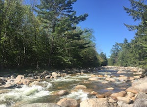
Epsom, New Hampshire
Looking for the best photography in Epsom? We've got you covered with the top trails, trips, hiking, backpacking, camping and more around Epsom. The detailed guides, photos, and reviews are all submitted by the Outbound community.
Top Photography Spots in and near Epsom
-
Jaffrey, New Hampshire
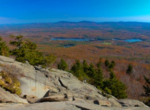
Mount Monadnock via White Dot Trail
4.43.46 mi / 1699 ft gainMonadnock State Park is located in and around the 3,165-ft. Mount Monadnock. Mount Monadnock is crisscrossed by many miles of well-maintained hiking trails. The popular White Dot Trail (2.2 miles) is the shortest but steepest ascent to the summit, accessible from the Monadnock State Park headquar...Read more -
Ashburnham, Massachusetts
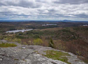
Summit Mount Watatic via the Wapack Trail
5.03 mi / 800 ft gainEntering Mount Watatic in your GPS will take you to Rindge State Road (119), continue about two minutes down the road past where the GPS tells you. on the Right hand side you will will see a sign for Mount Watatic Parking area or just enter in coordinates: 42.696796, -71.904521 You will begin the...Read more -
Ipswich, Massachusetts
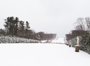
Photograph Castle Hill
4.0Castle Hill refers to either a 165-acre drumlin surrounded by sea and salt marsh or to the mansion that sits on the hill. Both are part of the 2,100-acre Crane Estate located on Argilla Road in Ipswich, Massachusetts.Take a walk through the public garden or down to the beach. Plenty of beautiful ...Read more -
Jaffrey, New Hampshire
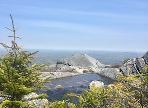
Summit Mt. Monadnock via Marlboro Trail
5.04 mi / 2300 ft gainStart at the Marlboro Trailhead (you can enter this in Google maps) off Shaker Road. There's parking and porta-potty bathrooms. The trail is well-marked with white dashes/M marks all the way up. Once on trail, the initial 800 ft climb is through forested terrain with a few brooks and streams alon...Read more -
Thornton, New Hampshire
Hike the Welch Mountain and Dickey Mountain Loop
5.04.1 mi / 1807 ft gainThis is a very well-marked and traveled trail, marked with yellow blazes. Start off at the trailhead (easy parking, $3 fee) and be sure to go counter-clockwise for the best route. The beginning of the trail meanders along next to a babbling brook and through forested terrain. The climb gets stead...Read more

