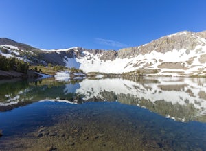
Stateline, Nevada
Looking for the best fishing in Stateline? We've got you covered with the top trails, trips, hiking, backpacking, camping and more around Stateline. The detailed guides, photos, and reviews are all submitted by the Outbound community.
Top Fishing Spots in and near Stateline
-
Pollock Pines, United States
Hiking the Jenkinson Lake Loop Trail at Sly Park
4.0The Jenkinson Lake Loop Trail runs along Jenkinson Lake, making for an easy, shaded, and well-marked hike that the entire family can enjoy. The full loop is over eight miles, but can be easily modified into a shorter trip, as well.Along the way, you will see a variety of activities along the lake...Read more -
Verdi, Nevada
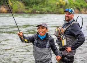
Fly Fish the Truckee River
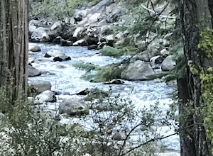
At just 121 miles long from Lake Tahoe to Pyramid Lake, the Truckee River continues to produce the largest trout in the Lower 48. Fly fisherman commonly divide the river into two reaches – East & West. And just outside of Reno in the small town of Verdi, the Bridge Street bridge is an excelle...Read more -
Reno, Nevada
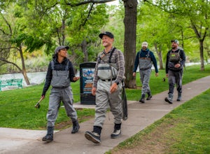
Fly Fish the Truckee River from Wingfield Park
At just 121 miles long from Lake Tahoe to Pyramid Lake, the Truckee River continues to produce the largest trout in the Lower 48. Fly fisherman commonly divide the river into two reaches – East & West, and there is excellent fishing to be found right in downtown Reno all along the Truckee and...Read more -
Emigrant Gap, California
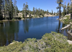
Loch Leven Viewpoint Trail
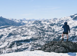
5.06.41 mi / 1522 ft gainLoch Leven Viewpoint Trail is an out-and-back trail to a viewpoint of the Loch Leven Lakes that is moderately difficult located near Truckee, California. This trail is just under 6.5 miles. If you're willing to add a little more than a mile to your adventure, you can head all the way to Upper Loc...Read more -
Sparks, Nevada
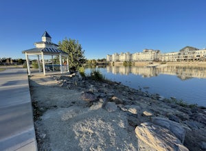
Sparks Marina Loop
3.01.94 mi / 30 ft gainSparks Marina Loop is a loop trail that takes you by a lake located near Sparks, Nevada.Read more -
Pinecrest, California
Camp at Baker Campground
5.0/ 6224 ft gainBaker Campground is a first come, first serve campground. Each site is equipped with a fire ring, picnic table, and bear boxes. The cost for a single family site is $20 per night and a double family site is $40 per night. The campground provides bathrooms and potable water. The campground is typi...Read more -
Pinecrest, California
Lower & Upper Relief Valleys and the East Flange Rock
21.6 mi / 3600 ft gainThe Lower and Upper Relief Valleys are beautiful alpine valleys cut by Relief Creek in the heart of the Emigrant Wilderness and are an excellent alternative to Yosemite National Park if you're looking for solitude and no crowds. The East Flange Rock juts prominently over Lower Relief and is an ea...Read more -
Pinecrest, California
Climb Granite Dome via Lower & Upper Lewis Lakes
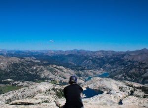
25 mi / 5000 ft gainGranite Dome is the signature peak in the Emigrant Wilderness, with fantastic views north to the Carson-Iceberg Wilderness, east to the Hoover Wilderness (Sawtooth Ridge), and south to Yosemite including, on a clear day, Cathedral Peak and the Cathedral Range.There are several routes up Granite D...Read more -
Mono County, California
Leavitt Lake in Stanislaus National Forest
4.07.44 mi / 1385 ft gainSituated on the eastern edge of Emigrant Wilderness, Leavitt Lake is a great introduction to backpacking in the Sierra Nevada. Leavitt Lake is located at the end of Forest Service Route 077 off of Highway 108. It is actually possible to drive to Leavitt Lake, but a high clearance vehicle is requi...Read more

