Carson City, Nevada
Looking for the best chillin in Carson City? We've got you covered with the top trails, trips, hiking, backpacking, camping and more around Carson City. The detailed guides, photos, and reviews are all submitted by the Outbound community.
Top Chillin Spots in and near Carson City
-
South Lake Tahoe, California
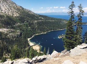
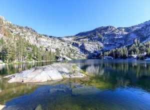
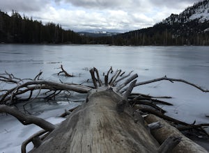
Backpack to Eagle Lake and Dick's Lake
4.513 mi / 1500 ft gainGet ready to get your lake on! This backpacking trip will take you 13+ miles through awesome scenery to several alpine lakes.Starting at the Bayview Campground, off of HWY 89, this hike follows the Granite Lake Trail along a difficult climb. Don't let the climb discourage you! As you climb, the v...Read more -
South Lake Tahoe, California
Hike to Snow Lake in Desolation Wilderness
5.05 miThis wonderful alpine lake is a relatively short hike in Desolation Wilderness and is a perfect introduction to off trail exploration. This area lacks the crowds that other lakes in Desolation garner because most maps don't show the trail leading to the lake. Although there is a rough trail, the ...Read more -
South Lake Tahoe, California
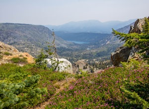
Lower, Middle, and Upper Velma Lakes
3.010.14 mi / 2316 ft gainThe hike starts at Bayview Trailhead (Latitude: 38.938619 | Longitude: -120.14197). A wooden sign points right to "Desolation" and left to Cascade Falls. Follow the sign towards Desolation. The first 3/4 mile is comprised of switch-backs that lead to a high point with a spectacular view of Lake T...Read more -
South Lake Tahoe, California
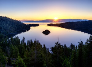
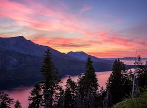
Photograph Lake Tahoe’s Inspiration Point
4.7Lake Tahoe’s Emerald Bay is a national natural landmark and is one of the prettiest parts of the lake. Inspiration Point is located along route 89 on the Southwest side of Tahoe about 10 miles from South Lake Tahoe or about 33 miles South from Truckee. It is very easy to get to, and its high va...Read more -
South Lake Tahoe, California
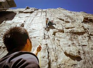
Rock Climb the 90ft. Wall
5.0Park at the Eagle Creek Canyon parking lot. If it's full, park alongside the Hwy 89, right at the entrance of the Eagle Creek Canyon parking pullout. Both parking areas fill up quickly, so if those two are full, park across the street at Emerald Bay Vikingsholm Trail parking lot. That area can fi...Read more -
South Lake Tahoe, California
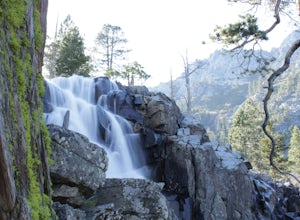
Eagle Falls Vista Loop
0.56 mi / 138 ft gainEagle falls is a short walk from the main Emerald Bay vista point. The top of the falls are cool to look at themselves, with great views of the lake.Read more -
South Lake Tahoe, California
Capture the Sunset at the Angora Ridge Fire Lookout
The Angora Ridge Fire lookout sits above the serene Fallen Leaf Lake with incredible views of Mt. Tallac and Desolation Wilderness. You can hike, bike or drive to the lookout. This is a great spot to photograph the sunset, as the sky will reflect off both Fallen Leaf Lake and Lake Tahoe. Bring a ...Read more -
Reno, Nevada
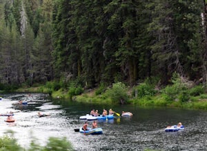
A Lazy (Fun) Float Down the River
4.5Start your day by heading to Tahoe City where the East and North Shores of Lake Tahoe meet. Be sure to grab supplies along the way including drinks, picnic lunch, sunscreen, coolers, floating devices (if you aren’t interested in renting) and maybe even some super soakers if you are planning to ...Read more -
Tahoe City, California
Hike the Ellis Peak Trail
5.06.3 mi / 1660 ft gainThe Ellis Peak Trail is close to North Lake Tahoe. The trail features scenic wildflowers in the spring and summer. Dogs are allowed on the trail but must be kept on leash. Directions from Truckee: Take Highway 80 south and drive to Tahoe City - continue south on Highway 89 from Tahoe City for 4....Read more -
South Lake Tahoe, California
Cliff Jumping Paradise
4.5If you choose to go cliff jumping, be safe and know your limits ahead of time. Don't feel like the big jump is your only option, there are lower jumps, especially across from the beach (only about 15ft. high). Angora Lake in Lake Tahoe is a easy 1mi hike up, but well worth it at the top. It's a b...Read more -
Tahoma, California
Hike to Half Moon Lake in Desolation Wilderness
5.011 mi / 1600 ft gainThis hike starts at the Glen Alpine Trailhead near Fallen Leaf Lake. Because Desolation is a wilderness area, you are required to fill out a day-use permit which can be found at the trailhead. If you are backpacking make sure to obtain an overnight permit either online or at the Taylor Creek Visi...Read more -
Echo Lake, California
Hike Flagpole Peak from the bottom of Echo Summit
3.5 mi / 1900 ft gainFor this hike there are two places you can start from. One is at the Echo Lakes parking lot and the other is at the bottom of Echo Summit (where we started at). Parking at the gun tower at the bottom of Echo Summit you'll be looking right at the face of Flagpole. After parking just off the side o...Read more -
Echo Lake, California
Hike the Echo Lake Trail
4.05 mi / 688 ft gainThe Echo Lakes Trail goes through California's Desolation Wilderness and features incredible views. This trail is rated as moderate, and is best for excited beginners or intermediate hikers. This hike takes roughly 3.5-4 hours. Dogs are allowed on trail if kept on leash. The trail is best used fr...Read more -
Echo Lake, California
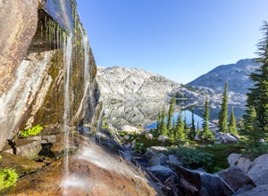
Backpack to the "Waterfall Camp" in Desolation Wilderness
4.710.5 mi / 1522 ft gainAlthough this hike can be done as a day hike, it is an awesome place to camp. There is a lot to explore and you will want to spend as much there time as you can. The easiest way to start this hike is to start at the Echo Lakes. There is ample parking above the marina and you even have the option ...Read more -
Echo Lake, California
Hike to Jabu Lake in Desolation Wilderness
3.7Although this hike can be done as a day hike, there are incredible camping spots near the lake. The easiest way to start this hike is to start at the Echo Lakes. There is ample parking above the marina and you even have the option of taking a water taxi across the echo lakes to cut off around 2.5...Read more -
Verdi, Nevada
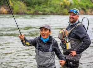
Fly Fish the Truckee River
At just 121 miles long from Lake Tahoe to Pyramid Lake, the Truckee River continues to produce the largest trout in the Lower 48. Fly fisherman commonly divide the river into two reaches – East & West. And just outside of Reno in the small town of Verdi, the Bridge Street bridge is an excelle...Read more

