Beatty, Nevada
Looking for the best photography in Beatty? We've got you covered with the top trails, trips, hiking, backpacking, camping and more around Beatty. The detailed guides, photos, and reviews are all submitted by the Outbound community.
Top Photography Spots in and near Beatty
-
Inyo County, California
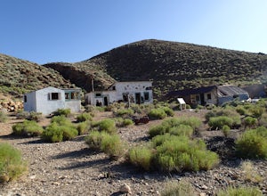
Explore Aguereberry Camp
Pete Agueberry came Death Valley in 1905. After a legal battle, Pete gained control of the Eureka Mine in 1909. He worked the mine alone for nearly 40 years before his death. The original cabin that Pete lived in is still on the site. The buildings in the front were built in the 1940's as guest h...Read more -
Inyo County, California
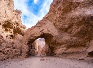
Natural Bridge Canyon
4.71.39 mi / 518 ft gainNatural Bridge Canyon is one of the few canyons in Death Valley with an official trailhead that can be easily accessed from the parking lot. You’ll find the trailhead off Highway 178, just 4 miles south of the Artist’s Drive scenic loop. The hike is nice and easy and great for families or large ...Read more -
Inyo County, California
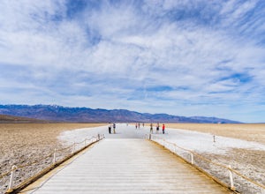
Badwater Basin's Salt Flats
4.61.92 mi / 43 ft gainTaking a walk on the salt flats at Badwater Basin is like no other experience in Death Valley National Park. These flats cover nearly 200 square miles across the park, which makes them one of the world’s largest protected salt flats. With an elevation of 282 feet below sea level, Badwater Basin i...Read more -
Inyo County, California
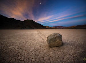
Racetrack Valley
5.0Death Valley National Park is home to some remarkably surreal landscapes, none stranger than Racetrack Valley and its famous moving rocks. For decades, the mechanism of the rocks’ movement was unknown and the subject of much speculation, some scientific and some not, but the mystery was finally ...Read more -
Inyo County, California
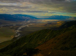
Photograph Dante's View of Death Valley
4.7In all of Death Valley National Park, Dante's View might just be the best spot to watch the light fade away after a long day. Unfortunately, it is one of the highly missed spots along the Highway 190 Death Valley route. This might be due to the fact that it is about 15 miles off of the highway, b...Read more -
Inyo County, California
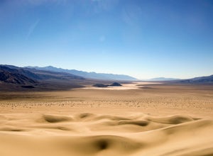
Panamint Dunes
5.07.23 mi / 935 ft gainYou can do this as a day trip and just wander the dunes, but I really enjoyed the overnight with great evening views, amazing stargazing, and a sunrise exploration of the sand dunes. For an overnight trip I recommend you start hiking later in the day, when the temperature is a bit cooler. If you...Read more -
Inyo County, California
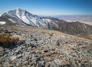
Summit Telescope Peak
12.2 mi / 3258 ft gainThe trail starts at Mahogany Flat campground which can be hiked to from the Charcoal Kilns to the north or more immediately accessible via 4WD on a dirt access road - use caution when driving this road in icy conditions. Once at the Mahogany Flat Campground, the trailhead is towards the south an...Read more

