Pray, Montana
Top Spots in and near Pray
-
Livingston, Montana
Summit Arrow Peak
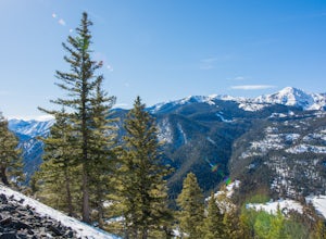
2.4 mi / 3600 ft gainStarting in Livingston, MT, take Hwy 89 for 16 miles and take a left on Mill Creek Road. A junction with Road 540 will be reached. At this junction, continue on Mill Creek Road for another 8 miles until a large rock gully on the left is present and a wooden fence is on the right. The route is not...Read more -
Gallatin Gateway, Montana
Hike to Emerald and Heather Lake
5.010.9 mi / 2000 ft gainOnce in Bozeman, Take 19th Ave. south to Hyalite Canyon Rd. Turn left and continue past Hyalite Reservoir; when the road splits, take the left fork toward Palisade Falls. Continue past Palisade Falls to the end of the road. The trailhead is immediately ahead of you. This hike is around 11 miles t...Read more -
Livingston, Montana
Summit Hyalite Peak
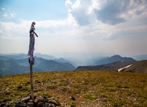
4.915 miHyalite peak is one of my favorite hikes. Named after the canyon it sits in Hyalite peak as 360 degree views, an offers and escape from the crowds of Hyalite Canyon due to the length of the hike. This 15 mile hike starts at the upper parking lot of hyalite canyon. The trail follows a river nearly...Read more -
Livingston, Montana
Ice Climb in Hyalite Canyon
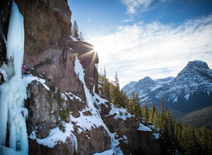
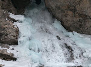
Hyalite Canyon in Bozeman, MT is one of North America's premier places to ice climb. From easy ice climbs to difficult mixed routes, Hyalite has something for everyone. Most climbs are short approaches that allow you to get out for just an afternoon but there is so much potential, you can spend a...Read more -
Livingston, Montana
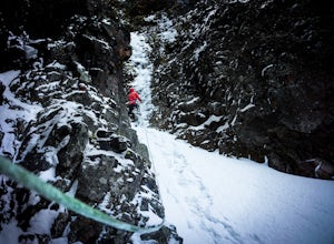
Climbing Alpine Ice at Emerald Lake
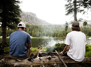
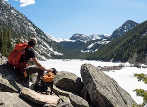
From the East Fork parking lot in Hyalite Canyon hike 4 miles gaining an easy 1,500 feet to Emerald Lake. Surrounded by mountains, Emerald Lake is a beautiful destination in itself. If you are looking for climbing, pick one of the many lines around.My partner and I decided to pick off one of the ...Read more -
Bozeman, Montana
Climb the Bozeman Pass
4.0Bozeman Pass is a great crag just out side of Bozeman. It offers limestone sport climbing ranging from 5.6-5.13. The approach is a short hike, unfortunately right next to the road, but otherwise enjoyable. To get there, you drive east towards billings and exit at trail creek, and take a left unde...Read more -
Gallatin Gateway, Montana
Hike to Golden Trout Lakes
4.05 mi / 1300 ft gainThe Golden Trout lakes offer a scenic getaway just out of the Gallatin Valley Canyon. To access the trail head, turn east onto Portal Creek Road #984 and continue southeast for 6.8 miles. The road is in rough condition and is better suited for vehicles with a higher clearance. The trail head is e...Read more -
Gallatin Gateway, Montana
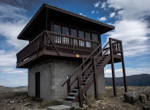
Hike to Garnet Mountain Lookout
5.07.7 mi / 2800 ft gainStarting in Bozeman, travel south of Gallatin Gateway about 5 miles on Hwy 191 and turn left on to Storm Castle Creek Road. Follow this road for about 3.5 miles until the road ends. At this point, there is a decent sized parking area. The trail is open year round with ATV access and also snowmobi...Read more -
Mc Leod, Montana
Hike to the Natural Bridge Falls
5.02 mi / 300 ft gainAlthough this recreation area is at minimum 30 minutes out from any town, the road leading to the location is amazing and allows for some sweet views. Once you arrive, there will be a relatively small, paved place to park as well as bathrooms. Right behind the bathroom is the start to the trail.T...Read more -
Gallatin Gateway, Montana
Hike to Lava Lake
5.06 mi / 1600 ft gainThe 6 mile round trip to Lava Lake is a steady climb that runs beside Cascade Creek through the Lee Metcalf Wilderness. The trail starts at the Gallatin River and continues upward through dense evergreen forest. There are no confusing intersections but is quite rocky and considered to be moderate...Read more -
Gallatin Gateway, Montana
Summit Storm Castle Peak
4.85 mi / 1900 ft gainStorm Castle (or Castle Mountain) is a rocky peak that rises to an elevation of 7,280 ft on the east side of the Gallatin Canyon overlooking Beckman Flats. The hike is a gorgeous 5 mile out and back trail located just 30 minutes south of Bozeman, Montana in the Gallatin Canyon. This trail offers ...Read more -
Park County, Wyoming
Hike to Soak in the Boiling River
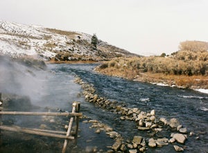
3.91.25 miBoiling River Hot Springs is an awesome year-round place to experience the geo-thermal energy of Yellowstone in a more personal way. The Boiling River emerges out of a spring at boiling temperature and cascades down to the banks of the Gardiner, where they intercept and form a series of pools whi...Read more -
Yellowstone National Park, Wyoming
Explore Mammoth Hot Springs
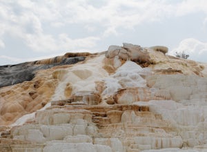
4.7These natural hot springs are crazy cool and very rare, which makes for an unforgettable trip. The hot springs are located right off of highway 89. With easy parking, restrooms and a town less than half a mile up the road this location is very convenient. The area provides boardwalks which makes ...Read more -
Beaver Ponds Trail, Wyoming
Hike Beaver Ponds Loop
5.05 mi / 400 ft gainBeaver Ponds Loop offers a perfect day hike in the Mammoth Hot Springs area of Yellowstone National Park. How to get there: The trailhead for Beaver Ponds is located just north of the Mammoth Hot Springs thermal area on Grand Loop Road. Although there is no designated parking lot for Beaver Po...Read more -
Bozeman, Montana
Hike Sypes Canyon
3.04 miSypes Canyon Trail is a gorgeous hike to a scenic lookout over Bozeman, MT. The trail only lies 20 minutes north of Bozeman and offers the perfect after work exercise. The trail is heavily populated with people and trail conditions fluctuate throughout the year. The trail follows a small creek th...Read more -
Gallatin Gateway, Montana
Backpack the Gallatin Crest Trail
42 mi / 6000 ft gainThere are some different options for starting and ending this hike, but the route I did started at Buffalo Horn Trailhead and ends at the Hyalite Creek Trailhead, and is approximately 42 miles total. I did the trail over the course of three and a half days, spending three nights in the backcountr...Read more
Top Activities
Camping and Lodging in Pray
Livingston, Montana
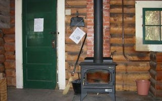
Mill Creek Cabin
Overview
Mill Creek Cabin was built in 1927 as a temporary lodging for traveling Forest Service personnel. The cabin can be accessed by v...
Livingston, Montana
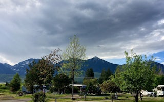
Livingston / Paradise Valley KOA Holiday
This award-winning KOA boasts 500 feet of Yellowstone River frontage in one of the most beautiful valleys in the U.S. Just 9 miles off of...
Park County, Montana
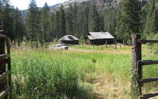
Big Creek Cabin
Overview
The original Big Creek Cabin was built in 1907 and it still stands on this site. The current cabin, a former guard station, was ...
Gallatin County, Montana
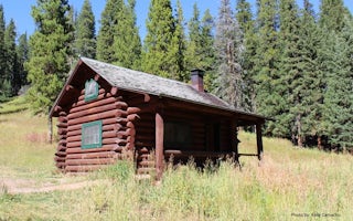
Window Rock Cabin
Overview
Window Rock Cabin was built in 1940 and now offers a year-round retreat for outdoor enthusiasts. It is ideally located in one o...
Livingston, Montana
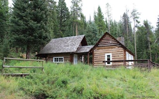
Maxey Cabin
Overview
Maxey Cabin offers a quaint mountain retreat that is ideally located in one of Gallatin National Forest's most popular recreatio...
Bozeman, Montana
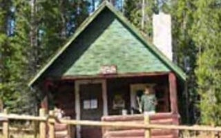
Trail Creek Cabin
Overview
Trail Creek Cabin, built in 1924, was the original ranger station for the Bozeman Ranger District. It is available year round, o...

