Polson, Montana
Top Spots in and near Polson
-
Kalispell, Montana
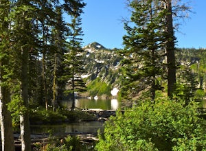
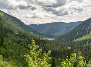
Backpack to Black Lake
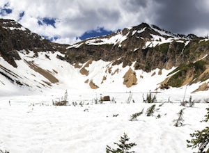
7 mi / 1500 ft gainBegin at Camp Misery (elev. 5,717 ft). This is a total misname by the way! It should be titled Camp On The Way To Awesomeness! Anyway, head .6 miles on Trail 8 to the intersection of trail. From here turn right on Trail 68 and hike .7 miles until the intersection where you turn right on Trail 7 f...Read more -
Kalispell, Montana
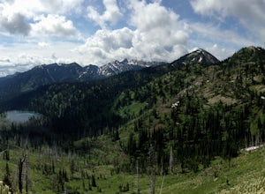
Backpack to Clayton Lake
9 mi / 1500 ft gainFrom the Camp Misery Trailhead (elev. 5,717 ft) take the left Trail 8 for .6 miles. At the junction continue left for a 1.3 mile gently ascent into Jewel Basin. Nearing Twin Lakes continue left on Trail 7 for .6 miles until you reach Trail 55. Continue right, and make sure that after a short .3 m...Read more -
Kalispell, Montana
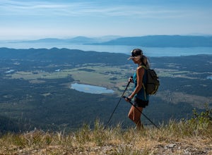
Flathead Lookout
5.02.4 mi / 666 ft gainFlathead Lookout is an out-and-back trail that takes you through a nice forest located near Kalispell, Montana.Read more -
Bigfork, Montana
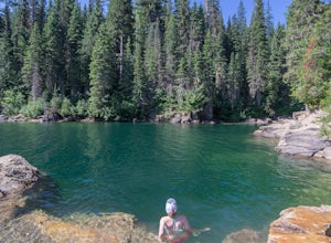
Swim in Graves Bay Swimming Hole
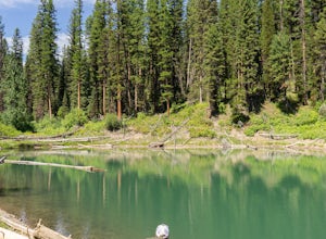
To get to this swimming hole you drive south from Hungry Horse on the West Side Road (Forest Road 895) 33.6 miles to the Graves Creek Campground. Park in the small parking lot with the bear box and outhouse, opposite the campground closer to the lake. Follow the path as it leads you past the casc...Read more -
Bigfork, Montana
Explore Graves Creek Falls
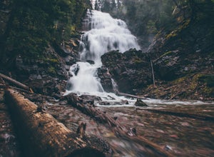
Graves Creek Falls are a series of pleasant waterfalls viewable without much effort. To get here From Hungry Horse drive south on the West Side Road (Forest Road 895) 33.6 miles to the Graves Creek Campground. From here turn right into the campground, park and take a short walk of a couple hundre...Read more -
Arlee, Montana
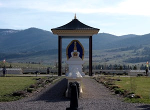
Explore Ewam Garden of One Thousand Buddhas
4.0Situated just north of Arlee, MT; the Garden of One Thousand Buddhas is not only extremely relaxing and absolutely beautiful, but it also aligns positive properties of the physical world in a sacred architectural arrangement based on the eight-spoked Dharma wheel. Visitors can relax and enjoy the...Read more -
Kalispell, Montana
Western Larch and Cliff Trail Loop
2.77 mi / 656 ft gainWestern Larch and Cliff Trail Loop is a loop trail that takes you through a nice forest located near Kalispell, Montana.Read more -
Flathead County, Montana
Hike to Blaine Mountain
7.3 mi / 2350 ft gainTo reach the trailhead for this hike, it is about an hour's drive from nearby Kalispell. You will drive around Hungry Horse Reservoir on the West Side Road, and turn off onto Doris Creek Road. Be sure NOT to get this mistaken with the nearby Doris Ridge Road. Once turning onto Doris Creek Road, i...Read more -
Hungry Horse, Montana
Hike to the Blue Lakes
2 mi / 100 ft gainThe drive out to the trailhead where this hike starts is an adventure in and of itself. As the Forest Service website describes it. "Silvertip Trailhead is accessed from Highway 2. From the town of Hungry Horse, drive east on Highway 2 for ½ mile to the East Side Reservoir Road #38. Turn right (s...Read more -
Condon, Montana
Hike to Morrell Falls
4.02.7 mi / 150 ft gainFrom the town of Seeley Lake, travel 0.5 mile north on Highway 83. Turn east (right) on Morrell Creek Road (small green street sign) which becomes Forest Service Road #477/Cottonwood Lakes Road, and travel 1.1 miles. Turn north (left) on West Morrell Road #4353 and travel about 6 miles. Turn east...Read more -
Martin City, Montana
Drive around Hungry Horse Reservoir
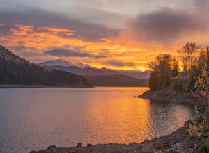
About 100 miles of mostly gravel roads (14 miles of pavement) will take you around this beautiful reservoir. With that many miles of road and the shoreline to go with it, it is obvious that there is plenty to see and do in the Hungry Horse area. Check out some of my other adventures for ideas of...Read more -
Essex, Montana
Hike to Dickey Lake
5.2 mi / 1463 ft gain*Parking for this hike is very limited, as the parking area can hold one, maybe two, vehicles. This 5.2 mile roundtrip hike begins near Essex, Montana, at 4,620 feet of elevation, and leads to a small, hidden lake nestled in the Great Bear Wilderness. Immediately after leaving the parking area, ...Read more -
Essex, Montana
Cross Country Ski at Izaak Walton Inn
The Izaak Walton Inn was established in 1939 to accommodate workers and visitors from the rapid expansion of the Great Northern Railway. Conveniently built near Highway two, it is a short drive from both the West Glacier and East Glacier Entrances. If driving from West Glacier, continue on Highwa...Read more

