Glacier, Montana
Looking for the best photography in Glacier? We've got you covered with the top trails, trips, hiking, backpacking, camping and more around Glacier. The detailed guides, photos, and reviews are all submitted by the Outbound community.
Top Photography Spots in and near Glacier
-
Bigfork, Montana
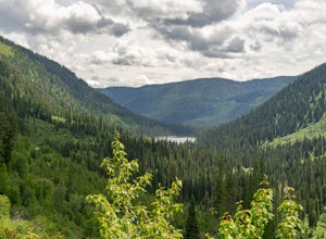
Explore Graves Creek Falls
Graves Creek Falls are a series of pleasant waterfalls viewable without much effort. To get here From Hungry Horse drive south on the West Side Road (Forest Road 895) 33.6 miles to the Graves Creek Campground. From here turn right into the campground, park and take a short walk of a couple hundre...Read more -
Flathead County, Montana
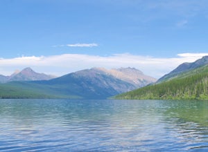
Kintla Lake Campground
* The road to this trailhead/lake is closed during the winter. Kintla Lake is one of the lesser explored lakes in Glacier National Park. Located on the west side of the park, it is accessible via an unpaved road from the Polebridge Ranger Station. From the Ranger Station, take a LEFT and contin...Read more -
Flathead County, Montana
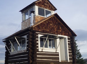
Camp Out at the Hornet Lookout
1 mi / 800 ft gainReservations for Hornet Lookout are obtained via Recreation.gov, and can be made up to six months in advance. Consider a four-wheel or all-wheel drive vehicle with some clearance if available, as the forest service roads aren't always well maintained. Although the hike is short, it is all switc...Read more -
Flathead County, Montana
Backpack to Link Lake
1.3 mi / 600 ft gainTo reach the trailhead, travel west on US Hwy 93 for 17.9 mi. and then turn right onto Olney Crossover Rd. This road will continue for 8.8 mi. and then keep left onto NF-115 for 9.7 mi. and the destination will be on the right hand side. There is a parking area where the trailhead begins. From th...Read more -
Kalispell, Montana
Summit Lake Mountain and Nasukoin Mountain
5.012 mi / 3500 ft gainTo reach the trailhead, travel west on US Hwy 93 for 17.9 mi. and then turn right onto Olney Crossover Rd. This road will continue for 8.8 mi. and then keep left onto NF-115 for 9.7 mi. and the destination will be on the right hand side. There is a parking area where the trailhead begins. From th...Read more -
Somers, Montana
Kayak to Pig Island
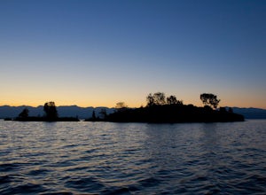
Drive to the North Flathead Launch in Somers, MT (15 miles south of Kalispell). Launch the kayaks and head south towards the yacht club. Once past the yacht club, paddle eastward, you should come upon a wooden shack, a number of wooden poles, and an island. Continue eastward past these various fe...Read more -
Bigfork, Montana
Hike to Bond Lake
5.011.6 mi / 2300 ft gainFrom Kalispell, head south towards Swan Lake along Highway 83 until a sign for Bond Creek Trailhead is located on the east side oft the road near mile marker 71. Turning onto Forest Service Road #680 and after 1.5 miles, turning on FS Road #9507, the trailhead will be 2.3 miles after the intersec...Read more -
Hungry Horse, Montana
Relax at Spotted Bear Beach
Spotted Bear Beach is a secluded white sand beach in the middle of Montana. To get here from the town of Hungry Horse, drive east on Highway 2 for ½ mile to the East Side Reservoir Road #38. Turn right (south) onto Road #38 and drive on through the town of Martin City. After two miles the pavemen...Read more

