Glacier County, Montana
Top Spots in and near Glacier County
-
48.696704,-113.718345
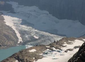
Grinnell Glacier Overlook via Highline Trail
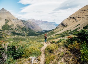
4.015.23 mi / 1000 ft gainThere are two ways to get to this trail. Preferred route: Start the Highline Trail at Logan Pass. Hike 7.5 miles on a pleasantly gradual trail to get to the overlook trail. Alternate route: You can instead start at The Loop (shuttle stop), hike up to the Granite Park Chalet, and then hike an addi...Read more -
Browning, Montana
Reynolds Mountain
4.511 mi / 2500 ft gainReynolds Mountain stands high above the Logan Pass Visitors Center. Because of it's easy location, be prepared to get caught in the heavy rush of tourists on the way up. Though most will not be going to Reynolds Mountain, you will still need to "wade" through heavy tourism to reach the trail he...Read more -
Browning, Montana
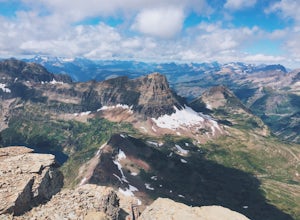
Summit Reynolds Mountain via the North Face Ascent Route
7.9 mi / 2500 ft gainMt. Reynolds is a premier peak in Glacier National Park (GNP). The views from the beginning to the summit are incredible all the way around. Reynolds offers those who are starting to climb an introductory climb with little technicality and a reward that is well earned at the top. GNP requires an ...Read more -
Browning, Montana
Hike Dragon's Tail Ridge
3.53 mi / 1800 ft gainStarting from Logan's Pass, make your way along the boardwalk that leads to the Hidden Lake Overlook. Depending on the previous winter, there may be quite a bit of snow covering large portions of the boardwalk and trail that leads to Dragon's Tail, so it is suggested that you take any necessary p...Read more -
Browning, Montana
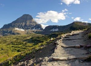
Hidden Lake Overlook
5.02.83 miThe trail starts at the Logan Pass Visitor Center, which is right in the middle of Going-To-The-Sun Road. It can be very busy during the middle of the day, but early morning and early evening will have less of a crowd. It's a pretty short hike in a beautiful wide open alpine meadow. We were gree...Read more -
Browning, Montana
Photography on Logan Pass
5.0Disclaimer: Glacier National Park has closed any off-trail activity in this area. The majority of the photos can be taken on-trail. Please be sure to adhere to the park's policy.With a short window of opportunity for visiting, Logan Pass offers a wealth of photographic options. As the winter sno...Read more -
West Glacier, Montana
Bike Glacier's Going to the Sun Road
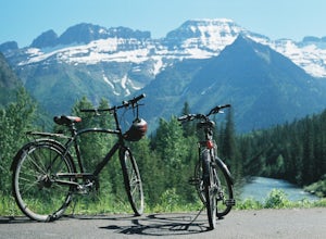
5.016 mi / 2460 ft gainBike up the road towards Logan Pass. Make sure to stay alert for traffic coming up and down the road. Helmets and flashing red, rear lights are required when biking at night in Glacier National Park. A forward facing light is also recommended to see gravel and other obstacles. Make sure to keep e...Read more -
Browning, Montana
Backpack to the Foot of Glenns Lake
20.6 mi / 950 ft gainStarting from the Chief Mountain Parking Area, take the trail to the left of the bathrooms at the end of the parking lot (left of the bathrooms if you are facing the bathrooms and the main road is to your right). You will quickly hike to a wooden kiosk. Read this kiosk for any pertinent informati...Read more -
Browning, Montana
Backpack to Cosley Lake
27.2 mi / 475 ft gainThe hike goes through different wooded areas, open fields, and passes by the ranger's ranch. In no time, you will be able to see the aqua blue colors of Cosley Lake, as you approach the campground for the night.The campground has pit toilets and a bear bag hanging station, along with a cooking ar...Read more -
West Glacier, Montana
Avalanche Lake via Trail of Cedars
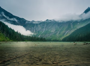
4.95.91 mi / 730 ft gainThis very scenic Glacier National Park hike off of Going-to-the-Sun road is 4.5 miles with a total elevation gain of 730 feet. The hike to Avalanche Lake begins from the Trail of the Cedars trailhead. Be prepared for a lot of incline. Approximately one half mile from the trailhead you’ll reach...Read more -
West Glacier, Montana
Trail of the Cedars
5.00.88 mi / 121 ft gainTrail of the Cedars Trail is a loop trail that takes you by a river located near Lake Mc Donald, Montana.Read more -
West Glacier, Montana
Explore Avalanche Creek
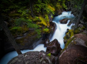
5.00.7 miAvalanche Creek is one of Glacier National Park's easiest features to access and also one of its most unique. The old-growth cedar forest is home to towering trees, moss-covered boulders, and a rushing stream of glacial water. A small loop trail winds through the lower forest and leads to a bri...Read more -
Glacier County, Montana
Triple Divide Pass Trail to Red Eagle Lake
29.22 mi / 5499 ft gainA couple of notes to keep in mind before you start... this is a loop that takes you to a different part of the park so you will either need two vehicles (one for the pickup spot and one to take you to the trailhead) or you will need to hitchhike back to you drop off vehicle. Also you will need to...Read more -
West Glacier, Montana
Bike Going-to-the-Sun Road in Glacier National Park
5.050.65 mi / 5036 ft gainEvery Spring (May - June) Going-to-the-Sun road remains closed to cars long after the snow has been plowed and melted. However, just past the Lake McDonald Lodge a sign declares the road open to Hikers and Bikers, providing one of Montana's best adventures. Follow Going-to-the-Sun Road in from ...Read more -
West Glacier, Montana
Hike to the Mt. Brown Lookout
5.0The trail is accessible (though sometimes covered in snow) year-round because the trailhead lies in the lower elevation area of the park. It begins at the Sperry Trailhead, located directly across the street from the lake McDonald Lodge. Follow the Sperry Trail for 1.6 miles until you reach the M...Read more -
Waterton, Alberta
Hike to Crypt Lake
4.310.8 mi / 2296.6 ft gainThe hike begins with a gradual climb through shaded forest, which thins as you progress into the hanging valley. Along the way, you will pass by three amazing waterfalls: Twin Falls at 3.5km (2 mi), Burnt Rock Falls at 5.6km (3.5 mi) and the 600ft Crypt Falls at 8km (5 mi). There is also a 1km (0...Read more

