Top Spots in and near Flathead National Forest
-
Martin City, Montana
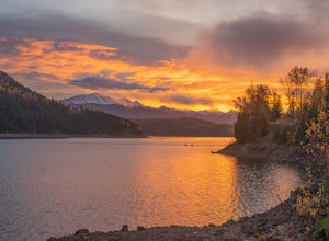
About 100 miles of mostly gravel roads (14 miles of pavement) will take you around this beautiful reservoir. With that many miles of road and the shoreline to go with it, it is obvious that there is plenty to see and do in the Hungry Horse area. Check out some of my other adventures for ideas of...
Read more
-
Hungry Horse, Montana
The drive out to the trailhead where this hike starts is an adventure in and of itself. As the Forest Service website describes it. "Silvertip Trailhead is accessed from Highway 2. From the town of Hungry Horse, drive east on Highway 2 for ½ mile to the East Side Reservoir Road #38. Turn right (s...
Read more
-
Dayton, Montana
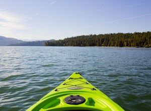
There are many boat ramps to access Flathead Lake, but the closest location to Wild Horse Island is Dayton, MT. Dayton offers easy access with only about a 1-hour paddle to the island for the novice kayakers. Unfortunately, the boat ramp in Dayton does not have room for parking, thus it is only a...
Read more
-
Kalispell, Montana
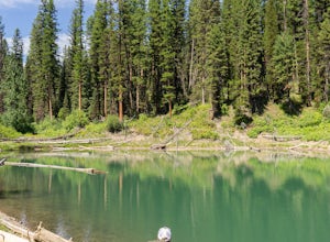
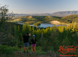
Western Larch and Cliff Trail Loop is a loop trail that takes you through a nice forest located near Kalispell, Montana.
Read more
-
Kalispell, Montana
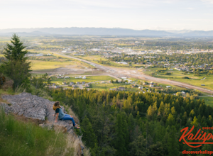
Notch Trail, Overlook Trail, and Plum Creek Road Loop is a loop trail where you may see local wildlife located near Kalispell, Montana.
Read more
-
West Glacier, Montana
The trailhead for Skiumah Creek Trail is located just off of highway 2, and is well marked from both directions of the road. It is roughly 15 miles East on Highway 2 from the West Glacier Entrance of Glacier National Park. Parking is located on the other side of Highway 2 than the actual trailhea...
Read more
-
Columbia Falls, Montana
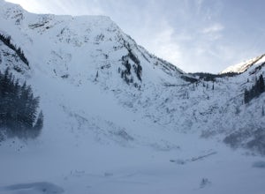
Precursor: I completed this hike in November, hence the snow in the photos. Due to a lack of tree coverage, this hike is best suited for a cool summer day, or in the late spring and early autumn. It is doable in the heat of the summer, but be sure to pack plenty of water.
This hike begins by tre...
Read more
-
Condon, Montana
About 2 mi. south of Condon, MT, take Rumble Creek Road east to Cooney Lookout and park at the trailhead at 4550 ft.
Follow the trail for about 1 mi. and after about 100 yards after the third bridge, look for a well worn trail heading up the hill side. Take this steep, hard-packed trail and follo...
Read more
-
West Glacier, Montana
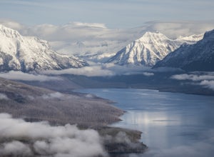
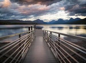
Lake McDonald doesn't offer the close-up views of glaciers and mountains like some of the other spots in Glacier NP, but it does offer sweeping views of park's west side. The most popular spot to photograph this grand perspective is along the southwest beach and dock. The dock makes the most in...
Read more
-
West Glacier, Montana
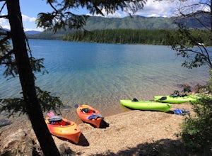
Rent kayaks at the shore of Lake McDonald and take them out for the day. Make sure to start early to get a full day in and leave yourself enough time to stop for lunch. There are multiple places to pull off and bring your kayaks onto the shore and do some small hikes. The views are spectacular fr...
Read more
-
West Glacier, Montana
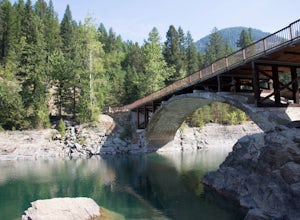
The Belton Bridge is the old entrance to glacier. You can get there by turning right down old river bridge road, which is the first right when you turn in to the West Glacier village. There are some 5-8 ft rocks to jump off, but be sure to check the water below them first. The water is gorgeous, ...
Read more
-
Glacier County, Montana
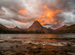
Two Medicine Lake sits in the southeastern part of Glacier NP away from the more popular Going-to-the-Sun Road. The 2-mile long lake has a 100 site campground that serves visitors on a first-come-first-serve basis; the campground opens mid-April and closes in November. From the main parking area...
Read more
-
Glacier County, Montana
Starting at the South Shore trailhead on Two Medicine Lake (parking available), you'll follow the lake through alternating forest and meadows and eventually cross a small suspension bridge.
Afterwards the trail forks. Take the "Two Medicine Pass" trail on the left rather than the Twin Falls/Upp...
Read more
-
Glacier County, Montana
5.0
7.74 mi
/ 2205 ft gain
Park at the trailhead and begin the hike. The trail starts out relatively flat until you reach a small waterfall. Then, hike up the switchbacks for about 4 miles while gaining around 2300 feet.
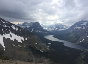
From the top, you can see both Upper Two Medicine Lake and Two Medicine Lake. The views are stunning. ...
Read more
-
East Glacier Park, Montana
5.0
12.01 mi
/ 2450 ft gain
This is a somewhat strenuous but extremely rewarding hike in Glacier National Park. It is much less crowded than the more popular Logan Pass and High Line trails, and in my opinion, more rewarding.
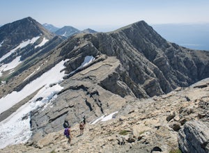
Dawson Pass is on the Continental Divide at an elevation of 7,598 feet. It sits between Mt. Helen ...
Read more
-
Glacier County, Montana
This gripping, 16 mile round trail reveals adventure at every turn. Nestled behind Pray Lake in Glacier National Park, the Pitamakan Pass hike will begin at the North Shore Trailhead. To access this trailhead, a fifteen dollar fee may be payed to cross Pray Lake by boat. If your pocket book is ru...
Read more

