Flathead County, Montana
Looking for the best hiking in Flathead County? We've got you covered with the top trails, trips, hiking, backpacking, camping and more around Flathead County. The detailed guides, photos, and reviews are all submitted by the Outbound community.
Top Hiking Spots in and near Flathead County
-
West Glacier, Montana
Waterton Lakes via Packers Roost
5.022.15 mi / 4596 ft gainDay 1: This gorgeous backpacking adventure begins at the Packer's Roost trailhead, which is almost halfway between West and East Glacier on the Going-to-the-Sun Road. This trailhead is marked on the highway before you get to the "Loop." It's a quick left turn so keep your eyes peeled as you pass ...Read more -
Browning, Montana
Climb Pollock Mountain and Bishop's Cap
8 mi / 4300 ft gainStarting at Logan Pass, drive 0.8 mi. east to Lunch Creek parking area. Parking during the summer at Glacier National Park is often difficult. Plan on arriving at the parking lot before 8 am to guarantee a parking spot. From Lunch Creek, follow the well established trail north until cliffs are re...Read more -
West Glacier, Montana
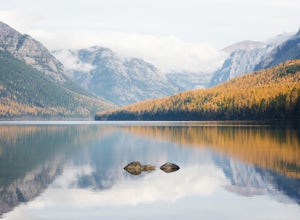
Camp at Bowman Lake
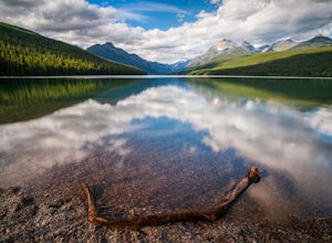
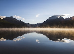
5.026.85 mi / 3005 ft gainBowman lake is the 3rd largest lake in Glacier National Park and one of the most remote areas accessible by car. The drive out on a dirt road is slow and bumpy but the reward is an area without crowds and lots of adventure potential. The first-come-first-served campground offers 48 sites near t...Read more -
West Glacier, Montana
Waterton Lake via Bowman Lake
49.5 mi / 6365 ft gainOur trip started on Thursday evening, spending the night at the Bowman Lake campground. You can park your car here and it's where the hike will start and end. I recommend staying here the night before because day 1 is a doozy, so you'll want an early start. Day 1 is the hardest day of the hike, ...Read more -
West Glacier, Montana
Bowman Lake to Quartz Lake Loop
5.013.3 mi / 2618 ft gainThe trail to Quartz lake begins on southend of the Bowman Lake beach. I recommend going in a clockwise direction and getting the steep bit out of the way, but the ~13 mile loop can be done either way. Follow the Bowman Lake shore on the West Lakes Trail for about half a mile and then you will fi...Read more -
Browning, Montana
Gunsight Pass to Gunsight Lake Campsite
5.013.06 mi / 1667 ft gainHow to Get There: Get your backcountry pass at the St. Mary visitor center and then head over to the hike, which begins from the Jackson Glacier Overlook, located 12.6 miles west of the center on the Going-to-Sun-Road. The Hike: The first mile of the hike is a downhill, and then the trail is ...Read more -
Browning, Montana
Hike Mount Siyeh
5.08.45 mi / 4209 ft gainOnce the Going-To-The-Sun Road has opened fully, this massive peak is accessible by driving to Siyeh Bend on the east side of the Logan Pass Visitors Center. Plan on a sun up to sun down adventure. Choose a sunny summer day and head up to hit the trail! Park at Siyeh Bend, and start on the Pie...Read more -
Rising Sun, Montana
Baring Falls via Piegan Pass Trail
1.96 mi / 246 ft gainBaring Falls via Piegan Pass Trail is an out-and-back trail to a waterfall located near the southern end of St. Mary Lake in East Glacier Park Village, Montana.Read more -
Flathead County, Montana
Backpack to Link Lake
1.3 mi / 600 ft gainTo reach the trailhead, travel west on US Hwy 93 for 17.9 mi. and then turn right onto Olney Crossover Rd. This road will continue for 8.8 mi. and then keep left onto NF-115 for 9.7 mi. and the destination will be on the right hand side. There is a parking area where the trailhead begins. From th...Read more -
Kalispell, Montana
Summit Lake Mountain and Nasukoin Mountain
5.012 mi / 3500 ft gainTo reach the trailhead, travel west on US Hwy 93 for 17.9 mi. and then turn right onto Olney Crossover Rd. This road will continue for 8.8 mi. and then keep left onto NF-115 for 9.7 mi. and the destination will be on the right hand side. There is a parking area where the trailhead begins. From th...Read more -
Browning, Montana
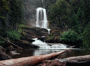
Baring, St. Mary, and Virginia Falls in Glacier NP
4.75.43 mi / 500 ft gainThis 5.4 mile out-and-back hike will take you to Baring, St. Mary, and Virginia Falls. Start your hike at the Sunrift Gorge parking area. Hike down the stairs on the south side of the road. Here you’ll see the trailhead for Baring Falls. Descend until you reach the Baring Falls/Sun Point junc...Read more -
Browning, Montana
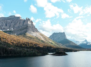
Hike to Sun Point
5.01.6 mi / 250 ft gainWith panoramic views of St. Mary Lake and it’s surrounding peaks, Sun Point is the perfect spot to chill/relax in Glacier National Park. It can be reached via the Sun Point Nature Trail or the Sun Point picnic area.To reach Sun Point via the nature trail, start at Sunrift Gorge parking area. Cl...Read more -
Browning, Montana
Swiftcurrent Lookout
16.68 mi / 4491 ft gainTake this beautiful hike up Swiftcurrent Mountain to the Fire Lookout (8436 ft). The hike is 7.1 miles one-way from from the Swiftcurrent Inn parking lot trailhead. The elevation gain is 2,307 feet. The First 3 miles or so are a flat hike where you'll pass by several famous lakes and gain only ...Read more -
Browning, Montana
Redrock Falls
4.53.73 mi / 100 ft gainThe hike to Redrock Falls begins at the Swiftcurrent Pass Trailhead in the Many Glacier area of Glacier National Park. The trailhead is located at the western end of the Swiftcurrent Motor Inn parking lot. From the trailhead, head straight toward Swiftcurrent Pass and Redrock Falls. At approxi...Read more -
Browning, Montana
Iceberg Lake
4.99.7 mi / 1200 ft gainThe 9.7-mile out-and-back trail starts in the Many Glacier area of Glacier National Park, near the Swiftcurrent Motor Inn. The trailhead is easy to find at the northwest corner of the Inn area and the trail is well marked the whole way. The trail heads northwest almost the entire time except for ...Read more -
Glacier County, Montana
Ptarmigan Falls
5.05.11 mi / 768 ft gain...The hike to Ptarmigan Falls begins next to the cabins near the Swiftcurrent Motor Inn. There’s enough parking for about 10-16 vehicles in the lot next to the trailhead. This is a heavily trafficked area, so extra parking is available in front of the Swiftcurrent Motor Inn. This is where I park...Read more

