Bigfork, Montana
Looking for the best photography in Bigfork? We've got you covered with the top trails, trips, hiking, backpacking, camping and more around Bigfork. The detailed guides, photos, and reviews are all submitted by the Outbound community.
Top Photography Spots in and near Bigfork
-
Browning, Montana
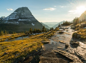
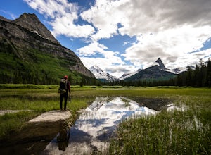
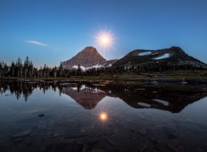
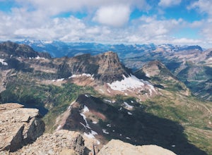
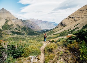
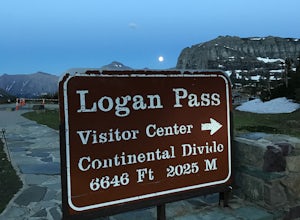
Photography on Logan Pass
5.0Disclaimer: Glacier National Park has closed any off-trail activity in this area. The majority of the photos can be taken on-trail. Please be sure to adhere to the park's policy.With a short window of opportunity for visiting, Logan Pass offers a wealth of photographic options. As the winter sno...Read more -
Browning, Montana
Gunsight Pass to Gunsight Lake Campsite
5.013.06 mi / 1667 ft gainHow to Get There: Get your backcountry pass at the St. Mary visitor center and then head over to the hike, which begins from the Jackson Glacier Overlook, located 12.6 miles west of the center on the Going-to-Sun-Road. The Hike: The first mile of the hike is a downhill, and then the trail is ...Read more -
Browning, Montana
Hidden Lake Overlook
5.02.83 miThe trail starts at the Logan Pass Visitor Center, which is right in the middle of Going-To-The-Sun Road. It can be very busy during the middle of the day, but early morning and early evening will have less of a crowd. It's a pretty short hike in a beautiful wide open alpine meadow. We were gree...Read more -
Browning, Montana
Reynolds Mountain
4.511 mi / 2500 ft gainReynolds Mountain stands high above the Logan Pass Visitors Center. Because of it's easy location, be prepared to get caught in the heavy rush of tourists on the way up. Though most will not be going to Reynolds Mountain, you will still need to "wade" through heavy tourism to reach the trail he...Read more -
Browning, Montana
Summit Reynolds Mountain via the North Face Ascent Route
7.9 mi / 2500 ft gainMt. Reynolds is a premier peak in Glacier National Park (GNP). The views from the beginning to the summit are incredible all the way around. Reynolds offers those who are starting to climb an introductory climb with little technicality and a reward that is well earned at the top. GNP requires an ...Read more -
Browning, Montana
Piegan Mountain
5.05 mi / 3000 ft gainStart this hike at the Lunch Creek parking lot just over Logan Pass. Follow the climber's trail which will lead you above a waterfall and into Lunch Creek Basin. Looking straight ahead, you will see Pollock Mountain. Continue to your right for the peak approach (if you go all the way to the right...Read more -
48.696704,-113.718345
Grinnell Glacier Overlook via Highline Trail
4.015.23 mi / 1000 ft gainThere are two ways to get to this trail. Preferred route: Start the Highline Trail at Logan Pass. Hike 7.5 miles on a pleasantly gradual trail to get to the overlook trail. Alternate route: You can instead start at The Loop (shuttle stop), hike up to the Granite Park Chalet, and then hike an addi...Read more -
West Glacier, Montana
Granite Park Chalet via Highline Trail
4.511.49 mi / 1950 ft gainThe trailhead for the Highline Trail is located near the west side of Logan's Pass. Parking is limited at the Pass so arriving early to guarantee a spot, or taking a park shuttle (no fee) is suggested. The shuttles run consistently during the day at different locations throughout the Park. Howeve...Read more -
Browning, Montana
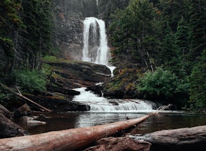
Baring, St. Mary, and Virginia Falls in Glacier NP
4.75.43 mi / 500 ft gainThis 5.4 mile out-and-back hike will take you to Baring, St. Mary, and Virginia Falls. Start your hike at the Sunrift Gorge parking area. Hike down the stairs on the south side of the road. Here you’ll see the trailhead for Baring Falls. Descend until you reach the Baring Falls/Sun Point junc...Read more -
Browning, Montana
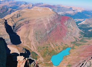
Hike Mount Siyeh
5.08.45 mi / 4209 ft gainOnce the Going-To-The-Sun Road has opened fully, this massive peak is accessible by driving to Siyeh Bend on the east side of the Logan Pass Visitors Center. Plan on a sun up to sun down adventure. Choose a sunny summer day and head up to hit the trail! Park at Siyeh Bend, and start on the Pie...Read more -
Browning, Montana
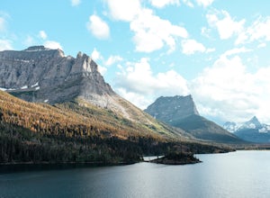
Hike to Sun Point
5.01.6 mi / 250 ft gainWith panoramic views of St. Mary Lake and it’s surrounding peaks, Sun Point is the perfect spot to chill/relax in Glacier National Park. It can be reached via the Sun Point Nature Trail or the Sun Point picnic area.To reach Sun Point via the nature trail, start at Sunrift Gorge parking area. Cl...Read more -
Seeley Lake, Montana
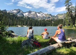
Hike to Crescent Lake
9 mi / 1500 ft gainAn hour drive north of the town of Seeley Lake Montana is the Glacier Lake Trailhead and the starting point for your hike. Glacier Lake Trailhead is a popular trailhead, and the parking lot can fill up quickly on hot summer weekends since it provides access to trails which lead to three different...Read more -
Glacier County, Montana
Triple Divide Pass Trail to Red Eagle Lake
29.22 mi / 5499 ft gainA couple of notes to keep in mind before you start... this is a loop that takes you to a different part of the park so you will either need two vehicles (one for the pickup spot and one to take you to the trailhead) or you will need to hitchhike back to you drop off vehicle. Also you will need to...Read more -
Charlo, Montana
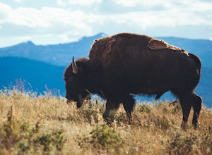
Photograph The National Bison Range
5.0The Bison Range is open year round, however, the road is mostly closed in the winter months, so the best times are the spring, summer or fall.The Range was established in 1908 to help preserve a natural population of the nearly extinct animal. Today, between 350-500 bison roam the hills.You will...Read more -
West Glacier, Montana
Waterton Lakes via Packers Roost
5.022.15 mi / 4596 ft gainDay 1: This gorgeous backpacking adventure begins at the Packer's Roost trailhead, which is almost halfway between West and East Glacier on the Going-to-the-Sun Road. This trailhead is marked on the highway before you get to the "Loop." It's a quick left turn so keep your eyes peeled as you pass ...Read more -
West Glacier, Montana
Bike Glacier's Going to the Sun Road
5.016 mi / 2460 ft gainBike up the road towards Logan Pass. Make sure to stay alert for traffic coming up and down the road. Helmets and flashing red, rear lights are required when biking at night in Glacier National Park. A forward facing light is also recommended to see gravel and other obstacles. Make sure to keep e...Read more

