Red Wing, Minnesota
Top Spots in and near Red Wing
-
Minneapolis, Minnesota
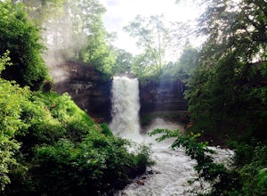
Minnehaha Falls
4.10.73 mi / 128 ft gainNamed after a legendary Native American princess, Minnehaha Creek cascades over a cliff in these dramatic falls just minutes from the downtowns of both Minneapolis and St. Paul. A favorite place for summer picnickers, the falls are beautiful all year long. They are strongest in June after the Spr...Read more -
Saint Paul, Minnesota
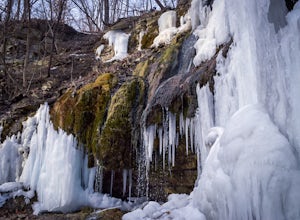
Shadow Falls
4.00.58 mi / 256 ft gainThis easy and accessible hike takes you to a nice little waterfall within a ravine. From the parking lot, walk over to the River Overlook, then continue along the trail to the falls. The trail will drop you down to the base of the falls, where you can walk behind the curtain of water. The flow is...Read more -
Saint Charles, Minnesota
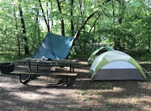
Camp at Whitewater State Park
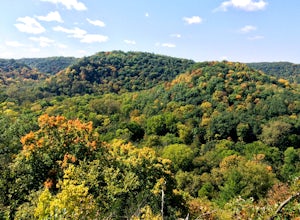
Whitewater State Park is at the cusp of bluff country, straddling the Whitewater River, a small tributary of the Mississippi. Spring and Autumn are the best times to visit. In Spring you'll hit wildflower season when the forest glades in the depths of the valley folds are literally carpeted with ...Read more -
Bloomington, Minnesota
Explore the Minnesota River Bottoms
4.3The "River Bottoms" is an unofficial network of single track, double track and service roads just south of Minneapolis along the Minnesota River flood plane. Flat, fast and easy to navigate, the 11-mile trail system is a popular spot for mountain bikers, trail runners and hikers looking to do lon...Read more -
Minnesota City, Minnesota
Climb Mt. Charity at John A. Latsch State Park
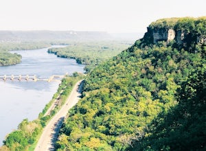
5.01 mi / 500 ft gainJohn A. Latsh State Park is directly off of Hwy. 61 a few miles north of Winona. Begin your hike at the parking lot, following the signs for the Riverview Trail. The hike itself is a short, but steep climb on a series of steps up the side of the Mt. Charity Bluff. Winding through verdant valley f...Read more -
Minneapolis, Minnesota
Run Along the Mississippi River Flats
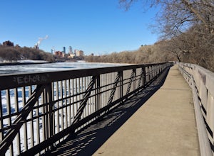
4.02.5 miThis loop takes you from the Franklin Bridge to the Washington Avenue Bridge, crossing through campus, in between. Start at the Franklin Bridge (southeast end), walk down the stairs, and then take the elevated walkaway across the river, heading north.The middle section of the loop takes you past ...Read more -
Bloomington, Minnesota
Walk the Prairie Loop at Richardson Nature Center
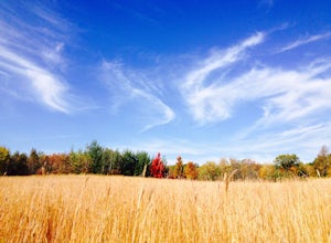
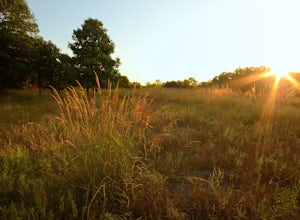
5.00.8 mi / 70 ft gainBegin your hike behind the Visitor's Center and follow the path to the left towards the Prairie Loop Trail. The path quickly breaks out of the woods into an open prairie, looping through the tall grasses and burr oaks. The pond with its boardwalk is a great place to see Canada Geese, Tundra Swans...Read more -
Colfax, Wisconsin
Hike the Hoffman Hills Outer Loop
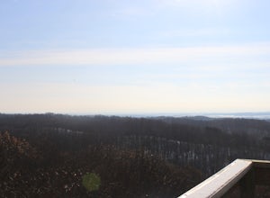
4.2 mi / 577 ft gainHoffman offers convenient parking; there is one large lot, and one for overflow. There are trails that are easy, moderate, and difficult. All of the trails however, are uphill. Most of them end at the viewing tower, which showcases Wisconsin, and the beauty that goes along with it. A very rewa...Read more -
Minneapolis, Minnesota
Run the Lake Harriet Loop
5.03 mi / 10 ft gainThis easily accessible loop takes you on a moderate walk around Lake Harriet, a popular recreational site for cyclers, walkers, runners, and families. You can cycle this trail in the clockwise direction, or opt to walk. Be sure to explore the surrounding park and gardens, afterwards!Read more -
Marine on Saint Croix, Minnesota
Riverside Trail Loop
5.02.66 mi / 272 ft gainFrom the Visitor Center Parking lot follow the Riverside Trail along the side of the lot and down the main road. You will go under the bridge and while walking next to the road you can see great views of Lake Alice. When you reach the bottom of the hill, turn right to walk alongside the lake. On ...Read more -
Marine on Saint Croix, Minnesota
Camp at William O'Brien State Park
Roughly an hour north of the Minneapolis-Saint Paul Metro, is William O’Brien State Park. Located on the Saint Croix River, this park is a great place for just getting away from the city lights and into nature. The park has two campgrounds, which are the Savanna and Riverway campgrounds. Eac...Read more -
Arden Hills, Minnesota
Bike the Rice Creek North Regional Trail
3.013.8 miThe Rice Creek North Regional Trail is 13.8 miles in total, but can be broken up into two different sections (connected by a 3.4 mile bike on county roads). The main trailhead is at 35W and County Road I. You will find the parking lot just after exiting on County Road I. This is the southern segm...Read more

