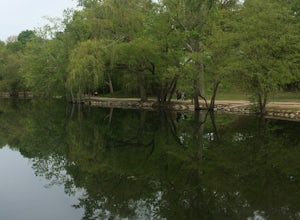
Princeton, Massachusetts
Top Spots in and near Princeton
-
Jaffrey, New Hampshire
Mount Monadnock via White Dot Trail
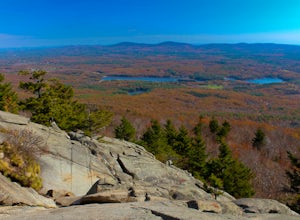
4.43.46 mi / 1699 ft gainMonadnock State Park is located in and around the 3,165-ft. Mount Monadnock. Mount Monadnock is crisscrossed by many miles of well-maintained hiking trails. The popular White Dot Trail (2.2 miles) is the shortest but steepest ascent to the summit, accessible from the Monadnock State Park headquar...Read more -
Douglas, Massachusetts
Hike the Coffeehouse Loop, Douglas State Forest
3.02.2 mi / 500 ft gainDouglas State Forest is located off of Rte 16 in south central Massachusetts. To access trails and the lake, head to the parking area on Wallum Lake Park Road. From the parking lot, you can access the Coffeehouse Loop Trail, as well as a few other shorter trails by the lake. The Coffeehouse Loop ...Read more -
Erving, Massachusetts
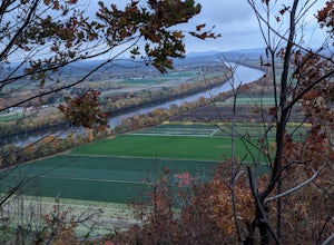
Rattlesnake Loop to Red Trail
1.97 mi / 676 ft gainRattlesnake Loop to Red Trail is a loop trail that provides a good opportunity to view wildlife located near Erving, Massachusetts.Read more -
Jaffrey, New Hampshire
Summit Mt. Monadnock via Marlboro Trail
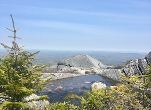
5.04 mi / 2300 ft gainStart at the Marlboro Trailhead (you can enter this in Google maps) off Shaker Road. There's parking and porta-potty bathrooms. The trail is well-marked with white dashes/M marks all the way up. Once on trail, the initial 800 ft climb is through forested terrain with a few brooks and streams alon...Read more -
Wellesley, Massachusetts
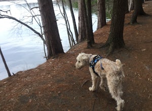
Walk along Lake Waban
3 miNote: The campus is currently closed due to COVID-19 restrictions. This is a lake on Wellesley College Campus. It is easy to get to from just about any direction. Just park and walk toward the lake, and there are paths that will take you there. The easiest place to park (pinned on the map) is ju...Read more -
Blackstone, Massachusetts
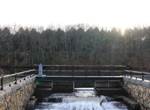
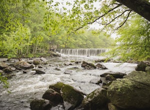
Hike the Blackstone Gorge Trail
5.00.7 mi / 72 ft gainPark at the lot at the corner of Staples Lane and County Street. From here you can access the Blackstone Gorge Trail. Dogs are allowed on leash, and you can enjoy various paths along the river or through the forest. At multiple points you can find yourself looking down at the Blackstone River fro...Read more -
Deerfield, Massachusetts
South Sugarloaf Trail
1.48 mi / 404 ft gainSouth Sugarloaf Trail is a loop trail that takes you by a river located near South Deerfield, Massachusetts.Read more -
Andover, Massachusetts
Deer Jump Reservation Loop
5.02.09 mi / 171 ft gainDeer Jump Reservation Loop is a loop trail that takes you by a river located near Andover, Massachusetts.Read more -
Andover, Massachusetts
Haggetts Rail Trail to Haggetts Pond
5.02.08 mi / 16 ft gainHaggetts Rail Trail to Haggetts Pond is an out-and-back trail that takes you through a nice forest located near Lawrence, Massachusetts.Read more -
Bedford, New Hampshire
Pulpit Rock Conservation Area Loop
4.82.4 mi / 0 ft gainWe began our hike at Kennard Trailhead, which is easy to miss if you aren’t looking for it. The approximate GPS address is 596 New Boston Road, Bedford, NH, though in reality the parking area is about 0.2 miles west of the junction of New Boston Rd and Esther Drive.These trails are very well mai...Read more -
North Smithfield, Rhode Island
Hike the Fort Wildlife Refuge
1 miThe parking area is about 50 yards down the dirt driveway on your right. Take care in the spring, as the parking lot can become a mud pit! This wildlife refuge is a series of loops which lead to three different ponds. These directions are for the 'Pond One' loop. When you start on the trail, sta...Read more -
Londonderry, New Hampshire
Kendall Pond Yellow and Blue Trails
1.18 mi / 223 ft gainKendall Pond Yellow and Blue Trails is a loop trail that takes you through a nice forest located near Londonderry, New Hampshire.Read more -
Hampden, Massachusetts
Goat Rock Trail
2.67 mi / 659 ft gainGoat Rock Trail is an out-and-back trail where you may see beautiful wildflowers located near Hampden, Massachusetts.Read more -
Medford, Massachusetts
Hike Southern Middlesex Fells Loop
4.73.5 mi / 756 ft gainPark in the parking area near Bellevue Pond. There are multiple entrances to the reservation (some closer to the reservoir itself than others). I have spent days in there hiking around and never seeing the water and there are days when I just hiked right in to the water and sat and enjoyed it. Th...Read more -
Boston, Massachusetts
Run the Arnold Arboretum Trail
5.02.6 mi / 150 ft gainPark in the lot off of Arborway to access the trail. This place is gorgeous year round. The winter offers a quiet solitude, fall boasts bright colors, spring is the most beautiful as the flowers start to burst and cherry blossoms take over, and summer is overwhelmingly green. There are dozens of ...Read more -
Boston, Massachusetts
Run the Jamaica Pond and Victorian Jamaica Plain Loop
5.01.5 mi / 95 ft gainPark in the Jamaica Pond parking area. You can go either direction on this loop trail, which is highly trafficked and dog-friendly. Keep a lookout for (and a respectful distance from) the wildlife that live here. The loop around Jamaica Pond itself is 1.5 miles. The best part about running in thi...Read more

