Pembroke, Massachusetts
Top Spots in and near Pembroke
-
Ashland, Massachusetts
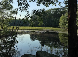
Hike the Ashland Reservoir Trail
5.03.2 mi / 68 ft gainPark in the lot on State Park Road (see map) to access the trail. It's a popular trail that is dog-friendly. Pay attention to the trail as at parts it is not well marked.Read more -
Dartmouth, Massachusetts
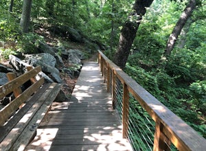
Hike Frank Knowles–Little River Reserve Trail
4.64 mi / 295 ft gainFrank Knowles-Little River Reserve contains nearly 9 miles of hiking trails to explore. Start off by parking in the white sea shell parking lot. From there you will find the trail marked by a DNRT sign . My group and I walked along the red/boardwalk trail which features a number of boardwalks lea...Read more -
Concord, Massachusetts
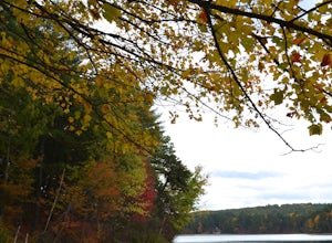
Hike around Walden Pond
4.51.69 mi / 45 ft gainPark in the lot ($8 for MA residents) by Walden Pond to access the trail, and head out either direction on the loop around the pond. Trail is accessible from April-October.Read more -
Providence, Rhode Island
Neutaconkanut Loop
5.01.49 mi / 171 ft gainTo enter the park, you first have to go through a field and past a baseball park. Next, you will see a high slope, you can either enter the trails through here or the stairs at the side. Some of the trails are overgrown and may have ticks or poison ivy so be careful. This place is good for kids a...Read more -
Blackstone, Massachusetts
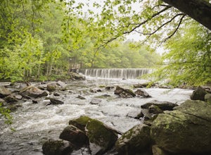
Hike the Blackstone Gorge Trail
5.00.7 mi / 72 ft gainPark at the lot at the corner of Staples Lane and County Street. From here you can access the Blackstone Gorge Trail. Dogs are allowed on leash, and you can enjoy various paths along the river or through the forest. At multiple points you can find yourself looking down at the Blackstone River fro...Read more -
North Smithfield, Rhode Island
Hike the Fort Wildlife Refuge
1 miThe parking area is about 50 yards down the dirt driveway on your right. Take care in the spring, as the parking lot can become a mud pit! This wildlife refuge is a series of loops which lead to three different ponds. These directions are for the 'Pond One' loop. When you start on the trail, sta...Read more -
Truro, Massachusetts
Hike the Pamet Area Trail
1.9 miPamet Area Trail is in Truro, towards the ocean within the Cape Cod National Seashore. As we were driving to the parking area it felt like it was wrong, as it often does. There was a dead end and school signs, which are for the N.E.E.D. Academy (apparently also doubles as a hostel during the su...Read more -
Marlborough, Massachusetts
Hemingway Street Trail
1.73 mi / 197 ft gainHemingway Street Trail is an out-and-back trail that provides a good opportunity to view wildlife located near Marlborough, Massachusetts.Read more -
Westport, Massachusetts
Hike Gooseberry Island
1.5 mi / 36 ft gainBegin an hour before sunset at the intersection between West Beach and East Beach Road. The intersecting roads will lead you to a paved causeway over the ocean. Waves typically clash on either side of you as you drive over the ocean. There is a free parking lot once you reach the opening. To reac...Read more -
Acton, Massachusetts
Hike the Pratt's Brook Conservation Area Loop
4.01.5 mi / 85 ft gainPark in the small parking area right before the trailhead. *Notice this parking area is small and only fits about 3-4 cars so prepare to find street parking on a busy day. You can punch in the coordinates to a GPS if you need help finding it: 42.4545482, -71.4358192. The loop is very diverse wit...Read more -
Ipswich, Massachusetts
Photograph Castle Hill
4.0Castle Hill refers to either a 165-acre drumlin surrounded by sea and salt marsh or to the mansion that sits on the hill. Both are part of the 2,100-acre Crane Estate located on Argilla Road in Ipswich, Massachusetts.Take a walk through the public garden or down to the beach. Plenty of beautiful ...Read more -
Harwich, Massachusetts
West Reservoir
5.02.65 mi / 59 ft gainWest Reservoir is a loop trail that takes you by a lake located near Harwich, Massachusetts.Read more -
West Tisbury, Massachusetts
Photograph Lambert's Cove
While there are a number of beaches on Martha's Vineyard, many of the more well known and popular ones can easily get over crowded. The less widely known Lambert's Cove, however, is a gem that will not disappoint. To access Lambert's Cove in the summer season, you'll need to get or borrow a pas...Read more -
Andover, Massachusetts
Haggetts Rail Trail to Haggetts Pond
5.02.08 mi / 16 ft gainHaggetts Rail Trail to Haggetts Pond is an out-and-back trail that takes you through a nice forest located near Lawrence, Massachusetts.Read more -
Eastham, Massachusetts
Visit Nauset Lighthouse
4.0Nauset Light, officially Nauset Beach Light, is a restored lighthouse on the Cape Cod National Seashore near Eastham, Massachusetts, erected in 1923 using the 1877 tower that was moved here from the Chatham Light. It was moved to Eastham in 1923 to replace the Three Sisters of Nauset, three smal...Read more -
Newbury, Massachusetts
Hellcat Dunes Loop
4.50.98 mi / 20 ft gainPark in the parking area off of Refuge Rd. Take the Dunes Trail, a boardwalk path for the ~1-mile loop. Enjoy the views from an observation deck on three-story-high dunes. This trail is accessible from April-October.Read more


