Pembroke, Massachusetts
Looking for the best hiking in Pembroke? We've got you covered with the top trails, trips, hiking, backpacking, camping and more around Pembroke. The detailed guides, photos, and reviews are all submitted by the Outbound community.
Top Hiking Spots in and near Pembroke
-
North Smithfield, Rhode Island
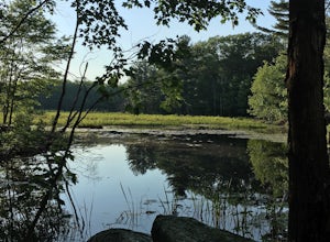
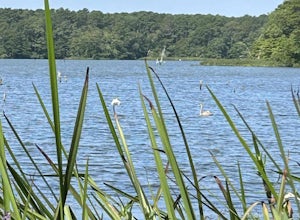
Hike the Fort Wildlife Refuge
1 miThe parking area is about 50 yards down the dirt driveway on your right. Take care in the spring, as the parking lot can become a mud pit! This wildlife refuge is a series of loops which lead to three different ponds. These directions are for the 'Pond One' loop. When you start on the trail, sta...Read more -
Truro, Massachusetts
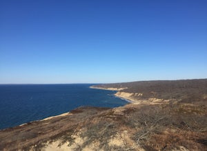
Hike the Pamet Area Trail
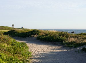
1.9 miPamet Area Trail is in Truro, towards the ocean within the Cape Cod National Seashore. As we were driving to the parking area it felt like it was wrong, as it often does. There was a dead end and school signs, which are for the N.E.E.D. Academy (apparently also doubles as a hostel during the su...Read more -
Marlborough, Massachusetts
Hemingway Street Trail
1.73 mi / 197 ft gainHemingway Street Trail is an out-and-back trail that provides a good opportunity to view wildlife located near Marlborough, Massachusetts.Read more -
Westport, Massachusetts
Hike Gooseberry Island
1.5 mi / 36 ft gainBegin an hour before sunset at the intersection between West Beach and East Beach Road. The intersecting roads will lead you to a paved causeway over the ocean. Waves typically clash on either side of you as you drive over the ocean. There is a free parking lot once you reach the opening. To reac...Read more -
Acton, Massachusetts
Hike the Pratt's Brook Conservation Area Loop
4.01.5 mi / 85 ft gainPark in the small parking area right before the trailhead. *Notice this parking area is small and only fits about 3-4 cars so prepare to find street parking on a busy day. You can punch in the coordinates to a GPS if you need help finding it: 42.4545482, -71.4358192. The loop is very diverse wit...Read more -
Harwich, Massachusetts
West Reservoir
5.02.65 mi / 59 ft gainWest Reservoir is a loop trail that takes you by a lake located near Harwich, Massachusetts.Read more -
Andover, Massachusetts
Haggetts Rail Trail to Haggetts Pond
5.02.08 mi / 16 ft gainHaggetts Rail Trail to Haggetts Pond is an out-and-back trail that takes you through a nice forest located near Lawrence, Massachusetts.Read more -
Newbury, Massachusetts
Hellcat Dunes Loop
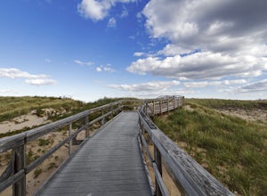
4.50.98 mi / 20 ft gainPark in the parking area off of Refuge Rd. Take the Dunes Trail, a boardwalk path for the ~1-mile loop. Enjoy the views from an observation deck on three-story-high dunes. This trail is accessible from April-October.Read more -
Middletown, Rhode Island
Birdwatch at Sachuest Point
1.5 miA trip to Aquidneck Island would not be complete without a quick walk around Sachuest Point. I highly recommend this hike at sunrise, but any time of the day (or year) is great! This nature preserve is home to a large population of tourist-friendly deer, and is visited every winter by at least tw...Read more -
Sutton, Massachusetts
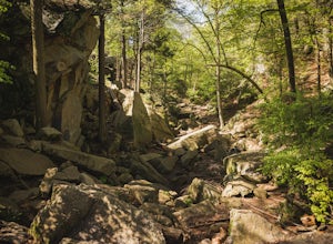
Hike the Purgatory Chasm Trail
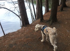
4.71 mi / 115 ft gainFor this 1-mile hike, you can park at the Purgatory Chasm Visitor Center. From there hit the trail and explore the unusual gap between the tall granite walls, which might be adorned with climbers. Great for all ages and dogs are welcome too. The trail is open March-November.Read more -
Newport, Rhode Island
Take a Stroll on the Newport Cliff Walk
4.63.5 miThe 3.5 mile Cliff Walk is a National Recreation Trail in a National Historic District. I chose to start at the western end of Easton's or First Beach at Memorial Blvd. and walk south. The first two-thirds of the walk is very easy walking conditions. Parts of the southern half of the walk are...Read more -
Andover, Massachusetts
Deer Jump Reservation Loop
5.02.09 mi / 171 ft gainDeer Jump Reservation Loop is a loop trail that takes you by a river located near Andover, Massachusetts.Read more -
Chilmark, Massachusetts
Menemsha Hills Reservation Loop
5.02.98 mi / 344 ft gainGPS service in densely wooded areas on the Vineyard is hard to come by, so plugging in Menemsha Hills Reservation before getting on the road is advised. Traveling down N Road, you'll find an unmarked gravel road located between Turtle Cove and Trustees Lane. A short 400 meter drive will take you ...Read more -
Douglas, Massachusetts
Hike the Coffeehouse Loop, Douglas State Forest
3.02.2 mi / 500 ft gainDouglas State Forest is located off of Rte 16 in south central Massachusetts. To access trails and the lake, head to the parking area on Wallum Lake Park Road. From the parking lot, you can access the Coffeehouse Loop Trail, as well as a few other shorter trails by the lake. The Coffeehouse Loop ...Read more -
Newbury, Massachusetts
Explore the Parker River National Wildlife Refuge
4.66.5 miLocated just north of Boston, Parker River National Wildlife Refuge was established in 1941 to provide feeding, resting, and nesting habitat for migratory birds. The refuge lands are both scenic and diverse, with approximately 4700 acres of habitats including sandy beach and dune, cranberry bog, ...Read more

