New Marlborough, Massachusetts
Looking for the best hiking in New Marlborough? We've got you covered with the top trails, trips, hiking, backpacking, camping and more around New Marlborough. The detailed guides, photos, and reviews are all submitted by the Outbound community.
Top Hiking Spots in and near New Marlborough
-
Haines Falls, New York
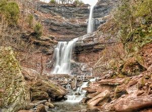
Kaaterskill Falls
4.52.57 mi / 719 ft gainAlthough this is a super short hike, it is definitely a tough one! The quick, steep climb is totally worth it once you reach the 260 foot cascade and pool at the end. Hike along the trail, hugging Spruce Creek all the way to the falls. If you hike in the spring, the creek and the falls will be ra...Read more -
Elka Park, New York
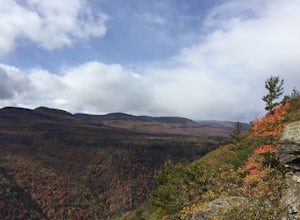
Hike to Huckleberry Point
4.54.5 mi / 644 ft gainThis is a 4.5 mile hike that is great for hikers of all skill levels. Because it is short and not overly difficult, beginners will enjoy this hike. There are some steep sections that will get your heart pumping, though, and a stunning payoff is waiting for you at the end.From the trailhead, follo...Read more -
Elka Park, New York
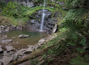
Hike to Plattekill Falls
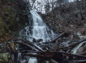
0.5 mi / 137 ft gainJust outside of Elka Park, New York, Plattekill Falls is accessible from Albany and New York City alike. This is a great hike for families and all skill levels. The falls are spectacular year-round, but the best time to visit is in the spring. From the trailhead, walk left past the red house unt...Read more -
New Fairfield, Connecticut
Hike Squantz Pond Trail
2.2 mi / 321 ft gainThe hike is rated as moderate and is accessible all year round. While it’s accessible during all seasons, the sights of the leaves changing colors in the autumn makes it an exceptionally beautiful time to do this hike. You’ll definitely want to snap some photos along the way of the foliage reflec...Read more -
Meriden, Connecticut
Hike the Metacomet, Blue, and Yellow Loop
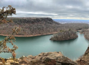
5.04.5 mi / 976 ft gainStart from the Castle Craig road entrance. Walk until you're greeted by a beautiful reservoir. You'll notice the strange but beautiful Mine Island in the middle of all this. You'll also notice markers for White Trails and Yellow Trails. The White Trail is an easier/wider trail. The Yellow Trail C...Read more -
Elka Park, New York
Hike Twin Mountain
6 mi / 1586 ft gainThe DEC Parking lot, is located at the very end of a dead end, along Prediger Rd. Start at the trail head to the right of the trail kiosk and sign in sheet. The trail starts out very easy going as you approach the base of Twin. At mile 0.25, you’ll hit a junction where you’ll turn RIGHT towards T...Read more -
Elka Park, New York
Hike Indian Head Summit via Jimmy Dolan Notch Overlook
4.9 mi / 1512 ft gainThe view from the summit of this hike is incredible. Bring a sack lunch and a camera - you'll want to stay for a while! This trail is open for use year-round and provides great snowshoeing in the winter and fabulous wildflowers in the spring and summer. This is also a great location for birding!Read more -
Elka Park, New York
Backpack the Eastern Half of Devil's Path in the Catskill Mountains
5.014 mi / 3900 ft gainThe Eastern half of Devil's Path has four major summits: Indian Head, Twin, Sugarloaf and Plateau. Each summit is a straight climb up and down, then back up to as much as 3,900 ft. There are some sparse sections of level ground, but most is a steep descent uphill or steep slide downhill. Your ...Read more -
Elka Park, New York
Backpack Devil's Path in the Catskills
24.2 mi / 9000 ft gainDevil's Path is roughly more than 24 miles long, althought it feels like an eternity of milage. Going thru the summits of Indian head, Twin, Sugarloaf, Plateau, Hunter, and Westkill Mountains.Its brutal. Its painful, Its unique. Be prepared for anything and everything. You will encounter wild lif...Read more -
Glastonbury, Connecticut
Hike the Cotton Hollow Nature Preserve
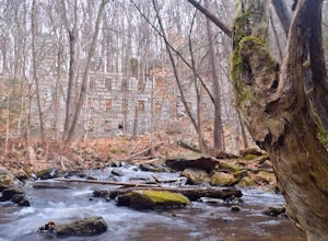
5.03 miThere are two parking locations for Cotton Hollow, the location tagged in the directions is the shortest hike to the old gun powder mill. Suggestions when it comes to exploring the preserve are to stay on the trails, know your limits, and enjoy! There are swimming holes along the river, but swim ...Read more -
Cheshire, Connecticut
Hike to Roaring Brook Falls
1.2 mi / 377 ft gainArriving to the falls, parking is residential but don't worry everyone is friendly. Starting off the hike you will walk past a cool pond where you may be able to see some wildlife. Continuing on, you will follow the marked trail where it will take you further into the woods while gaining elevatio...Read more -
Meriden, Connecticut
Higby Mountain Trail
2.11 mi / 486 ft gainThe popular route for this hike is to park your car at the base of the trail which is located right before merging onto 91-S in Middlefield, CT. The parking lot does seem to get crowded mid-day, especially if the weather is nice! The beginning of the hike is mostly flatter land and an incline w...Read more -
Cropseyville, New York
Hike Dickinson Hill Fire Tower
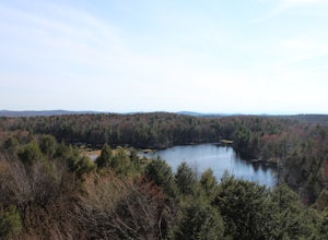
4.53 mi / 200 ft gainOnce you drive onto N. Long Pond Road you will follow it appproximately 1.5 miles to the end. From the parking you can take the short walk back on the road to the start of the trail. The trail is actually a rough Fire Tower Road. You will follow this for about 1.3 miles. Here you will see a se...Read more -
Elka Park, New York
Camp at Sugarloaf Mountain in the Catskills
4.06 mi / 1500 ft gainBegin by parking at the end of Mink Road in Elka Park (GPS:N42 08.593, W74 09.479). It will be a .7 mile hike to camp. Follow the rocky woods road to the junction where there is a SPRING sign. Continuing straight will take you to the water source. If you do not need water, turn left when you see ...Read more -
Woodstock, New York
Sugarloaf Mountain via Blue Trail
6.54 mi / 2297 ft gainSugarloaf Mountain, is one the 35 highest peaks in New York's Catskills at 3806 ft. There are many ways to approach this peak, and this is an out-and-back hike via Mink Hollow. The parking area is located at the end of Milk Hollow Rd (42.10405386879072, -74.17148500019927). From here, get on the...Read more -
Middletown, Connecticut
Explore Wadsworth Falls
5.00.25 miWhen it comes to exploring Wadsworth Falls its ease of access couldn't be better. As soon as you pull into the parking lot you hear the falls roaring. Take the quick walk to see the picturesque scenery.Facts about Wadsworth Falls:Height: 25ft tall and doubled in width Rock: Hampden Basalt -the ro...Read more

