Lee, Massachusetts
Looking for the best hiking in Lee? We've got you covered with the top trails, trips, hiking, backpacking, camping and more around Lee. The detailed guides, photos, and reviews are all submitted by the Outbound community.
Top Hiking Spots in and near Lee
-
Elka Park, New York
Devil's Path in the Catskills
4.022.04 mi / 7733 ft gainDevil's Path is roughly more than 24 miles long, althought it feels like an eternity of milage. Going thru the summits of Indian head, Twin, Sugarloaf, Plateau, Hunter, and Westkill Mountains. Its brutal. Its painful, Its unique. Be prepared for anything and everything. You will encounter wild l...Read more -
Hampden, Massachusetts
Goat Rock Trail
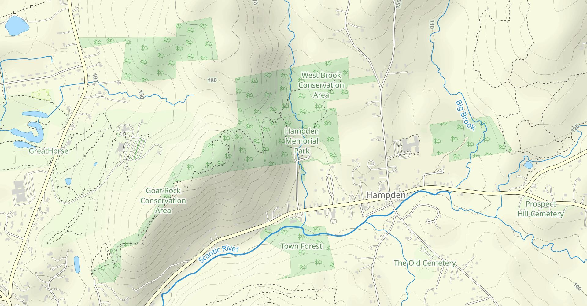
2.67 mi / 659 ft gainGoat Rock Trail is an out-and-back trail where you may see beautiful wildflowers located near Hampden, Massachusetts.Read more -
New Scotland, New York
Indian Ladder Trail
4.51.62 mi / 230 ft gainThere are many parking areas within the park. Park at the overlook parking. From here you head west following the wood fence. This is the Cliff Top trail. Approximately after walking 0.5 miles you will reach the stairs that will lead you to the base of the cliffs. This marks the start of the...Read more -
Erving, Massachusetts
Rattlesnake Loop to Red Trail
1.97 mi / 676 ft gainRattlesnake Loop to Red Trail is a loop trail that provides a good opportunity to view wildlife located near Erving, Massachusetts.Read more -
Niskayuna, New York
Lisha Kill Preserve Loop
4.52.22 mi / 200 ft gainThis 2.2 mile loop trail is lightly trafficked and great for all skill levels. Starting out the trail register, you will see signs from The Nature Conservancy which manages the preserve. Descending down a hill with lots of exposed tree roots, you will then cross over the meandering Lisha Kill and...Read more -
Woodstock, New York
Overlook Mountain Trail
4.53 mi / 1348 ft gainIt is important to know that parking for the head of this trail is great, located on Meads Mountain Rd in Woodstock NY. The trail is clearly a gravel road marked by Red trail markers, on a gradual inline up to the Hotel first, at the 2 mile mark, and then the Fire Tower is 0.5 miles further down...Read more -
Elka Park, New York
Camp at Sugarloaf Mountain in the Catskills
4.06 mi / 1500 ft gainBegin by parking at the end of Mink Road in Elka Park (GPS:N42 08.593, W74 09.479). It will be a .7 mile hike to camp. Follow the rocky woods road to the junction where there is a SPRING sign. Continuing straight will take you to the water source. If you do not need water, turn left when you see ...Read more -
Windham, New York
Escarpment Trail
21.97 mi / 5282 ft gainThe Escarpment Trail runs the length of the Catskill Escarpment. The Escarpment rises steeply from the valley below forming the northeast corner of the Catskill Mountains. It offers great views toward the Adirondack Mountains to the north and the great Hudson River to the east. The trail is moder...Read more -
Woodstock, New York
Sugarloaf Mountain via Blue Trail
6.54 mi / 2297 ft gainSugarloaf Mountain, is one the 35 highest peaks in New York's Catskills at 3806 ft. There are many ways to approach this peak, and this is an out-and-back hike via Mink Hollow. The parking area is located at the end of Milk Hollow Rd (42.10405386879072, -74.17148500019927). From here, get on the...Read more -
Shaftsbury, Vermont
Lake Shaftsbury Loop
4.01.39 mi / 160.98 ft gainLake Shaftsbury State Park is a small park in Southern Vermont between Bennington and Manchester. It is well-loved by locals as swimming spot in the summer, especially for families with kids. Less well known is the nature trail that meanders around the perimeter of the lake. While only a mile in...Read more -
Southington, Connecticut
Hike the Crescent Lake & Metacomet Trail Loop
4.02.4 mi / 269 ft gainThe hike to view Crescent Lake is peaceful. You can either walk through the woods where you will be blessed with natures finest birds and wildlife or you can take the trail along the lake edge. Both are similar distances and lead to the same hill at the end! Once you get to the top take a left on...Read more