Clinton, Massachusetts
Top Spots in and near Clinton
-
Bedford, New Hampshire
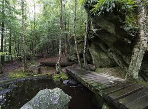
Pulpit Rock Conservation Area Loop
4.82.4 mi / 0 ft gainWe began our hike at Kennard Trailhead, which is easy to miss if you aren’t looking for it. The approximate GPS address is 596 New Boston Road, Bedford, NH, though in reality the parking area is about 0.2 miles west of the junction of New Boston Rd and Esther Drive.These trails are very well mai...Read more -
Jaffrey, New Hampshire
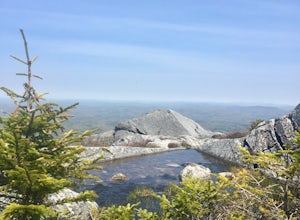
Summit Mt. Monadnock via Marlboro Trail
5.04 mi / 2300 ft gainStart at the Marlboro Trailhead (you can enter this in Google maps) off Shaker Road. There's parking and porta-potty bathrooms. The trail is well-marked with white dashes/M marks all the way up. Once on trail, the initial 800 ft climb is through forested terrain with a few brooks and streams alon...Read more -
Hull, Massachusetts
Explore the Bunkers at Fort Revere
Fort Revere is an 8-acre (3.2 ha) historic site situated on a small peninsula located in Hull, Massachusetts. It is situated on Telegraph Hill in Hull Village and contains the remains of two seacoast fortifications, one from the American Revolution and one that served 1898-1947. There are also a ...Read more -
Erving, Massachusetts
Rattlesnake Loop to Red Trail
1.97 mi / 676 ft gainRattlesnake Loop to Red Trail is a loop trail that provides a good opportunity to view wildlife located near Erving, Massachusetts.Read more -
Providence, Rhode Island
Neutaconkanut Loop
5.01.49 mi / 171 ft gainTo enter the park, you first have to go through a field and past a baseball park. Next, you will see a high slope, you can either enter the trails through here or the stairs at the side. Some of the trails are overgrown and may have ticks or poison ivy so be careful. This place is good for kids a...Read more -
Hampden, Massachusetts
Goat Rock Trail
2.67 mi / 659 ft gainGoat Rock Trail is an out-and-back trail where you may see beautiful wildflowers located near Hampden, Massachusetts.Read more -
Deerfield, Massachusetts
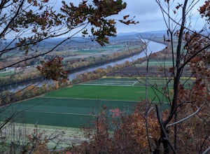
South Sugarloaf Trail
1.48 mi / 404 ft gainSouth Sugarloaf Trail is a loop trail that takes you by a river located near South Deerfield, Massachusetts.Read more -
Hanson, Massachusetts
Burrage Pond Indian Trail
5.03.39 mi / 194 ft gainBurrage Pond Indian Trail is an out-and-back trail where you may see beautiful wildflowers located near Hanson, Massachusetts.Read more -
Norwell, Massachusetts
Hike the Norris Reservation Loop
2.4 mi / 60 ft gainChoose from multiple trails in Norris that offer beautiful views of the the North river and marshland. Great spot to do some trail running through the woods and see the river too. There is also a pond a short distance from the parking lot that offers a great fishing spot with a picnic table nearb...Read more -
Ipswich, Massachusetts
Photograph Castle Hill
4.0Castle Hill refers to either a 165-acre drumlin surrounded by sea and salt marsh or to the mansion that sits on the hill. Both are part of the 2,100-acre Crane Estate located on Argilla Road in Ipswich, Massachusetts.Take a walk through the public garden or down to the beach. Plenty of beautiful ...Read more -
Chaplin, Connecticut
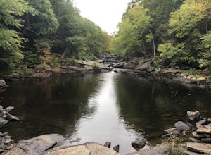
Hike to Diana's Pool
4.01.3 mi / 45 ft gainThe drive to Diana's Pool is worth it in an of itself, taking you through the backroads of Eastern Connecticut. To begin the hike just simply enter the woodland path and follow the trail. In order to go under the bridge just simply take the first left in the path and there will be a stream that f...Read more -
Holyoke, Massachusetts
Whiting Street Reservoir Loop
3.74 mi / 138 ft gainWhiting Street Reservoir Loop is a loop trail that takes you by a lake located near Holyoke, Massachusetts.Read more

