Brookline, Massachusetts
Top Spots in and near Brookline
-
Westminster, Massachusetts
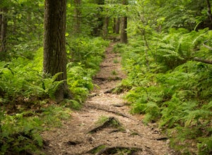
Summit Mt. Wachusett via the West Side Trail
5.01.2 mi / 750 ft gainSet your GPS to Wachusett Mountain ski area. Coming from Rt. 2 turn onto Mile Hill Rd and look for your first right to take Bolton Rd. Take this road all the way until it intersects with West Princeton Rd. Turn left. and drive down W Princeton Rd for 1.2 miles and there should be a small parkin...Read more -
Milford, New Hampshire
Granite Town Rail Trail
13.24 mi / 761 ft gainGranite Town Rail Trail is an out-and-back trail that takes you by a lake located near Milford, New Hampshire.Read more -
Ashburnham, Massachusetts
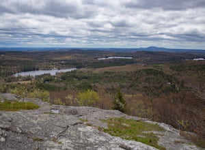
Summit Mount Watatic via the Wapack Trail
5.03 mi / 800 ft gainEntering Mount Watatic in your GPS will take you to Rindge State Road (119), continue about two minutes down the road past where the GPS tells you. on the Right hand side you will will see a sign for Mount Watatic Parking area or just enter in coordinates: 42.696796, -71.904521 You will begin the...Read more -
Bedford, New Hampshire
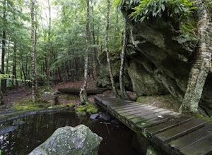
Pulpit Rock Conservation Area Loop
4.82.4 mi / 0 ft gainWe began our hike at Kennard Trailhead, which is easy to miss if you aren’t looking for it. The approximate GPS address is 596 New Boston Road, Bedford, NH, though in reality the parking area is about 0.2 miles west of the junction of New Boston Rd and Esther Drive.These trails are very well mai...Read more -
Provincetown, Massachusetts
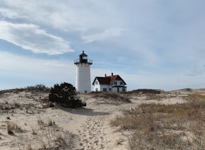
Explore Hatches Harbor and Race Point
5.03.3 miHatches Harbor & Race Point Lighthouse trail is not super long or difficult. Pretty straight forward, at least up to Hatches Harbor. There is a small parking lot that fits about six cars off Province Lands Rd. I think we had a good amount of rain leading up to that day and the trail reflect...Read more

