Savage, Maryland
Top Spots in and near Savage
-
Baltimore, Maryland
Hike Marshy Point Nature Center
5 miMarshy Point Nature Center is 25 minutes northeast of Baltimore in Middle River, Maryland. Convenient from I-95 with lots of parking and miles of interconnected trails, it's a perfect spot for a quick hike or an all-day excursion. The trails are mostly within the 1-2 mile range, but you can comb...Read more -
Dickerson, Maryland
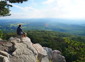
Hike the Sugarloaf Mountain Trail
4.76.05 mi / 1509 ft gainPark on Sugarloaf Mountain Drive (as indicated on the map below) to access the trail. It is open from March-November and is dog friendly.Read more -
Stevensville, Maryland
Bike or Run the Kent Island South Trail
12 mi / 20 ft gainRun, bike, walk or use any other means to travel this paved route from the Romacoke Pier Park up to the Metapeake Public Beach. 6 miles one way, this path is paved the entire way and stays off the main road. Public parking at either end and beautiful views of the bay. The path winds through fo...Read more -
Kingsville, Maryland
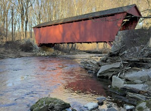
Hike the Jerusalem Village Trail & Jericho Covered Bridge Trail
4.3 mi / 341 ft gainThis is a moderately rated hike that features a river and quite a few hilly sections. The trail is known to be rather muddy, so be sure to wear appropriate waterproof footwear. Note that some sections of the trail are not well marked. You may want to review a map before embarking. There is park...Read more -
Wildlife Trail Parking Area, Maryland
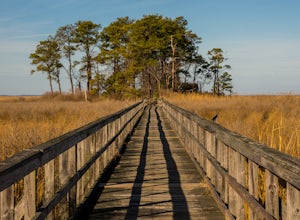
Explore Eastern Neck National Wildlife Refuge
1 miAlthough the trails at Eastern Neck may be small in size (the longest is just over a mile) they're big on sights. It's practically impossible to visit the refuge and not see wildlife, particularly the dizzying number of avian species here. Visit during the winter to see the majestic Tundra Swan, ...Read more -
Parkton, Maryland
Hike the Gunpowder Falls North and South Loop Trail
5.013.3 mi / 1180 ft gainPark in the lot on Bunker Hill Road and then continue a short ways to the trailhead (see map). There are no bridges for crossing the water so be prepared to pick your way across.Read more -
Parkton, Maryland
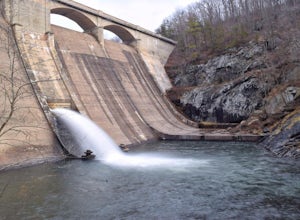
Photograph Prettyboy Dam
4.0Make sure you park in the designated spots located above the Dam. Walk across the Dam road bridge and about mid way stop and take a look over the edge. You will be greeted with the a beautiful view of the valley. To explore more keep walking over the dam bridge and walk down the stairs to view ...Read more -
Sterling, Virginia
Washington & Old Dominion Trail and Broadlands Ramble
5.019.55 mi / 863 ft gainWashington & Old Dominion Trail and Broadlands Ramble is a point-to-point trail where you may see local wildlife located near Ashburn, Virginia.Read more -
Huntingtown, Maryland
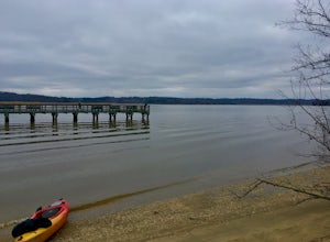
Paddle the Patuxent River through Maryland
While there are many parks along its length, one of the best places to explore along the 115 mile long Patuxent River is by putting in at Kings Landing Park. There is ample parking near the launch, and while vehicles are not allowed to park near the water, vehicles are encouraged to open the gat...Read more -
Fairfax Station, Virginia
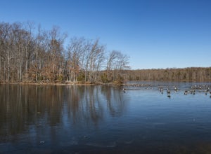
Explore Burke Lake in Fairfax
4.54.7 mi / 0 ft gainBurke Lake Park has something for everyone. Whether you enjoy trail running, hiking, fishing, canoeing, Frisbee golf, or just having a picnic with your family, you can do it all at Burke Lake. Those who want to be active or exercise can run, hike or biket the 4.7 mile trail that circles the entir...Read more -
Leesburg, Virginia
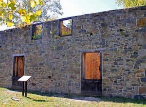
Hike the Red Rock Wilderness Overlook Loop
5.01.2 mi / 100 ft gainRed Rock Wilderness Overlook provides 60+ acres of trails to explore right in Leesburg, Virginia. The site is home to some ruins and buildings from the late 1800's and is a wonderful spot for picnics, hiking, trail running, and geocaching.The preferable loop is to take the trail that leads straig...Read more -
Dickerson, Maryland
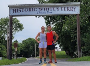
Hike along the C&O Canal: Whites Ferry to Edwards Ferry
5.010 mi / 165 ft gainPark in the lot on Whites Ferry road and hop on the Chesapeake Ohio towpath. This is an out-and-back so you can make it as short as you want or up to 10 miles. Great for familes and dog friendly!Read more -
Freeland, Maryland
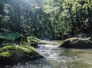
Hike Hemlock Gorge
5.03.5 mi / 300 ft gainThis is one of Baltimore's little known gems. The area contains an ecosystem which is essentially non-existent outside of the Appalachian mountain regions. It has also been seemingly under-appreciated and abused by locals. I am trusting that the Outbound Collective community will do its part to e...Read more -
Lorton, Virginia
Woodmarsh Trail
4.02.83 mi / 154 ft gainJust at the entrance to Mason Neck State Park is the Woodmarsh Trail. The entire loop is about 3 miles. This is a pleasant easy hike that is relatively flat with no rocks to speak of. The trail wanders through a forest and passes by a large swamp along the Potomac River. There is one well built o...Read more -
Knoxville, Maryland
Explore Point of Rocks/ Potomac River Overlook
4.00.2 mi / 95 ft gainPark at the Chesapeake and Ohio Canal parking lot. Walk to the US 15 and cross the road. Trail is not marked, though its faint traces can be detected as you continue on. GPS is recommended. Enjoy the overlook and when you're ready to go back, retrace your steps.Read more -
Clifton, Virginia
Hike the Bull Run Occoquan Trail
13 miThe Bull Run Occoquan Trail is located in Fairfax County, Virginia and is 50 miles outside Washington, DC and runs along the Bull Run waterway for 6.5 miles from Bull Run Marina to Fountainhead Regional Park. The blue blazed trail undulates for a total ascent of 1,510 ft and descent of 1,526 ft, ...Read more

