Keymar, Maryland
Looking for the best photography in Keymar? We've got you covered with the top trails, trips, hiking, backpacking, camping and more around Keymar. The detailed guides, photos, and reviews are all submitted by the Outbound community.
Top Photography Spots in and near Keymar
-
Waterford, Virginia
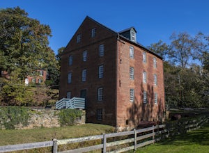
Hike the Historical Phillips Farm in Waterford
4.01 mi / 10 ft gainThis leisurely hike starts at the Old Mill at Waterford in Waterford, Virginia. You can find parking along the side of the road right near the mill. As you walk down and past the mill you'll see a fence and the beginning of the trail. This is a short, 1 mile hike and almost completely flat. If y...Read more -
Leesburg, Virginia
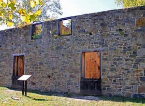
Hike the Red Rock Wilderness Overlook Loop
5.01.2 mi / 100 ft gainRed Rock Wilderness Overlook provides 60+ acres of trails to explore right in Leesburg, Virginia. The site is home to some ruins and buildings from the late 1800's and is a wonderful spot for picnics, hiking, trail running, and geocaching.The preferable loop is to take the trail that leads straig...Read more -
Great Falls, Virginia
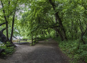
Hike from Riverbend Regional Park to Great Falls National Park
5.02.5 mi / 75 ft gainThis hike utilizes the Potomac Heritage Trail from Riverbend Park to Great Falls National Park. This section is an easy, mostly flat trail that will take you along the Potomac until you reach Great Falls National Park. When you reach Riverbend Park turn right into the parking lot. At the end of t...Read more -
Potomac, Maryland
Great Falls and the Billy Goat Trail
4.54.61 mi / 272 ft gainJust outside of Washington DC is a great hike and rock scramble you don't want to miss. Great Falls lies in both Virginia and Maryland and has beautiful views of the Potomac River. Start out at the Great Falls Tavern parking lot (Maryland side), and keep in mind it is $10 to park here if you don...Read more -
McLean, Virginia
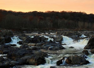
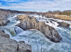
Photograph Great Falls of the Potomac
5.00.69 mi / 131 ft gainViewing Great Falls is easy which makes this adventure great for all levels of adventurers. There is a ~$10 entrance fee, there you will receive a map of the park. There are 3 platforms of viewing Great Falls, each platform has stunning panoramic views. Make sure you do not forget to bring your ...Read more -
McLean, Virginia
Difficult Run, Ridge, and River Trails
4.53.28 mi / 463 ft gainDifficult Run is a popular hiking location right down the street from Great Falls National Park. Starting at the Difficult Run parking lot you head to the trail at the far end of the lot. The trail will split. The green blazes will take you to the left but you can also stay to the right and hike ...Read more -
Pylesville, Maryland
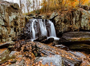
Hike to Kilgore Falls
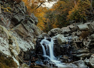
3.81.2 miThis 1.2 mile roundtrip hike leads to the second tallest waterfall in the state of Maryland. It is a short hike that's great for families and bringing the dog. In the warmer months, you can swim in the pool at the base of the waterfall. People have cliff jumped here, but exercise caution and do s...Read more -
McLean, Virginia
Hike at Turkey Run Park, McLean
4.02 mi / 200 ft gainTurkey Run Park is available to hikers year-around and is located just off of George Washington Parkway in McLean, Virginia. The exits are clearly marked and you simply drive to parking lot C-1 to start this hike.Turkey Run has numerous trail options available but I chose an out-and-back. When yo...Read more -
McLean, Virginia
Scott's Run Nature Preserve Loop
4.22.51 mi / 397 ft gainThis nature preserve can be hiked year-round and is a sanctuary for rare wildflowers, birds, and other wildlife including deer and fox. There are six main interconnecting trails that run through the preserve; winding their way around matured hardwood forest, sheer bluffs, and rocky cliffs overloo...Read more -
Laurel, Maryland
Hike the South Tract Trails at Patuxent Research Refuge
5 miFrom the visitors center, start on the Fire Road trail. From there, it's a choose-your-own adventure (choose-your-own ecosystem, actually). Pick the Laurel and Valley Trails to stay in the quiet (and maybe enchanted? It felt enchanted) forest. Goose Pond trail is a short jut to a--yup--pond, wher...Read more -
Washington, District of Columbia
Hike the Soapstone Valley Trail
4.02 miThis is an out-and-back trail that starts and ends on different roads, but you will have better luck parking on Albemarle Street NW (where I have indicated the trailhead is on the map). This is a long street with plenty of street parking, just pay attention to the signs to see how long you can le...Read more -
Kingsville, Maryland
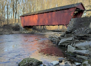
Hike the Jerusalem Village Trail & Jericho Covered Bridge Trail
4.3 mi / 341 ft gainThis is a moderately rated hike that features a river and quite a few hilly sections. The trail is known to be rather muddy, so be sure to wear appropriate waterproof footwear. Note that some sections of the trail are not well marked. You may want to review a map before embarking. There is park...Read more -
Cool Spring Path South Parking, Virginia
Hike Cool Spring Path
4.02 mi / 70 ft gainThe Cool Spring Path South is an old golf course that has been and still is in the process of being returned to its natural state by Shenandoah University. The paved paths from the golf course make this an easy hike for anyone. For those who may be in a wheelchair, this loop should be fully acces...Read more -
Bluemont, Virginia
Hike to Bears Den Overlook
4.41.31 mi / 164 ft gainBears Den is a collection of rocks and boulders that overlooks the Shenandoah Valley in northern Virginia, just off the Appalachian Trail. You have two options to access this overlook: park at the bottom of the mountain and hike up to the overlook via the trail, or drive to the top and access the...Read more -
Bluemont, Virginia
Hike to Raven Rock
4.35 mi / 1000 ft gainStarting at a small parking lot right off of Route 7 (wuick right onto Pine Grove Road) this hike takes you North on the Appalachian Trail in a very hilly/rocky part of the trail. Expect to gain and lose 300 feet+ multiple times! It's about 2.5 miles each way so budget at least a few hours to go ...Read more -
Aldie, Virginia
Relax at Aldie Park
Small park with nice walking trails, picnic tables, and a waterfall that cascades down from a dam. Its a wonderful place to take the family or just go for a breath of fresh air. Its also right near the downtown area of Aldie, which has a bakery, juice/smoothie shop, and other great shops to stop ...Read more

