Edgewater, Maryland
Looking for the best photography in Edgewater? We've got you covered with the top trails, trips, hiking, backpacking, camping and more around Edgewater. The detailed guides, photos, and reviews are all submitted by the Outbound community.
Top Photography Spots in and near Edgewater
-
Potomac, Maryland
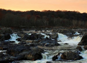
Great Falls and the Billy Goat Trail
4.54.61 mi / 272 ft gainJust outside of Washington DC is a great hike and rock scramble you don't want to miss. Great Falls lies in both Virginia and Maryland and has beautiful views of the Potomac River. Start out at the Great Falls Tavern parking lot (Maryland side), and keep in mind it is $10 to park here if you don...Read more -
McLean, Virginia
Difficult Run, Ridge, and River Trails
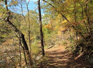
4.53.28 mi / 463 ft gainDifficult Run is a popular hiking location right down the street from Great Falls National Park. Starting at the Difficult Run parking lot you head to the trail at the far end of the lot. The trail will split. The green blazes will take you to the left but you can also stay to the right and hike ...Read more -
Great Falls, Virginia
Hike from Riverbend Regional Park to Great Falls National Park
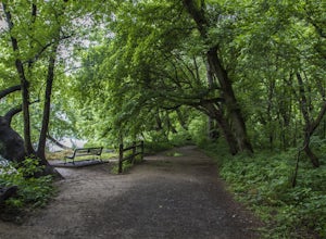
5.02.5 mi / 75 ft gainThis hike utilizes the Potomac Heritage Trail from Riverbend Park to Great Falls National Park. This section is an easy, mostly flat trail that will take you along the Potomac until you reach Great Falls National Park. When you reach Riverbend Park turn right into the parking lot. At the end of t...Read more -
McLean, Virginia
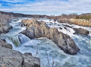
Photograph Great Falls of the Potomac
5.00.69 mi / 131 ft gainViewing Great Falls is easy which makes this adventure great for all levels of adventurers. There is a ~$10 entrance fee, there you will receive a map of the park. There are 3 platforms of viewing Great Falls, each platform has stunning panoramic views. Make sure you do not forget to bring your ...Read more -
Lusby, Maryland
Hike the Red Trail, Calvert Cliffs SP
4.83.6 miStarting in the parking lot you will follow the Red Trail for 1.3 miles until you reach the cliffs that give this park its name. The trail to the cliffs is both easy to follow and gorgeous at every turn. This is a fairly flat trail and is perfect for all skill levels as well as dog-friendly. Once...Read more -
Lorton, Virginia
Woodmarsh Trail
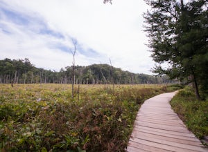
4.02.83 mi / 154 ft gainJust at the entrance to Mason Neck State Park is the Woodmarsh Trail. The entire loop is about 3 miles. This is a pleasant easy hike that is relatively flat with no rocks to speak of. The trail wanders through a forest and passes by a large swamp along the Potomac River. There is one well built o...Read more -
Cambridge, Maryland
Kayak the Blackwater National Wildlife Refuge
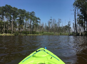
5.0The Blackwater National Wildlife Refuge is a perfect place to get away for a day. It offers more than 28,000 acres of marsh, forrest, and croplands which are teeming with wildlife. The refuge has a visitors center which is a good place to start the adventure and acquire knowledge of the area, th...Read more -
Fairfax Station, Virginia
Explore Burke Lake in Fairfax
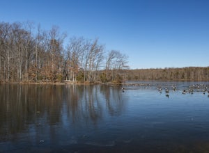
4.54.7 mi / 0 ft gainBurke Lake Park has something for everyone. Whether you enjoy trail running, hiking, fishing, canoeing, Frisbee golf, or just having a picnic with your family, you can do it all at Burke Lake. Those who want to be active or exercise can run, hike or biket the 4.7 mile trail that circles the entir...Read more -
North East, Maryland
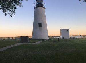
Hike to the Turkey Point Lighthouse in Elk Neck SP
3.01.6 mi / 60 ft gainThis hike begins from the parking lot trailhead that is well-marked. Be cautious - parking is limited and may be full on weekends, and the paved road suddenly ends at the parking lot entrance. The path is crushed stone, wide, and relatively flat. Dogs are welcome but must be on leashes. On th...Read more -
Fishing Creek, Maryland
Kayak to Barren Island
3 miBarren Island is an uninhabited island located in the Chesapeake Bay. It is part of the Chesapeake Marshlands NWR Complex and is known to be a swan nesting ground, as well as an active restoration project led by Army Corps of Engineers, NOAA, the FWS, the National Fish and Wildlife Foundation, an...Read more -
Parkton, Maryland
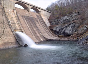
Photograph Prettyboy Dam
4.0Make sure you park in the designated spots located above the Dam. Walk across the Dam road bridge and about mid way stop and take a look over the edge. You will be greeted with the a beautiful view of the valley. To explore more keep walking over the dam bridge and walk down the stairs to view ...Read more -
Clifton, Virginia
Hike the Bull Run Occoquan Trail
13 miThe Bull Run Occoquan Trail is located in Fairfax County, Virginia and is 50 miles outside Washington, DC and runs along the Bull Run waterway for 6.5 miles from Bull Run Marina to Fountainhead Regional Park. The blue blazed trail undulates for a total ascent of 1,510 ft and descent of 1,526 ft, ...Read more -
North East, Maryland
Hike the White Banks Trail at Elk Neck SP
5.06 miMost people visit Elk Neck to photograph the lighthouse, or access to the Bay (the throttle of speed boats is never far), but don't miss out on the trails. The three mile out-and-back White Banks Trail offers crazy-beautiful views of the Chesapeake as well as a moderately difficult workout. Park ...Read more -
Bel Air, Maryland
Hike the Deer Creek Trail
5.02 miBecause Palmer State Park is still under development (with no timeline given for its completion), there are only a few trails that meander through this 555-acre reserve. Palmer's official website offers a not-so-helpful topographical map, but the easiest way into the park that I could find was ne...Read more

