Baltimore, Maryland
Top Spots in and near Baltimore
-
Dickerson, Maryland
Hike the Sugarloaf Mountain Trail
4.76.05 mi / 1509 ft gainPark on Sugarloaf Mountain Drive (as indicated on the map below) to access the trail. It is open from March-November and is dog friendly.Read more -
North East, Maryland
Hike the Elk Neck State Forest Trails
3.56.6 mi / 450 ft gainPark in the lot (see map) and follow signage for the loop trail. This is not a highly trafficked trail so there may be sections that need some maintenance, but that won't get in the way of completing the hike.Read more -
Alexandria, Virginia
Run or Bike the Dyke Marsh Wildlife Preserve
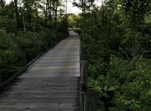
3 miStart your adventure at the Belle Haven Parking area then head down the Dyke Marsh Trail. To add on additional distance, head south down the Mt. Vernon Trail for more views, well maintained paths, and even some sitting areas. You'll find boardwalks that take you right across the marsh, so keep an...Read more -
Conestoga, Pennsylvania
Climb at Safe Harbor
3.3Directions: Drive to Safe Harbor. From Safe Harbor, take River Road south to Green Hill Road--this road is very windy. Drive towards Shenk's Ferry Wildflower Preserve. When you reach the tunnel, park on either side of the tunnel. There isn't too much parking here so I'd suggest carpooling.The tra...Read more -
Huntingtown, Maryland
Paddle the Patuxent River through Maryland
While there are many parks along its length, one of the best places to explore along the 115 mile long Patuxent River is by putting in at Kings Landing Park. There is ample parking near the launch, and while vehicles are not allowed to park near the water, vehicles are encouraged to open the gat...Read more -
Sterling, Virginia
Washington & Old Dominion Trail and Broadlands Ramble
5.019.55 mi / 863 ft gainWashington & Old Dominion Trail and Broadlands Ramble is a point-to-point trail where you may see local wildlife located near Ashburn, Virginia.Read more -
Dickerson, Maryland
Hike along the C&O Canal: Whites Ferry to Edwards Ferry
5.010 mi / 165 ft gainPark in the lot on Whites Ferry road and hop on the Chesapeake Ohio towpath. This is an out-and-back so you can make it as short as you want or up to 10 miles. Great for familes and dog friendly!Read more -
Knoxville, Maryland
Explore Point of Rocks/ Potomac River Overlook
4.00.2 mi / 95 ft gainPark at the Chesapeake and Ohio Canal parking lot. Walk to the US 15 and cross the road. Trail is not marked, though its faint traces can be detected as you continue on. GPS is recommended. Enjoy the overlook and when you're ready to go back, retrace your steps.Read more -
Leesburg, Virginia
Hike the Red Rock Wilderness Overlook Loop
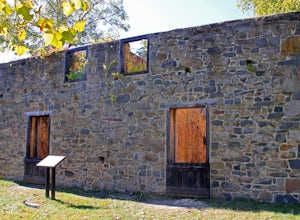
5.01.2 mi / 100 ft gainRed Rock Wilderness Overlook provides 60+ acres of trails to explore right in Leesburg, Virginia. The site is home to some ruins and buildings from the late 1800's and is a wonderful spot for picnics, hiking, trail running, and geocaching.The preferable loop is to take the trail that leads straig...Read more -
Thurmont, Maryland
Hike Catoctin Mountain
4.58.4 mi / 1370 ft gainPark at Catoctin Mountain Visitor Center. The hike starts at the end of the gravel parking lot across from the visitor center. This is definitely a popular hiking location, so come early on the weekends to guarantee a parking spot and to avoid the crowds. To start, take the right trail towards th...Read more -
Thurmont, Maryland
Hike Chimney Rock at Catoctin Mountain Park
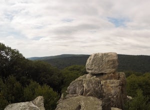
4.25 mi / 600 ft gainChimney Rock is the quintessential breathtaking view that makes a hike worthwhile. By parking at the most northeast parking lot on the trail map you are able to include the sweeping views of Thurmont Vista, and Wolf Rock on your way to Chimney Rock. Highly recommend visiting in the fall, and on w...Read more -
Thurmont, Maryland
Hike the Catoctin Mountain Extended Loop Trail
4.58.6 mi / 1696 ft gainThis 8.6 mile loop trail in Catoctin Mountain Park is good for both hikers and trail runners. This loop is the larger loop in the park, comprised of Cunningham Falls, Hog Rock, Blue Ridge Summit, Thurmont Vista, Wolf Rock, and Chimney Rock. The trail gets a moderate rating because it's mostly roc...Read more -
Thurmont, Maryland
Cat Rock via Old Misery Trail
3.02.89 mi / 797 ft gainThe best place to park is on Catoctin Hollow Road in the parking lot that's on the same side of the road as the lake. It's not a huge lot but we were here mid-summer around 10 am and found a spot easily. The trailhead is on the other side of the street from this parking lot; there is a sign letti...Read more

