Sumner, Maine
Looking for the best hiking in Sumner? We've got you covered with the top trails, trips, hiking, backpacking, camping and more around Sumner. The detailed guides, photos, and reviews are all submitted by the Outbound community.
Top Hiking Spots in and near Sumner
-
North Conway, New Hampshire
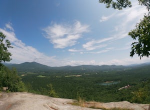
Hike White Horse Trail
4.75 mi / 1043 ft gainConsider this moderate hike a warm-up to some of the bigger boys in the area! We've hiked Cathedral Ledge from Echo Lake State Park in the past, but wanted something a little longer in distance & slighting more challenging. When I asked the guy manning the State Park booth for a map he said, ...Read more -
Randolph, New Hampshire
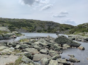
Madison Spring Hut to Lake of the Clouds Hut via Gulfside Trail
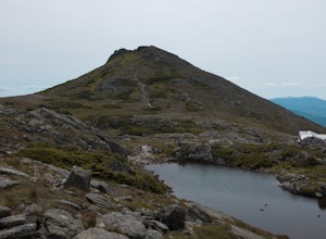
5.06.76 mi / 2441 ft gainMadison Spring Hut to Lake of the Clouds Hut via Gulfside Trail is a point-to-point trail that provides a good opportunity to view wildlife located near Randolph, New Hampshire.Read more -
Randolph, New Hampshire
Hike the Northern Presidentials
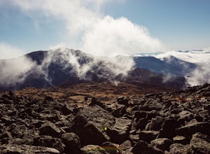
15.6 miThe Presidential Range is a mountain range located in the White Mountains of New Hampshire. They contain the highest peaks of the Whites and are named after Presidents of the U.S. I also want to add that this range is known for having some of the worst weather in America, mainly because of the un...Read more -
Conway, New Hampshire
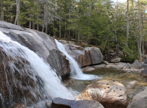
Diana's Baths
5.01.33 mi / 190 ft gainDiana's Baths is an out-and-back trail that takes you by a waterfall located near North Conway, New Hampshire.Read more -
Conway, New Hampshire
Cathedral Ledge via Bryce Path Trail
2.07 mi / 574 ft gainCathedral Ledge via Bryce Path Trail is an out-and-back trail that takes you by a waterfall located near Bartlett, New Hampshire.Read more -
Bartlett, New Hampshire
Hike Cathedral Ledge
4.03.4 mi / 722 ft gainDuring spring, summer and fall there is a road that allows you to drive to the top of Cathedral Ledge. In winter the road is closed off to vehicles so reaching the top requires a 1.7 mile hike. Once at the top, there is a fenced in lookout with a 180 degree view of North Conway and the surroundin...Read more -
Jackson, New Hampshire
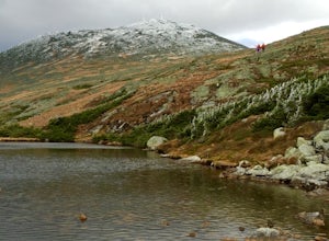
Lake of the Clouds from Mount Washington Summit via Crawford Path
5.02.81 mi / 1224 ft gainLake of the Clouds from Mount Washington Summit via Crawford Path is an out-and-back trail that provides a good opportunity to view wildlife located near Randolph, New Hampshire.Read more -
Conway, New Hampshire
Drive the Kancamagus Highway
4.834.5 miThe Kancamagus Highway is designated an American Scenic Byway. It cuts through the White Mountains of New Hampshire. The highest point along the drive is 3000 feet. It is known as one of the best fall viewing areas in the country. If your interested there is also several campgrounds along thi...Read more -
Randolph, New Hampshire
Summit Mount Jefferson, Mount Clay, and Mount Washington
4.010.5 mi / 4455 ft gainHike with at least one other and take two cars. First drop one car at the Cog Railway parking lot (Base Station Rd, Bretton Woods, NH). Jump into the second car and drive about 15 minutes to the Caps Ridge Trailhead on Jefferson Notch Road ( N 44° 18' 15"W 71° 21' 42" )The Caps Ridge Trail will l...Read more -
Randolph, New Hampshire
Hike Mount Jefferson
5 mi / 2700 ft gainMount Jefferson stands at 5712 feet, the third tallest mountain of the Presidential's in the White Mountain National Forest. The trail head begins at the Caps Ridge Trail on Jefferson Notch Rd. While 2.5 miles sounds easy, this hike is not for the once in while day hiker. Challenging rock scrambl...Read more -
Thompson and Meserves, New Hampshire
Hike Mt. Washington via Ammonoosuc Ravine Trail and Jewell Trail
5.07.4 mi / 3720 ft gainTo begin this hike, drive to Marshfield Station on Base Station Road in Jefferson, NH. There are several large parking lots capable of holding both hiker and Cog Railway traffic even on busy days. Parking in the lots at the Marshfield Station costs $5.00/day, there is a lot for hiker parking at t...Read more -
Arethusa Falls Road, New Hampshire
Snowshoe to Arethusa Falls via Bemis Brook Trail
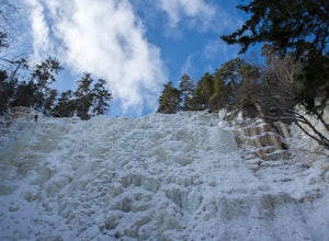
2.8 mi / 853 ft gainArethusa Falls is a popular hike in the White Mountains, and come winter it is a popular spot for ice climbing. The falls are located in Crawford Notch State Park and is the tallest waterfall in New Hampshire (between 140-200 feet). Following the Bemis Brook Trail to Arethusa Falls will add a few...Read more -
Hart's Location, New Hampshire
Hike to Frankenstein Cliffs
4.35 mi / 1400 ft gainThe Frankenstein Cliff trailhead is located in Crawford Notch State Park directly off of Route 302. If you're traveling from the south (Bartlett/North Conway) the parking lot for the trailhead is on your left hand side about 12 miles from Bartlett. There are signs for Arethusa Falls/Frankenstein ...Read more -
Hart's Location, New Hampshire
Hike Mt. Crawford
5.05 miDon't let the relatively short 2.5 mile hike up Mt. Crawford fool you, you certainly work for the amazing views from the summit. Located in Crawford Notch, park in the Davis Path lot almost directly across from the Notchland Inn on Rt. 302. The trail starts by going over a footbridge crossing the...Read more -
Jackson Webster Trail, New Hampshire
Hike Mount Jackson
4.5 mi / 2109 ft gainThe Jackson Webster trailhead is located on Crawford Notch Road a little ways down from the AMC Highland Center where they have bathrooms, food, a store, info, etc. There's a parking lot at the Center as well as a smaller lot right across from the trailhead. These lots often get filled up but you...Read more -
Crawford Notch Road, New Hampshire
Snowshoe Mount Jackson
5.2 mi / 2300 ft gainThe hike starts across the street from the AMC Highland Center on route 302, which means there is plenty of parking and when you finish there is a fireplace and snacks to warm up with! It starts at the Webster Jackson trailhead and after 1.4 miles breaks off onto the Jackson trail. At that point ...Read more

