Poland, Maine
Top Spots in and near Poland
-
Weld, Maine
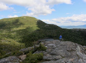
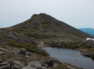
Hike Tumbledown Mountain
5.6 mi / 2300 ft gainTo keep the hike as short as possible, the hike can be an out and back at 5.6 miles, but if you wanted to make it a loop that is possible and adds only an additional 2 miles or so. We took the Brook Trail up to the summit (which passes by the alpine lake) and then followed it back down. To hike t...Read more -
Byron, Maine
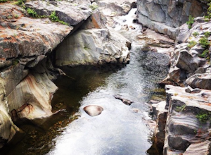
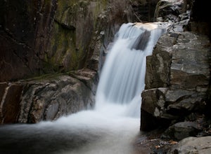
Swim in Coos Canyon
5.0Coos Canyon is right off of route 17 in Byron, ME. It's almost impossible to miss but if you're worried about it you can type "coos canyon" or "coos canyon rock and gift" into google maps and it will take you right there. There is a gravel parking lot to the right side of the road (heading north)...Read more -
Jackson, New Hampshire
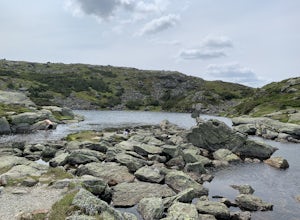
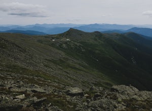
Lake of the Clouds from Mount Washington Summit via Crawford Path
5.02.81 mi / 1224 ft gainLake of the Clouds from Mount Washington Summit via Crawford Path is an out-and-back trail that provides a good opportunity to view wildlife located near Randolph, New Hampshire.Read more -
Randolph, New Hampshire
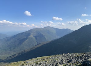
Madison Spring Hut to Lake of the Clouds Hut via Gulfside Trail
5.06.76 mi / 2441 ft gainMadison Spring Hut to Lake of the Clouds Hut via Gulfside Trail is a point-to-point trail that provides a good opportunity to view wildlife located near Randolph, New Hampshire.Read more -
Hart's Location, New Hampshire
Hike Mt. Crawford
5.05 miDon't let the relatively short 2.5 mile hike up Mt. Crawford fool you, you certainly work for the amazing views from the summit. Located in Crawford Notch, park in the Davis Path lot almost directly across from the Notchland Inn on Rt. 302. The trail starts by going over a footbridge crossing the...Read more -
Arethusa Falls Road, New Hampshire
Snowshoe to Arethusa Falls via Bemis Brook Trail
2.8 mi / 853 ft gainArethusa Falls is a popular hike in the White Mountains, and come winter it is a popular spot for ice climbing. The falls are located in Crawford Notch State Park and is the tallest waterfall in New Hampshire (between 140-200 feet). Following the Bemis Brook Trail to Arethusa Falls will add a few...Read more -
Hart's Location, New Hampshire
Hike to Frankenstein Cliffs
4.35 mi / 1400 ft gainThe Frankenstein Cliff trailhead is located in Crawford Notch State Park directly off of Route 302. If you're traveling from the south (Bartlett/North Conway) the parking lot for the trailhead is on your left hand side about 12 miles from Bartlett. There are signs for Arethusa Falls/Frankenstein ...Read more -
Bartlett, New Hampshire
Hike Mt. Carrigain
5.010 mi / 3250 ft gainPark on Sawyer River Road at the Signal Ridge Trailhead. Trail starts out as a mild climb and meanders with the Whiteface Brook. When you arrive at the Carrigain Notch Trail junction, turn left. Enjoy three miles of steep uphill along the mountain's edge. When you reach the the apex of Mt. Carrig...Read more -
Randolph, New Hampshire
Hike the Northern Presidentials
15.6 miThe Presidential Range is a mountain range located in the White Mountains of New Hampshire. They contain the highest peaks of the Whites and are named after Presidents of the U.S. I also want to add that this range is known for having some of the worst weather in America, mainly because of the un...Read more -
Kennebunk, Maine
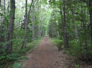
Hike the Bridle Path through the Madelyn Marx Preserve
4.01.5 mi / 0 ft gainAfter crossing the Mousam River on Western Ave, see signs and gravel pull-off areas for parking at the Bridle Path trailhead. The Madelyn Marx Preserve is a greater part of the Kennebunk Land Trust home to many preserves in the area (So look for Kennebunk Land Trust signs as well).Hike through op...Read more -
Thompson and Meserves, New Hampshire
Hike Mt. Washington via Ammonoosuc Ravine Trail and Jewell Trail
5.07.4 mi / 3720 ft gainTo begin this hike, drive to Marshfield Station on Base Station Road in Jefferson, NH. There are several large parking lots capable of holding both hiker and Cog Railway traffic even on busy days. Parking in the lots at the Marshfield Station costs $5.00/day, there is a lot for hiker parking at t...Read more -
Waterville Valley, New Hampshire
Sabbaday Falls
4.70.7 mi / 171 ft gainThis awesome waterfall is located right off of the Kancamagus Highway (rt 112) that runs from Lincoln to North Conway, NH. The highway itself is a very scenic drive through the White Mountains that has pull off spots every couple of miles. From I93 take exit 32 for Lincoln. Drive straight throug...Read more -
Wells, Maine
Hike the Carson Trail in Rachel Carson National Wildlife Refuge
4.01 mi / 0 ft gainPull into the well marked Wildlife Refuge off Port Rd. There's several official building as well as an interpretive center and bathroom very close to the parking lot.The only trail, the Carson Trail, is feet from the parking area. It's an extremely well groomed gravel trail easily accessible for ...Read more

