Bridgton, Maine
Looking for the best chillin in Bridgton? We've got you covered with the top trails, trips, hiking, backpacking, camping and more around Bridgton. The detailed guides, photos, and reviews are all submitted by the Outbound community.
Top Chillin Spots in and near Bridgton
-
Maine 26, Maine
Hike Eyebrow Trail to Old Speck Mountain Loop
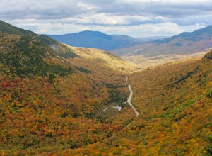
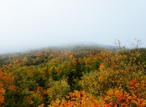
7.8 mi / 3000 ft gainThe first time I attempted this trail was in mid April, and the slush and mud I encountered was absolutely unbelievable. Snowshoes were useless. Crampons were useless. Boots alone meant dirty, wet, muddy feet. So, I had to bail. But I came back in October and I’m so glad I did because the views o...Read more -
Cape Elizabeth, Maine
Portland Head Light
5.0Portland Head Light is one of Maine's most iconic and picturesque lighthouses that offers stunning views year round. Located just about 15 minutes outside of Portland, Maine, it's the perfect place to go to watch an early winter sunset and enjoy some ocean views. To get to the light house, you wi...Read more -
Lincoln, New Hampshire
Summit Mount Hancock and South Hancock
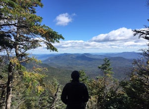
9.8 mi / 2220 ft gainThe Hancock trailhead is located at the infamous hairpin turn of the Kancamagus Highway in the White Mountains. The trail itself crosses the road and starts at 2000 feet of elevation on the Hancock Notch trail. It remains fairly flat for the first 3 miles of the trail. After 1.8 miles you will hi...Read more -
Old Orchard Beach, Maine
Photograph Sunrise at the Old Orchard Beach Pier
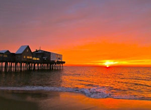
5.0Few things create a more dramatic scene for a sunrise than a pier spanning out into the water, and the one in Old Orchard Beach is pretty iconic. Normally the area is pretty packed, and it can be tough to find a parking spot (especially in the summer). But at sunrise, there is just you, the beach...Read more -
Cape Elizabeth, Maine
Hike around Cape Elizabeth's Dyer Cove
5.01 miIf you venture to Cape Elizabeth, you may be lucky enough to see it in the dense fog that I was able to.You'll take a windy road near Portland, Maine surrounded by cute, quaint homes on either side down to the rocky coastline. Park in the designated parking area (very easy to spot as the road's e...Read more -
Thornton, New Hampshire
Hike the Welch Mountain and Dickey Mountain Loop
5.04.1 mi / 1807 ft gainThis is a very well-marked and traveled trail, marked with yellow blazes. Start off at the trailhead (easy parking, $3 fee) and be sure to go counter-clockwise for the best route. The beginning of the trail meanders along next to a babbling brook and through forested terrain. The climb gets stead...Read more -
Jefferson, New Hampshire
Hiking at Pondicherry Wildlife Refuge
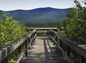
4.5As hiking in the White Mountain area goes, this is a pretty easy one. This is a family friendly hike along a rail trail and well maintained forest trails. The main attraction here isn't the difficultly. The main attraction here is the spectacular views and the abundant wildlife.This trail begi...Read more -
Byron, Maine
Swim in Coos Canyon
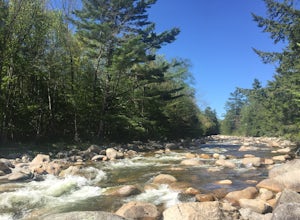
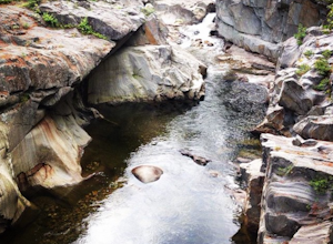
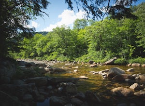
5.0Coos Canyon is right off of route 17 in Byron, ME. It's almost impossible to miss but if you're worried about it you can type "coos canyon" or "coos canyon rock and gift" into google maps and it will take you right there. There is a gravel parking lot to the right side of the road (heading north)...Read more -
Weld, Maine
Hike Tumbledown Mountain
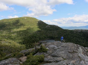
5.6 mi / 2300 ft gainTo keep the hike as short as possible, the hike can be an out and back at 5.6 miles, but if you wanted to make it a loop that is possible and adds only an additional 2 miles or so. We took the Brook Trail up to the summit (which passes by the alpine lake) and then followed it back down. To hike t...Read more -
Lincoln, New Hampshire
Explore the Basin in Franconia Notch
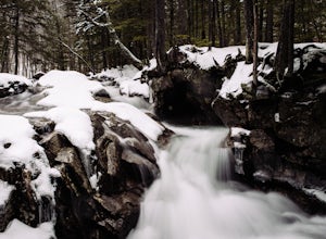
4.01 mi / 300 ft gainThe Basin is just one stop on the Pemigewasset Recreational Trail that follows along I-93 through Franconia Notch. The parking lot for the Basin is easily accessible from either north or south on I-93, and it has it's own exit sign which can't be missed.Park in the lot and follow the signs toward...Read more -
Franconia, New Hampshire
Hike Falling Waters Trail
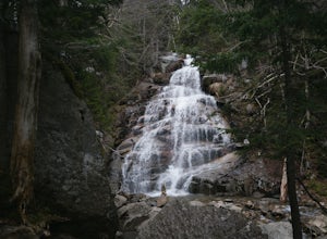
4.03 mi / 1100 ft gainFalling Waters Trail takes you up to the summit of Little Haystack Mountain, and Mount Lincoln and Mount Lafayette if you continue to the Franconia Ridge Trail / Appalachian Trail, then over to Old Bridle Path.Also along Falling Waters Trail are stunning waterfalls. The most popular one is Cloudl...Read more -
Franconia, New Hampshire
Backpack the Franconia Ridge Loop
4.514.5 mi / 3000 ft gainThis is a multi-day backpacking loop in Franconia Notch State Park, New Hampshire (located in the the White Mountains).Leave the car at the Lafayette Place Campground, (about 1700' elevation), then head up 1.4mi to Lonesome Lake. If you start hiking in the evening, as the sun is setting, you can ...Read more -
Franconia, New Hampshire
Camp at Lafayette Campground, White Mountains
5.08.3 miThe White Mountains offer some of the most prime foliage sightseeing (aka 'leaf peeping') in New England. Tourists flock to the Franconia Notch State Park area and surrounding parts of the White Mountains every October, but camping is generally less common. October can be a cold month in New Hamp...Read more -
Franconia, New Hampshire
Hike Artists Bluff
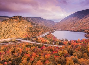
4.31.5 miStarting from the Bald Mountain trailhead, the Artists Bluff trail takes you up a short but steep 1.5 mile path to a beautiful rocky overlook of Franconia Notch State Park. This is the perfect hike to find incredible views of the park and some amazing foliage in autumn. We parked across the stree...Read more

