Challis, Idaho
Looking for the best photography in Challis? We've got you covered with the top trails, trips, hiking, backpacking, camping and more around Challis. The detailed guides, photos, and reviews are all submitted by the Outbound community.
Top Photography Spots in and near Challis
-
Mackay, Idaho
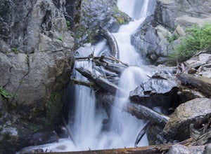
Hike to Big Fall Creek Falls
0.5 mi / 200 ft gainAccess the trailhead for Big Fall Creek Falls via Trail Creek Road. From Sun Valley the road is typically passable for sedans but is prone to producing flat tires. The parking area doubles as dispersed, free camping.Start the hike by crossing the creek on the log bridge. With the creek on your ri...Read more -
Lowman, Idaho
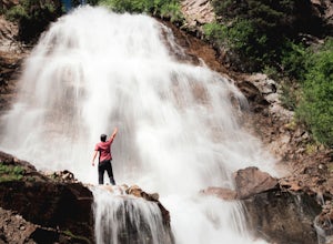
Hike from Stanley Lake to Bridal Veil Falls
5.07.9 mi / 570 ft gainBridalveil Falls [Video] The hike to the falls begins near Stanley Lake in a clearly marked trailhead parking lot (GPS coordinates below). From the parking lot there is a short walk up a dirt road where the trail breaks off at a sign for Bridalveil Falls on Trail 640. You will stay on Trail 640...Read more -
Stanley, Idaho
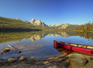
Paddle on Stanley Lake
5.0Stanley Lake is an Idaho alpine lake located at the base of the magnificent Sawtooth Mountains in the Sawtooth National Recreation Area. The lake is about 7 miles from the historic town of Stanley, Idaho and just over an hour from popular Sun Valley, Idaho.Our photography and hiking adventure cap...Read more -
Lowman, Idaho
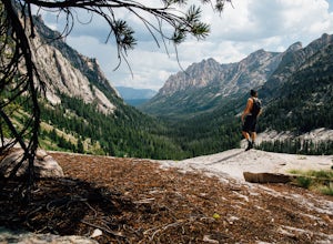
Redfish Lake to Alpine Lake
5.010.85 mi / 1893 ft gainJust south of the beautiful town of Stanley, Idaho lays one of coolest lakes in the region: Redfish Lake. Redfish is a banana shaped lake that boasts some of the most epic camping spots in all of Idaho. Using this area as home base, there's countless adventures within just a few miles. One of the...Read more -
Lowman, Idaho
Marten Lake and Kelly Lake
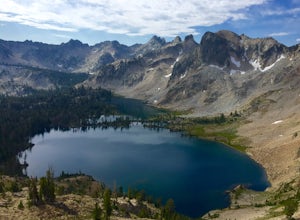
5.09.16 mi / 1434 ft gainThe Sawtooth mountain range consists of hundreds, maybe thousands, of small, crystal clear lakes. Because of the sheer number of lakes, there are many destinations where the foot traffic is considerably low. Most weekend packers will stick to the familiar: they find themselves hiking to Sawtooth ...Read more -
Lowman, Idaho
Imogene Lake
5.013.41 mi / 1496 ft gainYou will want to turn onto NF-209 off of highway 75, about 10 miles outside of Stanley, Idaho. You will then turn left onto 315, and you can either park at the lower or upper trail head for trail 097. When you park at the lower, you will be trekking 9 miles. If you choose the upper, you will be t...Read more -
Lowman, Idaho
Scramble Up Decker Peak
14.4 mi / 3990 ft gainThis can be a day trip or, if you want to take your time and relax after the climb, backpack in and camp at Hell Roaring Lake on the night before and after the climb. Begin your journey at Hell Roaring Lake Trailhead. From Stanley, drive on ID-75 south for 12 miles, turn west at Decker Flat, and ...Read more -
Mackay, Idaho
Hike to Kane Lake
4.76.8 mi / 1717 ft gainThis hike into the Pioneer Mountain Range starts out in a small meadow near Kane Creek, which you will follow for nearly the whole hike. Once you hit the forested area the uphill climb begins and doesn't stop until you get to the lake. About half way up the trail will begin taking you through roc...Read more -
Ketchum, Idaho
Alice Lake via Petit Trail
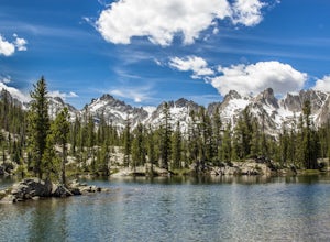
5.011.97 mi / 1673 ft gainAlice Lake is a must-see, jaw-dropping alpine lake in the Sawtooth Wilderness. Whether it's a day hike or a multiple night backpacking trip, it surely won't disappoint. Put on the Idaho playlist, we're headed to Stanley! In Stanley, hang right at the T in the road and continue 17 miles south alo...Read more -
Ketchum, Idaho
Alice Toxaway Loop
5.027.71 mi / 5515 ft gainThe Alice/Toxaway Loop is a standard loop in the Sawtooth Mountains, ID. The basic route is around 20 miles and takes 2-3 days. This trip report will outline our Aug 2016 trip and also give multiple options for you to use your own imagination when coming up with your own route. Below is my tak...Read more -
Mackay, Idaho
Hike Mount McCaleb
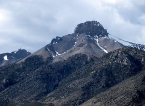
4 mi / 3500 ft gainMt. McCaleb's beautiful south face towers over the little town of Mackay, Idaho. The domineering peak is seen from US-93 just waiting to be climbed. It's a part of the Lost River Range, which boasts seven of Idaho's nine 12K-foot peaks; at 11,682 feet tall, McCaleb is Idaho's 34th highest peak.Th...Read more -
Mackay, Idaho
Hike to Lower Cedar Springs
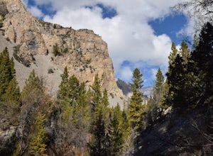
4.53.4 mi / 200 ft gainThis is one of the easiest, yet scenically rewarding, hikes in the Lost River Range. Traveling only 1.2 miles (3.4 miles round trip) with an elevation gain of about 200 ft. You travel in a canyon surrounded by some of the highest mountains in Idaho. Mt. McCaleb is the giant 11,682 ft peak on the ...Read more
Top Activities
Visit Idaho
Idaho is a picturesque state filled with beautiful scenery and warm, wonderful people. It's an ideal destination for family travelers, outdoor enthusiasts, adventure seekers, or those just looking for a relaxing getaway.
Learn More

