Marietta, Georgia
Top Spots in and near Marietta
-
Cartersville, Georgia
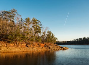
Camp at Red Top Mountain State Park
4.5Red Top Mountain State Park finds itself just 30 minutes up I-75 from the urban sprawl of Atlanta, and it is surprising how quickly you can forget exactly how close you are to the city with just one night of camping here. The State Park has a range of activities to offer, so there is bound to be...Read more -
Acworth, Georgia
Hike and Swim at Red Top Mountain
4.54.74 mi / 472 ft gainThe Georgia summer is no joke. Fortunately, Red Top Mountain's Homestead Trail hosts enough shade and swimming for all adventurers. The 5.5 mile loop is located on a large peninsula stretching out into Lake Allatoona. Hikers enter a lush forest of wildlife and will encounter moderate elevation...Read more -
Atlanta, Georgia
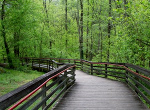
Hike the Cascade Springs Trail
5.01.9 miA quick and local getaway from the hustle and bustle of Atlanta city life, Cascade Springs Nature Preserve offers over 100 acres of forested trails that lead to Utoy Creek and Cascade Falls.The trail starts at the parking area and leads to a boardwalk where old historical structures stand alongsi...Read more -
2126-2144 Ponce De Leon Avenue Northeast, Georgia
Stroll through Deepdene Park
4.02 miDeepdene Park is the eastern most segment of the Olmsted Linear Park system that borders Ponce de Leon Avenue, connecting the Poncey-Highland community to the Druid Hills neighborhood. The parks included in this system are Springdale, Vigilee, Shadyside, Dellwood, and lastly, Deepdene. While the...Read more -
Alpharetta, Georgia
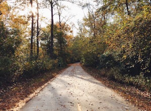
Bike or Run the Big Creek Greenway
3.516 mi / 200 ft gainThe Big Creek Greenway is a roughly 8-mile stretch of paved trail that runs from its northern Marconi Drive entrance in Alpharetta down to Old Alabama Road in Roswell. There is also an extended bit of the Greenway a little further north in Forsyth County, though these two trails do not connect. T...Read more -
Cartersville, Georgia
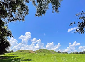
Etowah Indian Mounds Interpretive and River Walk Trails
4.01.08 mi / 105 ft gainEtowah Indian Mounds Interpretive and River Walk Trails is a loop trail that takes you by a river located near Cartersville, Georgia.Read more -
Cartersville, Georgia
Pine Mountain Loop
4.62.11 mi / 597 ft gainThe Pine Mountain Trail winds and climbs its way to awesome summit views, along massive granite outcrops and serene forest. Hike over wooden bridges, across sparkling streams, past misty waterfalls & rock outcroppings, varied forest, scenic overlooks, & leaping deer. This local gem is tuc...Read more -
Atlanta, Georgia
Hike around the Doll's Head Trail At Constitution Lakes Park
3.51 miLocating the entrance to Constitution Lakes Park is the hardest part of this hike. There's no specific address to take you to the parking lot, but if you find South River Industrial Boulevard, you'll see the sign for Constitution Lakes Park on your right. Parking is free and there are two trail...Read more -
Duluth, Georgia
Shorty Howell Park Loop
1.33 mi / 121 ft gainShorty Howell Park Loop is a loop trail that is good for all skill levels located near Duluth, Georgia.Read more -
Stone Mountain, Georgia
Stone Mountain
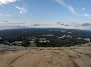
4.22.23 mi / 650 ft gainStone Mountain sits on the outskirts of downtown Atlanta. Located in the center of Stone Mountain Park, this 1,686 ft. granite mound provides visitors with a challenging cardio workout and excellent panoramic views of the Atlanta metropolitan area. Those who want to climb Stone Mountain should...Read more -
Duluth, Georgia
Bunten Road Park Loop
1.66 mi / 121 ft gainBunten Road Park Loop is a loop trail that takes you through a nice forest located near Duluth, Georgia.Read more -
Euharlee, Georgia
Paddle the Lower Etowah (Euharlee Road to 411)
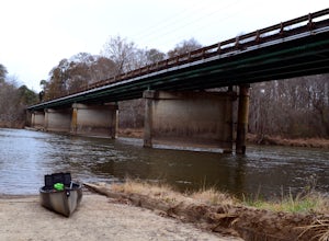
The nine mile stretch of river between Euharlee Road and 411 provides a beautiful getaway near Cartersville. As it sits downstream of Allatoona Lake, this is considered the Lower Etowah, and the temperament of the current depends largely on whether or not the Corps is releasing water upstream fro...Read more -
Suwanee, Georgia
Sims Lake Park Trail
5.01.17 mi / 135 ft gainSims Lake Park Trail is a loop trail that takes you by a lake located near Suwanee, Georgia.Read more -
Cumming, Georgia
Mountainside Loop Trail
4.05.35 mi / 823 ft gainMountainside Loop Trail is a loop trail where you may see beautiful wildflowers located near Cumming, Georgia.Read more -
Cumming, Georgia
Hike the Indian Seats Trail
4.33.24 mi / 453 ft gainThe Sawnee Mountain Preserve is easy to get to with a GPS and offers plenty of parking. To get to the Indian Seats Trail you will start down a short (.17 mile) trail that will take you to the trailhead. The Indian Seats Trail is a loop so once you reach the marked trail you can go either left or ...Read more -
Stonecrest, Georgia
Arabia Mountain
4.51.52 mi / 89 ft gainThe trail begins right off Klondike Road by the parking lot with restrooms, which is almost impossible to miss. Upon arriving, you begin a steady climb along the barren rock face. At this point, keep an eye out for the prominent cairns to guide you up and down the mountain. The trail itself is o...Read more

