Dahlonega, Georgia
Top Spots in and near Dahlonega
-
Otto, North Carolina
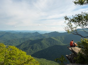
Hike to and Climb Pickens Nose
4.81.5 mi / 200 ft gainFrom the parking area (fits about 6 cars) follow the trail on the same side of the road up the ridge through dense rhododendron. Several spur trails branch off of the main trail and lead to rock outcroppings with excellent views. Getting to the parking area is slow. The narrow gravel road winds...Read more -
Franklin, North Carolina
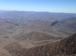
Backpack the Standing Indian Loop on the Appalachian Trail
24 miBegins at the parking lot for the Standing Indian Campground. (No permits are needed to park here) For the first 3.7 miles, take Kimsey Creek Trail, which runs along the water, until you meet up with the AT at Deep Gap. Rolling hills and lots of foliage throughout, leading up to Standing Indian M...Read more -
Copperhill, Tennessee
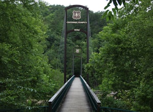
Explore Ocoee Whitewater Center
This location showcases the Ocoee river and the area used in the 1996 Olympics. This area is beautiful and has some amazing views. The drive to the whitewater center is called the Ocoee Scenic Byway and is the first national forest byway. The drive is gorgeous and features some amazing mountain v...Read more -
Copperhill, Tennessee
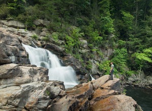
Hike the Beech Bottom Trail to Jacks River Falls
5.09 mi / 315 ft gainJacks River Falls is one of Georgia's most impressive waterfalls. Containing several cascades that combine to an 80 foot waterfall, this destination provides spectacular views and refreshing pools to take a dip in. You can approach the falls from either Jacks River Falls trail or the Beech Bott...Read more -
Franklin, North Carolina
Nantahala National Forest via the Appalachian Trail
4.027.11 mi / 5420 ft gainWinding Stair Gap on Highway 64 is the starting point for this spectacular backpacking trip through the Nantahala National Forest. It's right outside the hiker friendly town of Franklin, NC, so the town is your last chance for a hot meal and any last minute supplies. There is a parking lot at the...Read more -
Farner, Tennessee
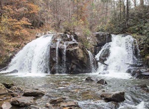
Turtletown Falls Trail
3.45 mi / 377 ft gainTurtletown Falls Trail is a loop trail that takes you by a waterfall located near Farner, Tennessee.Read more -
Franklin, North Carolina
Siler Bald from Wayah Gap
5.03.66 mi / 1060 ft gainThe Appalachian Trail does not need a lot of hype beyond its existing legendary status. However, there are certain parts of it that do stand out as being a little extra special. Siler Bald is one of those spots. A large clearing starting from Snowbird Gap and going all the way up to Siler Bald...Read more -
Marietta, United States
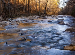
Hike Along Sope Creek
4.31.97 mi / 226 ft gainSope Creek is a little slice of wild heaven squeezed into the hustle and bustle of Atlanta's metro madness. Bordering the Chattahoochee River, Interstate 285, and Suburbia sprawl, Sope Creek offers the city dweller an environmental escape that seems too good to be true. From the parking lot off...Read more -
Acworth, Georgia
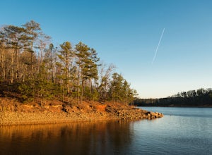
Hike and Swim at Red Top Mountain
4.54.74 mi / 472 ft gainThe Georgia summer is no joke. Fortunately, Red Top Mountain's Homestead Trail hosts enough shade and swimming for all adventurers. The 5.5 mile loop is located on a large peninsula stretching out into Lake Allatoona. Hikers enter a lush forest of wildlife and will encounter moderate elevation...Read more -
Dillard, Georgia
Hike to Rabun Bald
5.03 mi / 4696 ft gainStarting at the trailhead you begin by following the yellow blazes. The trail isn't well marked so keep an eye out for the blazes you see. The trailhead starts at the dead end of Kelsey Mountain Trail. The path immediately starts to incline and doesn't stop. A few minutes in you will come to a fo...Read more -
Cartersville, Georgia
Camp at Red Top Mountain State Park
4.5Red Top Mountain State Park finds itself just 30 minutes up I-75 from the urban sprawl of Atlanta, and it is surprising how quickly you can forget exactly how close you are to the city with just one night of camping here. The State Park has a range of activities to offer, so there is bound to be...Read more

