Torrington, Connecticut
Top Spots in and near Torrington
-
Hamden, Connecticut
Mountain Bike West Rock Ridge State Park
West Rock Ridge State Park is a 700 ft high scenic ridge that is located on the west side of New Haven. There are tons of good mountain biking trails located all around the ridge that can satisfy all types of skill levels. The easiest place to park is the Lake Wintergreen parking lot, which sits ...Read more -
Great Barrington, Massachusetts
Hike Monument Mountain
4.02 mi / 720 ft gainAt 1642 feet (with a total elevation gain of 720 feet), Squaw Peak is a great spot to see both Mt Greylock along the Vermont border, and the Catskills in New York. There are several trail options here to get to the summit, but no matter which combination you choose, you can keep your trip under ...Read more -
Middlesex County, Connecticut
Hike to Glen Falls
5.00.75 miAccessing Glen Falls may be a little tricky at first. Parking will be very minimal, you will park on Grist Mill Ln. Hop onto the road and you will see the trail map on the left side. The adventure begins when you cross the street and go through the gate with the yellow blaze symbol. Keep followin...Read more -
Danbury, Connecticut
Hike Middle Mountain To Thomas Mountain Loop
3.7 mi / 856 ft gainMiddle Mountain to Thomas Mountain Loop is a 3.7 mile loop hike that takes you past great forest setting located near Danbury, Connecticut.Read more -
Stockbridge, Massachusetts
Laura's Tower and Ice Glen
5.02.4 mi / 676 ft gainYou will park at the end of Park Street in Stockbridge, Massachusetts. From the parking are you will cross a beautiful bridge over the Housatonic River. The trail crosses railroad tracks and immediately begins to climb into the woods. You will reach a split in the trail, a left will take you...Read more -
Glastonbury, Connecticut
Blackledge Falls
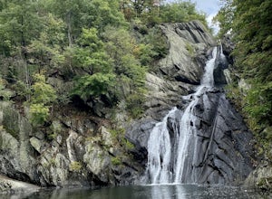
4.01.46 mi / 207 ft gainAlthough the park contains hiking trails, a pond and a streambelt, the primary draw of this parcel of land is the 25 foot waterfall. The falls flow varies depending on the volume of precipitation, from a trickle in the dry months to a three-pronged vertical drop after some consistent snow melt or...Read more -
Brewster, New York
Fly Fish the East Branch of the Croton River
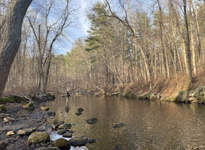
If you're craving some time away from the bustle of everyday life to enjoy some silence, broken only by the babbling sound of water flowing over small boulders and the occasional crunching of leaves-- you'll find many spots along the Croton River to satisfy your desire for stillness. The Croton...Read more -
Ridgefield, Connecticut
Hike the Hemlock Hills & Pine Mountain Loop
7.5 mi / 1174 ft gainThere are several trailheads for Hemlock Hills But the least crowded is at the intersection of Ned's Mountain road and Bogus Road. I took my 3 year old black lab. There are ton's of little ponds for your dog to jump in and do dog things. For the most part the hike is flat but at some parts it c...Read more -
Carmel Hamlet, New York
Ninham Mountain Fire Tower
5.01.23 mi / 367 ft gainThis is more of a stroll than a hike, which is nice because you can add it to another hike in the same day if you're in the area. From the dirt parking lot take the trail off to the right. Just stay straight and in about 15 minutes you'll see a huge fire tower (hard to miss). Feel free to climb a...Read more -
Holyoke, Massachusetts
Whiting Street Reservoir Loop
3.74 mi / 138 ft gainWhiting Street Reservoir Loop is a loop trail that takes you by a lake located near Holyoke, Massachusetts.Read more -
Hampden, Massachusetts
Goat Rock Trail
2.67 mi / 659 ft gainGoat Rock Trail is an out-and-back trail where you may see beautiful wildflowers located near Hampden, Massachusetts.Read more -
Hudson, New York
High Falls Conservation Area Loop
1.41 mi / 194 ft gainHigh Falls Conservation Area Loop is a loop trail that takes you by a waterfall located near Philmont, New York.Read more -
Kent, New York
King's Chamber and Moose Hill Loop
3.14 mi / 499 ft gainKing's Chamber and Moose Hill Loop is a loop trail that takes you by a lake located near Carmel, New York.Read more -
Hopewell Junction, New York
Lake Canopus Viewpoint
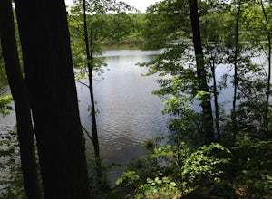
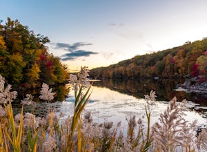
4.02.07 mi / 148 ft gainIts a great place to explore as it has a beautiful calm lake especially in the fall, the reflection of the water and the awesome colors are unbelievable. Its a short hike but you certainly could go further up. Parking is free by the road, hike towards the lake about a mile or so. The sound of bi...Read more -
Hopewell Junction, New York
Beaver Pond via Appalachian Trail
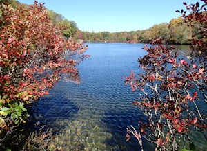
5.03 mi / 400 ft gainBeaver Pond is a small body of water created by a dam that was constructed during the days of iron ore mining in the area. The pond is crystal clear and has a wonderful tree line right on the water. The best time to visit here is early morning in the fall. With the leaves changing color they m...Read more -
Bridgeport, Connecticut
Stroll around Fayerweather Island
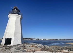
0.5 miParking is at the end of Barnum Road in the Seaside Park. Though the lighthouse grounds are accessible the tower itself is not open to the public. To access the island you must walk across the breakwater. Please use caution as it is uneven footing and at times can be slippery. From the isla...Read more

