Salisbury, Connecticut
Looking for the best photography in Salisbury? We've got you covered with the top trails, trips, hiking, backpacking, camping and more around Salisbury. The detailed guides, photos, and reviews are all submitted by the Outbound community.
Top Photography Spots in and near Salisbury
-
3197 U.S. 44, New York
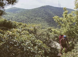
Hike to Sky Top via the Undercliff Road
7.3 mi / 900 ft gainStarting from the East Trapps parking area ascend the East Trapps connector trail marked with yellow blazes. You can also park at the Mohonk Preserve visitor center where you can purchase your access pass ($15 per person) and pick up a free map of the presere trails and carriage roads. The conn...Read more -
Gardiner, New York
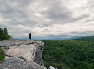
Hike The Millbrook Mountain Ridge Trail
5.07 mi / 1400 ft gainWant to walk on the edge? visit Millbrook Mountain in the Catskills of NY. This loops hike follows the mountains ridge line most of the way to the summit with multiple viewpoints and cliff ledges to walk out on. This hike is recommended those in the area.Park at West Trapps Parking Lot and head ...Read more -
Gardiner, New York
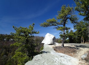
Hike the Overcliff - Undercliff Road Loop
5.3 mi / 350 ft gainFrom the West Trapps parking lot ($15 for hikers), walk to the end of the parking lot and past a large kiosk. The trail connects the parking lot to the Overcliff Road/Undercliff Road junction. The loop can be done in either direction. I turned left on the Overcliff Road. This takes you behind...Read more -
Cold Spring, New York
Hike the Perkins/Fahnestock/Charcoal Burners Trail Loop
7.5 mi / 800 ft gainThis is one of my favorite hikes in the Clarence Fahnestock State Park. A real mixed bag but mostly very enjoyable. The trail starts at the Charcoal Burners Trailhead Route 301. There is only road side parking on a soft shoulder, both sides of the road. After a short walk into the forest, you re...Read more -
Beacon, New York
Hike the Scofield Ridge Loop
7.5 mi / 1850 ft gainThere are some great view points along this route. Start from the Mount Beacon Park trailhead parking area. This leads to the Casino Trail (red markers). The trail climbs steeply to some old ruins of a casino. Most of what remains is only the brick structure housing the mechanics for a trolle...Read more -
Beacon, New York
Malouf's Mountain Camp on Mt. Beacon
7.02 mi / 2087 ft gainStarting in the quaint town of Beacon there are a couple of options for hikes of varying difficulty. From the station the walk is about 1.5 miles to the trail heads, alternatively if you choose to stay the night at Malouf's Mountain Sunset Campground you can arrange for the host to meet you, take...Read more -
Beacon, New York
Mt. Beacon Fire Tower
4.83.83 mi / 1332 ft gainMount Beacon is a very popular trail along the Hudson River, and for good reason. It offers a good workout, fantastic views for both sunrise and sunset (and of course the time in between), a recently rebuilt fire tower, and all with incredibly easy access right on the edge of a lively town. The ...Read more -
Beacon, New York
Explore Long Dock and Dennings Point Parks
4.0Long Dock and Dennings Point are two of the most popular parks in Beacon, that just so happen to be connected by a train track turned trail. Plenty of parking is available at Long Dock, and its a perfect spot to picnic, launch your kayak into the Hudson, or cast your line hoping to reel in the bi...Read more -
Gardiner, New York
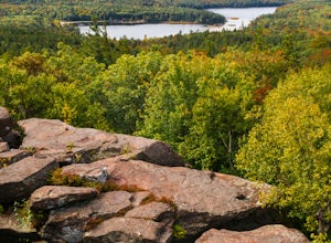
Gertrude's Nose
4.96.97 mi / 919 ft gainIt would be impossible to see all of Minnewaska’s beautiful spots in one day. Gertrude's Nose is, in my opinion, the best view in the entire park. Round trip, the hike is approximately 5 hours, and is a 7.5 mile trip. To get to the trailhead: Drive to the Minnewaska State Park entrance, pass the...Read more -
Windham, New York
Backpack the Catskill's Escarpment Trail
32.4 mi / 8000 ft gainThe Escarpment Trail runs the length of the Catskill Escarpment. The Escarpment rises steeply from the valley below forming the northeast corner of the Catskill Mountains. It offers great views toward the Adirondack Mountains to the north and the great Hudson River to the east. The trail is moder...Read more -
Manchester, Connecticut
Explore Wickham Park
5.0Wickham Park Is open the first weekend in April and closes the last weekend in October. Entrances fees are $5 Monday-Friday and $7 Saturday-Sunday. The park is known for its 250 acres of open fields, wildflowers, gardens, ponds and nature center. There is no where else can you go have a picnic w...Read more -
Gardiner, New York
Hike the Millbrook Mountain/Gertrude Nose loop
9 mi / 1700 ft gainThis great loop hike starts from the upper parking lot of Lake Minnewaska State Park. Walk towards Lake Minnewaska and once on that carriage road, turn left and follow the road to the to the opposite end of the lake. Along the way are great view points of the lake and several picnic areas for day...Read more -
Meriden, Connecticut
Higby Mountain Trail
2.11 mi / 486 ft gainThe popular route for this hike is to park your car at the base of the trail which is located right before merging onto 91-S in Middlefield, CT. The parking lot does seem to get crowded mid-day, especially if the weather is nice! The beginning of the hike is mostly flatter land and an incline w...Read more -
Williamstown, Massachusetts
Hike the March Cataract Falls Trail
4.02.2 mi / 511 ft gainPark at the Junction of Sperry Rd and Rockwell Rd. To get to the trailhead, hike along Sperry Road for about 30 minutes. (Not to the end of the road, see map below.) Then hike along the March Cataract Trail, an out-and-back. You can bring dogs on leash. The trail is short but steep in some parts ...Read more -
Beacon, New York
Sugarloaf Mountain via Wilkinson Memorial Trail
5.02.15 mi / 820 ft gainTrail is currently closed. Get updates at parks.ny.gov. Sugarloaf Mountain is part of the Hudson Highlands State Park, along with Breakneck Ridge, Bull Hill, and Mt Beacon. Though the views are just as impressive as its sister trails, it is never as crowded and it's one of my favorite spots in ...Read more -
Beacon, New York
Sunset Point - South Beacon Mountain Loop
4.08.92 mi / 2470 ft gainThis loop hike form the Notch Trail northern trailhead on Route 9D. There is enough parking at this trailhead for about 5-6 cars. The Notch Trail is identified with blue trail markers. It is well maintained and plenty of markers to guide your way. This is important because there are m...Read more

