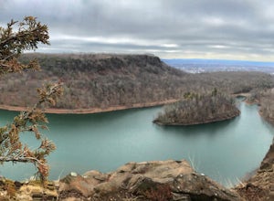
North Stonington, Connecticut
Looking for the best hiking in North Stonington? We've got you covered with the top trails, trips, hiking, backpacking, camping and more around North Stonington. The detailed guides, photos, and reviews are all submitted by the Outbound community.
Top Hiking Spots in and near North Stonington
-
Douglas, Massachusetts
Hike the Coffeehouse Loop, Douglas State Forest
3.02.2 mi / 500 ft gainDouglas State Forest is located off of Rte 16 in south central Massachusetts. To access trails and the lake, head to the parking area on Wallum Lake Park Road. From the parking lot, you can access the Coffeehouse Loop Trail, as well as a few other shorter trails by the lake. The Coffeehouse Loop ...Read more -
Middletown, Connecticut
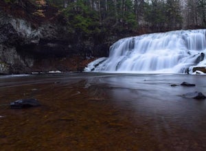
Explore Wadsworth Falls
5.00.25 miWhen it comes to exploring Wadsworth Falls its ease of access couldn't be better. As soon as you pull into the parking lot you hear the falls roaring. Take the quick walk to see the picturesque scenery.Facts about Wadsworth Falls:Height: 25ft tall and doubled in width Rock: Hampden Basalt -the ro...Read more -
Blackstone, Massachusetts
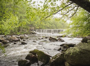
Hike the Blackstone Gorge Trail
5.00.7 mi / 72 ft gainPark at the lot at the corner of Staples Lane and County Street. From here you can access the Blackstone Gorge Trail. Dogs are allowed on leash, and you can enjoy various paths along the river or through the forest. At multiple points you can find yourself looking down at the Blackstone River fro...Read more -
Westport, Massachusetts
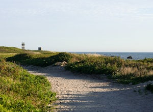
Hike Gooseberry Island
1.5 mi / 36 ft gainBegin an hour before sunset at the intersection between West Beach and East Beach Road. The intersecting roads will lead you to a paved causeway over the ocean. Waves typically clash on either side of you as you drive over the ocean. There is a free parking lot once you reach the opening. To reac...Read more -
Meriden, Connecticut
Higby Mountain Trail
2.11 mi / 486 ft gainThe popular route for this hike is to park your car at the base of the trail which is located right before merging onto 91-S in Middlefield, CT. The parking lot does seem to get crowded mid-day, especially if the weather is nice! The beginning of the hike is mostly flatter land and an incline w...Read more -
Dartmouth, Massachusetts
Hike Frank Knowles–Little River Reserve Trail
4.64 mi / 295 ft gainFrank Knowles-Little River Reserve contains nearly 9 miles of hiking trails to explore. Start off by parking in the white sea shell parking lot. From there you will find the trail marked by a DNRT sign . My group and I walked along the red/boardwalk trail which features a number of boardwalks lea...Read more -
Sutton, Massachusetts
Hike the Purgatory Chasm Trail
4.71 mi / 115 ft gainFor this 1-mile hike, you can park at the Purgatory Chasm Visitor Center. From there hit the trail and explore the unusual gap between the tall granite walls, which might be adorned with climbers. Great for all ages and dogs are welcome too. The trail is open March-November.Read more -
Berlin, Connecticut
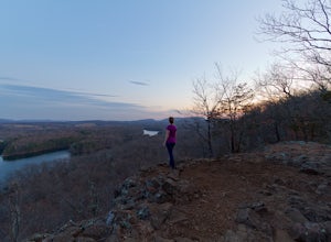
Hike the Ragged Mountain Memorial Preserve
4.55.5 mi / 560 ft gainRagged Mountain main loop is approximately 5.5 miles long, and is known for its expansive bare-rock vistas, vertical cliff faces, and scenic views overlooking cliff-side reservoirs and ponds. The trail is rated moderate, with some flat stretches among the trees, mixed with some uneven rocky foot...Read more -
Meriden, Connecticut
Hike the Metacomet, Blue, and Yellow Loop
5.04.5 mi / 976 ft gainStart from the Castle Craig road entrance. Walk until you're greeted by a beautiful reservoir. You'll notice the strange but beautiful Mine Island in the middle of all this. You'll also notice markers for White Trails and Yellow Trails. The White Trail is an easier/wider trail. The Yellow Trail C...Read more


