Monroe, Connecticut
Looking for the best photography in Monroe? We've got you covered with the top trails, trips, hiking, backpacking, camping and more around Monroe. The detailed guides, photos, and reviews are all submitted by the Outbound community.
Top Photography Spots in and near Monroe
-
Dover Plains, New York
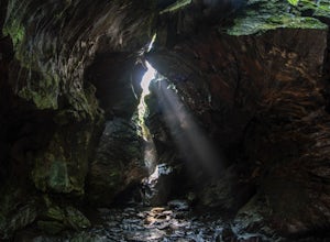
Hike Dover's Stone Church
4.5Dover Stone Church has been a beautiful and popular destination in the Hudson Valley for some time, and recently the park purchased a new parcel of land and added three trails through the nearby woods. But the gem of the park is, and always will be, the impressive cave with the creek and waterfal...Read more -
Sharon, Connecticut
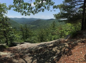
Hike the Pine Knob Loop, Housatonic Meadows SP
5.02.5 mi / 770 ft gainThe Pine Knob loop is a 2.5 mile loop trail that takes you through beautiful thick woods filled with vistas, wild flowers and tons of wild life. You will start your adventure at the Pine Knob Trail head where you will be able to a Connecticut Appalachian trail guide. Pine Knob is a blue blaze ...Read more -
Kings Park, New York
Kayaking the Nissequogue River
5.0Starting on the banks of Nissequogue River State Park, this 6 mile journey makes you feel like you’re cruising down river in the south, when you’re really on Long Island. I really suggest going as high tide is rolling in as there can be some shallow sections along this trip. Head out into the ope...Read more -
Hopewell Junction, New York
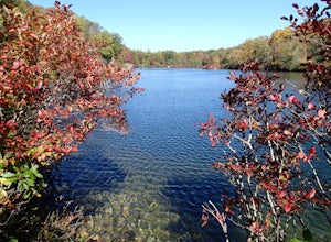
Beaver Pond via Appalachian Trail
5.03 mi / 400 ft gainBeaver Pond is a small body of water created by a dam that was constructed during the days of iron ore mining in the area. The pond is crystal clear and has a wonderful tree line right on the water. The best time to visit here is early morning in the fall. With the leaves changing color they m...Read more -
Middlesex County, Connecticut
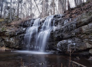
Hike to Glen Falls
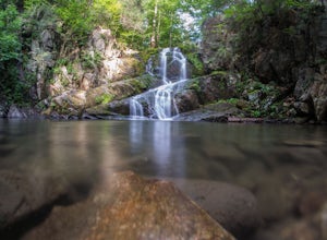
5.00.75 miAccessing Glen Falls may be a little tricky at first. Parking will be very minimal, you will park on Grist Mill Ln. Hop onto the road and you will see the trail map on the left side. The adventure begins when you cross the street and go through the gate with the yellow blaze symbol. Keep followin...Read more -
Cold Spring, New York
Hike the Perkins/Fahnestock/Charcoal Burners Trail Loop
7.5 mi / 800 ft gainThis is one of my favorite hikes in the Clarence Fahnestock State Park. A real mixed bag but mostly very enjoyable. The trail starts at the Charcoal Burners Trailhead Route 301. There is only road side parking on a soft shoulder, both sides of the road. After a short walk into the forest, you re...Read more -
Glastonbury, Connecticut
Hike the Cotton Hollow Nature Preserve
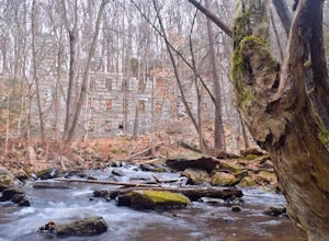
5.03 miThere are two parking locations for Cotton Hollow, the location tagged in the directions is the shortest hike to the old gun powder mill. Suggestions when it comes to exploring the preserve are to stay on the trails, know your limits, and enjoy! There are swimming holes along the river, but swim ...Read more -
Simsbury, Connecticut
Hike to the Heublein Tower on Talcott Mountain
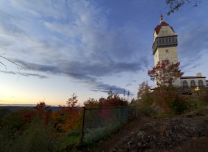
4.32.54 mi / 404 ft gainThe Heublien Tower Trail, located just inside the Talcott Mountain State Park entrance off of Route 185 in Simsbury CT, is a short 1.25 miles. While the hike isn't long, the first 1/3 of a mile is a steep incline that will get your heart pumping. The trail itself it very well kept, and although ...Read more -
Cold Spring, New York
Photograph Indian Brook Falls
2.8This is about as short a walk and as little effort as you can put in for a beautiful waterfall. You can barely call it a hike, but I'll list it as such since you do walk through the woods for 5 minutes. The trail is extremely well built, and is pretty easily accessible through the winter.The trai...Read more -
Beacon, New York
Hike Fishkill Ridge
Fishkill Ridge is a strenuous but rewarding hike, and one of the less known areas in the Hudson Valley. The parking area is at the very end of Sunnyside Road in Beacon, along with the information board at the trailhead. The red trail leaves the lot and will take you up to the first peak on the ri...Read more -
Rye, New York
Hike the Marshlands Conservancy Loop
4.01.55 mi / 125 ft gainLocated along the Long Island Sound, this 147-acre conservancy is home to a plethora of different birds, including marsh wrens, seaside sparrows, and American woodcocks. The conservancy has 3 miles of trails, all easy to navigate. Starting out from the visitor's center, take the trail to the rig...Read more -
Cortlandt, New York
Hike the Camp Smith Trail
4.55.92 mi / 1759 ft gainThis approximately 3-hour hike borders the Hudson River, and is one of the best in Westchester County. Start off at the parking area at the Bear Mountain Tollhouse, or at a small parking area farther up Bear Mountain Road, if you want a slightly shorter hike. The trail is fairly steep in places, ...Read more -
Cold Spring, New York
Hike the Washburn/Nelsonville/Undercliff Loop
7.2 mi / 2000 ft gainThis is a difficult loop hike that has several different starting points. I chose to start at the Washburn Trail Head, which is the lowest starting point you can select. Nearly on the Hudson River, the trail ascends immediately along a well maintained road designated by white disc markers. Aft...Read more -
Cold Spring, New York
Hike the Cornish/Brook/Notch/Washburn/Undercliff Loop
8 mi / 1500 ft gainThis loop is a great option to avoid crowds on the west side of the Washburn trail. Start at the same trailhead for the Washburn Trail. The Cornish Trail is on the left and there is an obvious sign at the trail split a few feet from the parking area. The Cornish Trail is an old road from about...Read more -
Beacon, New York
Hike the Scofield Ridge Loop
7.5 mi / 1850 ft gainThere are some great view points along this route. Start from the Mount Beacon Park trailhead parking area. This leads to the Casino Trail (red markers). The trail climbs steeply to some old ruins of a casino. Most of what remains is only the brick structure housing the mechanics for a trolle...Read more -
Beacon, New York
Malouf's Mountain Camp on Mt. Beacon
7.02 mi / 2087 ft gainStarting in the quaint town of Beacon there are a couple of options for hikes of varying difficulty. From the station the walk is about 1.5 miles to the trail heads, alternatively if you choose to stay the night at Malouf's Mountain Sunset Campground you can arrange for the host to meet you, take...Read more

