Wellington, Colorado
Top Spots in and near Wellington
-
Estes Park, Colorado
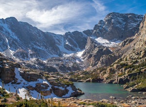
Chasm Lake via Longs Peak Trailhead
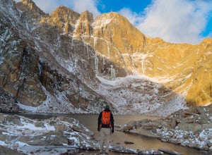
4.78.01 mi / 2425 ft gainThe 4-mile trail climbs around 2500ft from the Longs Peak trailhead and starts by winding through dense forest. In the morning darkness, trudging through thick trees isn’t the most exciting, but when you finally climb out above treeline, the massive profile of Longs and the slowly growing light o...Read more -
Estes Park, Colorado
Longs Peak
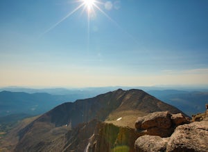
5.013.3 mi / 5100 ft gainFor the most part, this hike is very straightforward, so I'll essentially skip over the first 5.5 or so miles of the hike, but, in case you don't know: Start (very early so you get a parking spot) from the trailhead right next to the parking lot (the road to it is paved - seriously this mountain...Read more -
Estes Park, Colorado
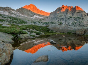
Peacock Pool
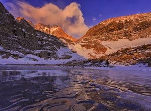
7.9 mi / 2438 ft gainThe peacock pool is a cool little tarn below the outlet to Chasm Lake. Please note that this adventure is best done in the winter/spring when snow is present to prevent erosion in the sensitive area. That is how the description will be written, assuming winter conditions. The approach is the sa...Read more -
Estes Park, Colorado
Boulderfield Campground via Longs Peak Trail
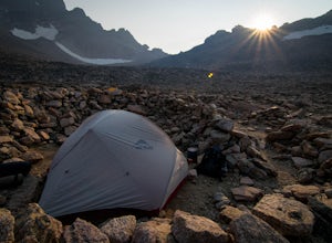
11.39 mi / 3337 ft gainBoulder Field is a high alpine backcountry site on Longs Peak, and is a popular camp for backpackers attempting to summit Longs Peak via the Keyhole route. At an impressive elevation of 12,760 feet, Boulder Field is a vast wasteland of rocks that sits 500 feet below the famous Keyhole feature, an...Read more -
1398 Longs Peak Road, Colorado
Storm Peak and Mount Lady Washington
4.512.57 mi / 5312 ft gainThis adventure began at the Longs Peak trailhead in southeastern Rocky Mountain National Park, Colorado. I followed the Longs Peak trail for 6 miles to the Boulderfield backcountry camping area. This is a fairly steep on-trail climb of 3,360 feet. After setting up camp at 12,760 feet, my partner...Read more -
Larimer County, Colorado
Bierstadt Lake Loop
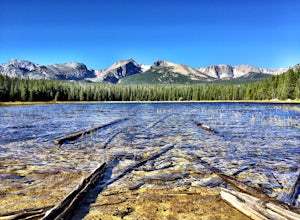
4.32.93 mi / 675 ft gainFrom the Bierstadt Lake Trailhead on Bear Lake Road in Rocky Mountain National Park, you start out in lodgepole pines at 8850 feet high. But you quickly get into the aspens. In the breeze, aspens flutter or quake. It's unique sound as the leaves almost dance in the wind. The views and aspens ...Read more -
Bellvue, Colorado
Photograph Poudre Falls
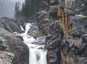
To get to Poudre Falls, simply drive up Poudre Canyon on Highway 14, just north-west of Fort Collins. The drive all of the way up to the falls is a little bit of a jaunt and will take about an hour or so. There are plenty of cool things to see on the way, so have the camera in the passenger seat...Read more -
Estes Park, Colorado
Chapin Pass Trail to Mount Chapin
3.95 mi / 1316 ft gainChapin Pass Trail to Mount Chapin is an out-and-back trail where you may see beautiful wildflowers located near Estes Park, Colorado.Read more -
Estes Park, Colorado
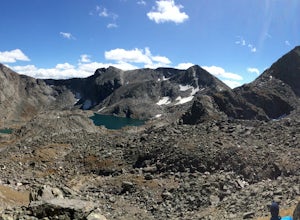
Backpack the Gorge Lakes
11.5 mi / 3200 ft gainStart at the Rock Cut Parking Area. Head east on Trail Ridge Road 0.25 miles to a more gradual and bald western slope leading down into Forest Canyon. This bald is located between two creeks which merge before joining the Big Thompson River (a small creek in mid September). Use the creeks to navi...Read more -
Estes Park, Colorado
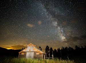
Photograph the Night Sky Over Trail Ridge Road
4.0The highest continuous paved road in North America, Trail Ridge Road takes you above 12,000 ft to an alpine tundra. Being above treeline means you have unclogged panoramic views of the night sky and any possible meteors. You can start your trip from Grand Lake in the west or Estes Park in the ea...Read more -
Estes Park, Colorado
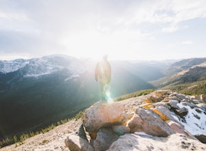
Watch the Sunset at Forest Canyon Overlook
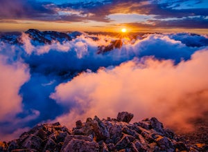
5.00.2 mi / 32 ft gainTrail Ridge Road is an incredible highway that crosses the mountains between Grand Lake and Estes Park, one of the most famous parts of Rocky Mountain National Park. It features incredible views of the Rockies and the Front Range, as well as the unforgettable experience of being immersed in the t...Read more -
Larimer County, Colorado
Sky Pond via Glacier Gorge Trailhead
4.78.43 mi / 1780 ft gainStart at the Glacier Gorge trailhead on Bear Lake Road. Parking is limited so it is advised to get there very early. It's a longer hike so plan on taking a full day to complete or stay overnight to enjoy more of the scenery. Within the first mile on the Glacier Gorge Trail you will pass by Alber...Read more -
Larimer County, Colorado
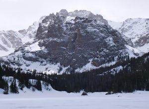
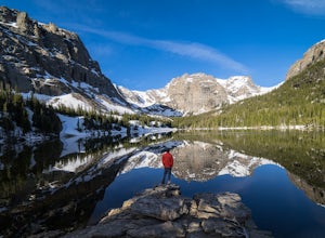
The Loch Lake Trail via Glacier Gorge Trail
5.53 mi / 1072 ft gainThe Loch Lake Trail via Glacier Gorge Trail is an out-and-back trail that takes you by a lake located near Estes Park, Colorado.Read more -
Larimer County, Colorado
The Loch Vale Hike
5.05.53 mi / 1056 ft gainThe trail starts at the Glacier Gorge trailhead along the road to Bear Lake. After hiking for just under a mile, you'll pass Alberta Falls and continue up the trail through the gorge. At about 2 miles you'll reach a clear junction, with trails towards Mills Lake, Lake Haiyaha, and The Loch. Take ...Read more -
Larimer County, Colorado
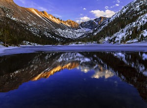
Mills Lake via Glacier Gorge Trailhead
4.85.24 mi / 940 ft gainStart hiking at the Glacier Gorge Trailhead down the bear lake road in rocky mountain national park. The trailhead is very popular so it can be difficult to find a parking place at times. From Glacier Gorge, follow the obvious trail and signs towards mills lake. In the summer the trail will go p...Read more -
Estes Park, Colorado
Green Lake via Glacier Gorge Trail
5.011.38 mi / 3400 ft gainBegin at the popular Glacier Gorge trailhead along Bear Lake Road in Rocky Mountain National Park. Arrive VERY early for parking as the lot typically fills by 7:30 am. For the best photography options - choose to either backpack into the Glacier Gorge campsite (reservations must be made early in ...Read more

