Somerset, Colorado
Top Spots in and near Somerset
-
Montrose County, Colorado
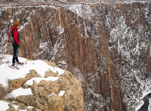
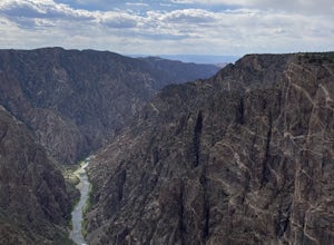
Snowshoe in Black Canyon of the Gunnison National Park
2 mi / 377 ft gainWinter is a great time to visit Black Canyon of the Gunnison National Park. Covered in snow, the canyon seems even more dramatic and sheer. The park road is plowed up until the visitor center, and there is no entrance fee in the winter. The rest of the park road is groomed for cross country skiin...Read more -
Aspen, Colorado
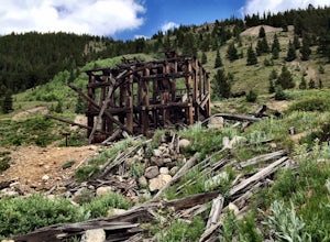
Independence Ghost Town
4.3Back in the late 1800s, Ashcroft, Aspen, and Independence were booming mining town. While Aspen is still thriving today, Ashcroft and Independence are ghost towns. Independence Ghost Town is on Independence Pass, 16 miles east of Aspen on Highway 82. The Farwell Mill sits right along the highwa...Read more -
Montrose, Colorado
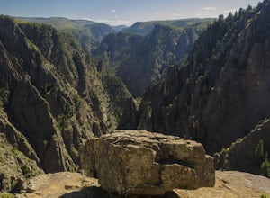
Hike to Tomichi Point and Gunnison Point Overlooks
5.02 miTo access the South Rim of the Black Canyon of the Gunnison National Park, take US 50 and CO 347 to the south entrance, 15 miles east of Montrose. There is no bridge between the north and south rims of the canyon - make sure you enter from the Montrose side.After passing through the entrance stat...Read more -
Montrose, Colorado
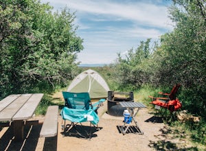
Camp at Black Canyon of the Gunnison's South Rim Campground
5.0The South Rim Campground is located about 6 miles inside Black Canyon of the Gunnison National Park. There are a total of 88 sites, 34 of which are available year-round. Reservations are definitely recommended, but are not required - loop C is first-come, first-served. Loop B fills up first, as i...Read more -
Crawford, Colorado
Warner Point Nature Trail
5.01.52 mi / 279 ft gainWarner Point Nature Trail is an out-and-back trail that takes you by a river located near Montrose, Colorado.Read more -
Montrose, Colorado
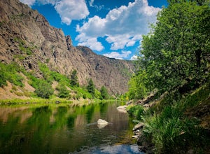
Drive the East Portal Road
Want an easier way to get to the bottom of the canyon without the rugged hiking trails? Drive to the bottom via the East Portal Road. Open once the harsh winter breaks, this road switchbacks its way to the bottom at the meeting place of Curecanti National Recreation area and Black Canyon of the G...Read more -
Aspen, Colorado
Hike Lost Man Loop
5.08.8 mi / 1290 ft gainThis 8.8 mile "loop" is not a true loop and the trail ends 4 miles apart along Independence Pass, so a car shuttle is recommended. I would recommend starting at the west trailhead (closer to Aspen) but will describe both trailheads so you can set up another car or shuttle at the other one.1) West...Read more -
Meredith, Colorado
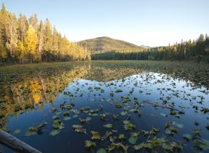
Hike to Chapman Lake
1.6 miFrom downtown Basalt, drive up the Fryingpan River Road 28 miles and turn right on CR #504, also known as Elliot Way, just before Norrie Colony. Drive across the river and up the switchbacks for approximately 3 miles. Take the left fork, continue 1 mile and take the right fork approximately 1/2 m...Read more -
Rifle, Colorado
Rifle Gap Reservoir
5.01.54 mi / 46 ft gainRifle Gap Reservoir is an out-and-back trail that takes you by a lake located near Rifle, Colorado.Read more -
Gunnison, Colorado
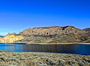
Hike the Dillon Pinnacles Trail
4 mi / 300 ft gainThe Dillon Pinnacles are a geologic phenomenon of southern Colorado. Volcanic eruptions formed the breccia rock into towering spires above the Sapinero Basin of Blue Mesa Reservoir. This packed dirt trail starts at about 7500 feet and climbs to a max elevation of 7800 feet. The four mile out-and-...Read more -
Rifle, Colorado
Explore Rifle Falls
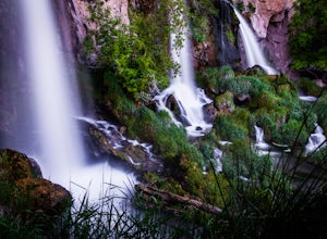
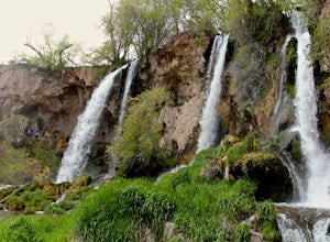
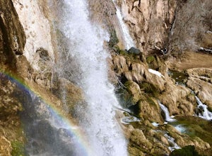
4.6RIfle Falls is located up Rifle Canyon just outside of the town of Rifle on I-70 in Southern Colorado. After driving by the sign for this gem many times on my drives from Utah to Colorado I made a short detour to check out the falls and have some lunch.The state park is small with a some short tr...Read more -
Rifle, Colorado
Hike through Rifle Falls State Park
5.01.5 mi / 70 ft gainRifle Falls State Park is situated just 14 miles north east of major Colorado highway I-70. The park offers a wide variety of activities including hiking, fishing, biking, photography, camping, and spelunking (for the especially adventurous).There are several trails at Rifle Falls, the most popul...Read more -
Gypsum, Colorado
Camp at Deep Creek Campground
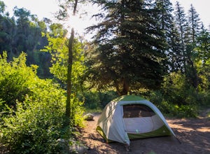
I was driving from Denver to Telluride and wanted a camping spot along the way so I decided to make a random turn off of 70 and sure enough found some beautiful BLM land to camp on. The Deep Creek Campground is along a dirt road about 2 miles off of a paved road. There are 6 camping sites along t...Read more -
Rifle, Colorado
Rifle Falls
5.00.63 mi / 85 ft gainRifle Falls is a loop trail that takes you by a waterfall located near Silt, Colorado.Read more -
Pitkin County, Colorado
Sunset Hike to Twining Peak
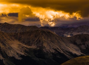
4 mi / 1700 ft gainTwining Peak is a ranked 13er located 2 miles north of Independence Pass. The hike involves around 1700 feet of elevation and is mostly off-trail with some class 2 scrambling (class 3 can be had if you look hard enough). Independence Pass is a prominent and popular pass on Highway 82 between Twin...Read more -
Gypsum, Colorado
Camp at Dotsero Crater
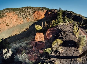
COLORADO'S YOUNGEST VOLCANO The Dotsero crater is Colorado's youngest volcano, erupting a mere 4,200 years ago. While the crater may not be as dramatic as Mt. St Helens, Mt. Baker, or other volcanos in the U.S., it's quite an unusual terrain feature to come across in Colorado, and offers some gre...Read more

