San Miguel County, Colorado
Looking for the best chillin in San Miguel County? We've got you covered with the top trails, trips, hiking, backpacking, camping and more around San Miguel County. The detailed guides, photos, and reviews are all submitted by the Outbound community.
Top Chillin Spots in and near San Miguel County
-
Durango, Colorado
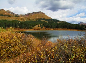
Camp at Little Molas Lake
5.01 mi / 40 ft gainLittle Molas Lake Campground is about 1 mile off of US Highway 550 on Molas Pass just North of and on the other side of the highway from the Molas Overlook. Pro-tip: there is also another campground nearby called Molas Lake Park & Campground, so it's important to distinguish which you are hea...Read more -
Durango, Colorado
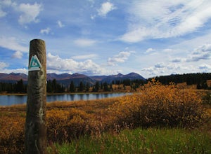
Hike the Colorado Trail: Little Molas Lake to Lime Creek
5.010 mi / 755 ft gainTo hike this section of the Colorado Trail, you'll begin from the Little Molas Lake Campground at around 10,895-ft. Little Molas Lake Campground is about 1 mile off of US Highway 550 on Molas Pass just North of and on the other side of the highway from the Molas Overlook, which is just South of S...Read more -
Silverton, Colorado
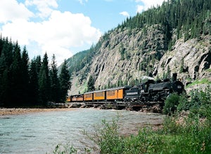
Fly Fish the Animas River
4.0While the Animas River runs for miles in the San Juan National Forest, a beautiful (and accessible) stretch runs right through Silverton, CO. Here, you can fish, hike, or chill. The river is fast with very few pockets for the trout to hide; however, if you search around enough, you'll find a fish...Read more -
Silverton, Colorado
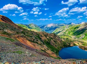
Explore Hurricane Pass and Lake Como
Spending much of the trek above tree line, Hurricane Pass is situated at 12,730 feet above sea level and offers up views of Poughkeepsie Gulch (a more extreme off-road trail) and sapphire blue mountain lakes, such as Lake Como. One of the most beautiful roads in the lower 48 states, Hurricane Pas...Read more -
Silverton, Colorado
Drive to California Pass
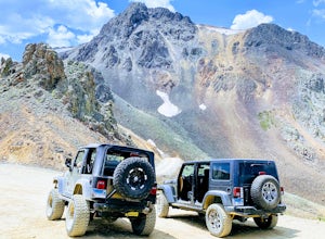
California Pass’s summit is a jaw dropping 12,960 feet above sea level. A long way from the valley floor, California Gulch, but, as drivers start their trek, the valley floor starts to shrink and gives way to steep climbs and switchbacks. Off road vehicles are needed to reach the top, and drivers...Read more -
Silverton, Colorado
Explore Placer Gulch and Sound Democrat Mill
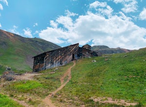
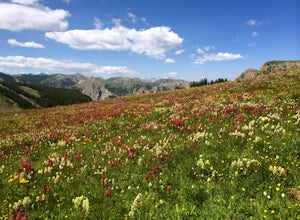
0.25 mi / 50 ft gainPlacer Gulches 4WD trail is a gorgeous route offering scenic vistas of the San Juan Mountains and traverses an area rich with mining history. This area provides gorgeous wild flowers in the peak season of late July/ early August. Some of the best preserved mine structures in Colorado can be found...Read more -
Silverton, Colorado
Explore Animas Forks
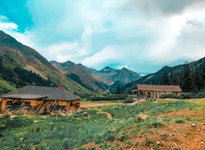
5.00.25 mi / 40 ft gainThe ghost town of Animas Forks, CO is located in the San Juan Mountains at an elevation of 11,200 feet. There are several original buildings remaining. The best way to explore the region is by Jeep or other high-clearance 4×4. The cabins began being built by prospectors in 1873. Three rivers meet...Read more -
Silverton, Colorado
Photograph Moose of the Animas River
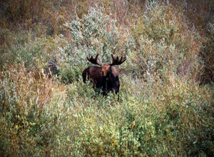
Between the city of Silverton and prior to reaching the ghost town of Animas Forks a wonderful area of alpine beaver ponds that are teaming with trout, many species of ducks, beavers, and moose. Along the forest road in the early morning and evening many moose can be easily seen from the road wa...Read more -
Lake City, Colorado
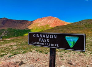
Drive Cinnamon Pass
5.0Along Colorado’s Alpine Loop, Cinnamon Pass sits 12,640’ above the San Juan Mountains. A high clearance vehicle preferably with 4WD is needed to reach the pass, but the breathtaking views along the challenging journey make it worth the ride. During the gold rush in Colorado, Cinnamon pass was us...Read more -
Lake City, Colorado
Backpack to Wetterhorn Basin
13 mi / 3000 ft gainThis trip is for the lover of solitude and the appreciator of the unscathed backcountry. Wetterhorn Basin is in the heart of the beautiful San Juan Mountain range in Southwestern Colorado.With a 4WD high clearance vehicle start at the West Cimarron Trailhead at 10,750 feet (38.1117N -107.5533W),...Read more -
Lake City, Colorado
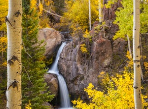
Explore Nellie Creek Falls
5.00.8 mi / 300 ft gainNellie Creek Falls is a beautiful little falls, up County Road 23. The waterfall is surrounded by a forest of aspens leading up the valley. To get to the falls take the northern route of the Alpine Loop from Lake City towards Engineer Pass. In about 5 miles you come to Nellie Creek Road on the ri...Read more -
La Plata County, Colorado
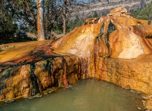
Soak at Pinkerton Hot Spring
5.0The Million Dollar Highway in Southern Colorado is a scenic mountain drive with many beautiful sights. Pinkerton hot springs is located on the side of the highway just outside of Durango, Colorado. There is a small pullout area for parking with a plaque explaining the history of the area and th...Read more -
Lake City, Colorado
Capture Fall Foliage and Whitmore Falls on Engineer Pass
5.0Just outside of the small community of Lake City, Colorado is Engineer Pass, a dirt road that has amazing views and opportunities to hike, take pictures, and maybe even explore an abandoned mining town. Four wheel drive or all wheel drive is preferable, but the road can definitely be driven by a ...Read more -
Montrose, Colorado
Drive the East Portal Road
Want an easier way to get to the bottom of the canyon without the rugged hiking trails? Drive to the bottom via the East Portal Road. Open once the harsh winter breaks, this road switchbacks its way to the bottom at the meeting place of Curecanti National Recreation area and Black Canyon of the G...Read more -
Montrose, Colorado
Camp at Black Canyon of the Gunnison's South Rim Campground
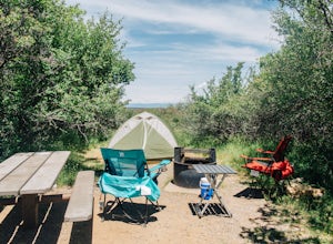
5.0The South Rim Campground is located about 6 miles inside Black Canyon of the Gunnison National Park. There are a total of 88 sites, 34 of which are available year-round. Reservations are definitely recommended, but are not required - loop C is first-come, first-served. Loop B fills up first, as i...Read more -
Montrose, Colorado
Drive the Scenic loop at Black Canyon of Gunnison National Park
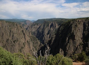
4.5The Black Canyon of Gunnison is know for 2000 foot cliffs and a beautiful raging river below. The south side of the canyon is the most popular and the easiest to get to. The visitor center is also on the south side making it convenient for information and getting souvenirs. The scenic drive also ...Read more

