Saguache, Colorado
Top Spots in and near Saguache
-
Mosca, Colorado
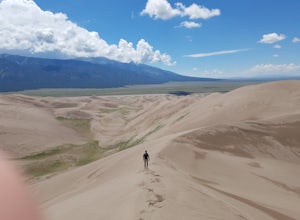
Hike to Star Dune
5.08 mi / 750 ft gainThere is no established trail or route to summit Star Dune which is the beauty of the ever changing and serene nature in the Great Sand Dune National Park. Star Dune is the tallest sand dune in North America, at 750' tall and reaching a summit of 8617'. However, High Dune to its north is at a hig...Read more -
Alamosa County, Colorado
Mosca Pass Trail, Great Sand Dunes NP
5.06.49 mi / 1549 ft gainThe Mosca Pass trail is an (approx) 6.5 mile out and back hike that takes you through beautiful ponderosa and aspen forests to summit 1500 above the start. The trailhead parking is the first left after the Great Sand Dunes visitor center. It is a moderate hike, but allow for several hours, as the...Read more -
Nathrop, Colorado
Explore the St. Elmo Ghost Town
3.8If you're willing to go off the beaten path to a neat little ghost town, St. Elmo, Colorado is the place for you! About 2 and a half hours west of Colorado Springs, Colorado lies the town of St. Elmo, high up in the White River National Forest.The town itself was founded in 1880 when they discov...Read more -
Nathrop, Colorado
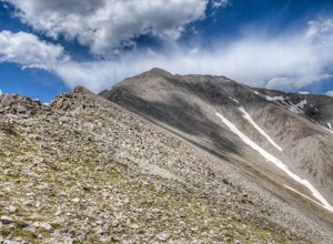
Hike Mt. Princeton
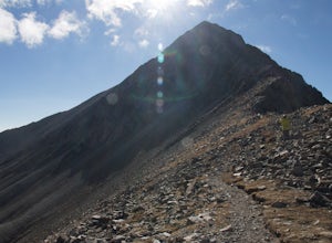
4.513.25 miStarting at 8900 feet of elevation, this 13.25 mile roundtrip hike begins its 5400 foot elevation gain on a dirt road that winds for 3 miles until you break the treeline. If you have 4WD and good clearance you can drive most of the way up this road, shortening your entire hike by about 6 miles. J...Read more -
Alamosa County, Colorado
Zapata Falls
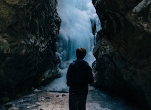
4.70.5 mi / 150 ft gainDriving towards the Sand Dunes, you will see a sign marker that indicates the road up to Zapata Falls. Turn right onto the road a follow it for about 2 miles until you hit the parking lot at the top. The road is in pretty rough condition so if your car doesn't have high clearance make sure you ta...Read more -
Chaffee County, Colorado
Camp in Browns Canyon Wilderness Study Area
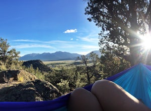
4.0Head toward Nathrop, CO on U.S. High 295. Turn east between mile markers 144 and 145 onto Chaffee County Road 301. Take the road until the pavement runs out and turn right onto Chaffee County Road 300. Drive a couple miles on the road and through the Ruby Mountain campgrounds (paid lots only) unt...Read more -
Gardner, Colorado
Mount Lindsey (CLOSED)
1.08.5 mi / 3300 ft gainNOTE: As of September 2021, Mount Lindsey has been closed to public access indefinitely. (Source) At 14,042 Mt. Lindsey is not one of the tallest 14ers, but it is a fun objective regardless. The Lily Lake trailhead can be somewhat difficult to access without a high clearance car, but most cars ...Read more -
Buena Vista, Colorado
Photograph Cottonwood Lake, CO
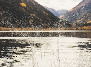
0.1 mi / 1 ft gainWherever you are in Colorado, turn your route towards Buena Vista in South West Colorado - you will not be disappointed. To start, Buena Vista is a really cool town with great places to eat and visit. So make sure you check out the city before heading up Cottonwood Pass. When you are ready to hea...Read more -
Mosca, Colorado
Summit Little Bear Peak
12 mi / 5000 ft gainThis hike starts on Lake Como Road with the goal of eventually reaching Lake Como. If you have a modified 4WD car you can get all the way to the lake in it, but if you do not feel like risking damage to your vehicle park as low as you deem necessary to do that. Most 4WD stock vehicles can make ...Read more -
Lake Como Trailhead, Colorado
Summit Blanca and Ellingwood Peaks
7 mi / 6800 ft gainBlanca Peak is nestled at the heart (and the top) of a four peak ceiling located at the southern-most tip of Colorado's intimidating Sangre de Christo range. The peak is known for its impeccable 360 degree views, as you can see well over 100 miles in every direction thanks to Colorado's clean, c...Read more

