Rocky Mountain National Park, Colorado
Looking for the best hiking in Rocky Mountain National Park? We've got you covered with the top trails, trips, hiking, backpacking, camping and more around Rocky Mountain National Park. The detailed guides, photos, and reviews are all submitted by the Outbound community.
Top Hiking Spots in and near Rocky Mountain National Park
-
Larimer County, Colorado
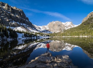
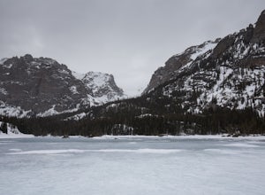
The Loch Vale Hike
5.05.53 mi / 1056 ft gainThe trail starts at the Glacier Gorge trailhead along the road to Bear Lake. After hiking for just under a mile, you'll pass Alberta Falls and continue up the trail through the gorge. At about 2 miles you'll reach a clear junction, with trails towards Mills Lake, Lake Haiyaha, and The Loch. Take ...Read more -
Larimer County, Colorado
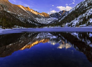
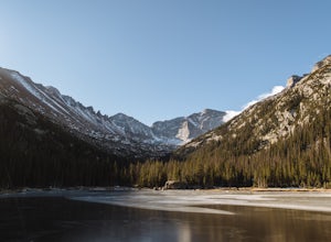
Mills Lake via Glacier Gorge Trailhead
4.85.24 mi / 940 ft gainStart hiking at the Glacier Gorge Trailhead down the bear lake road in rocky mountain national park. The trailhead is very popular so it can be difficult to find a parking place at times. From Glacier Gorge, follow the obvious trail and signs towards mills lake. In the summer the trail will go p...Read more -
Larimer County, Colorado
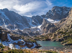
Sky Pond via Glacier Gorge Trailhead
4.78.43 mi / 1780 ft gainStart at the Glacier Gorge trailhead on Bear Lake Road. Parking is limited so it is advised to get there very early. It's a longer hike so plan on taking a full day to complete or stay overnight to enjoy more of the scenery. Within the first mile on the Glacier Gorge Trail you will pass by Alber...Read more -
Estes Park, Colorado
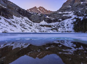
Black Lake Trail
5.09.17 mi / 1400 ft gainThe Black lake hike begins at the very popular Glacier Gorge trailhead along Bear Lake road in Rocky Mountain National Park. During the summer and weekends, the park shuttle may be the best parking option as the lot is often full by 7am and can be difficult to find a spot throughout the day. Fr...Read more -
Larimer County, Colorado
Winter Hike to Loch Vale
4.05.4 mi / 1056 ft gainThis winter adventure begins at the popular Glacier Gorge Trailhead in Rocky Mountain National Park. Make sure you arrive early as the parking lot fills up quickly! We started the hike with our microspikes on and carried our snowshoes. The park ranger informed us snowshoes may be necessary in som...Read more -
Larimer County, Colorado
Hike to Jewel Lake
4.06.12 mi / 727 ft gainThis trail starts at the Glacier Gorge Trailhead. This trailhead fills quickly at any time of year, so it's best to get there early to guarantee a parking spot. You can also park at Bear Lake where there's more spaces and add just under 2 miles to your round trip length. A mile into the hike, y...Read more -
Larimer County, Colorado
Hike the Spearhead
5.012.44 mi / 3300 ft gainBeginning from the Glacier Gorge trailhead, follow trail signs towards Mills Lake. At Mills, continue onward past Black Lake, and then continue hiking up into the incredible basin above Black Lake. Spearhead will be unmissable. Once in the basin, head to the north side of Spearhead. By hugging t...Read more -
Larimer County, Colorado
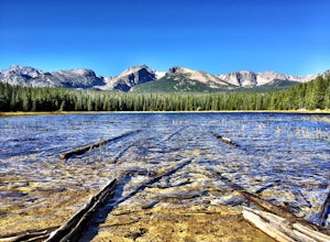
Bierstadt Lake Loop
4.32.93 mi / 675 ft gainFrom the Bierstadt Lake Trailhead on Bear Lake Road in Rocky Mountain National Park, you start out in lodgepole pines at 8850 feet high. But you quickly get into the aspens. In the breeze, aspens flutter or quake. It's unique sound as the leaves almost dance in the wind. The views and aspens ...Read more -
Estes Park, Colorado
Hike to Cub Lake
5.04.6 mi / 645 ft gainRocky Mountain National Park showcases 355 miles of hiking trails, 6 campgrounds, and hundreds of backcountry camp sites. The cost to enter the park is $20.00 per vehicle, I recommend buying the annual National Parks Pass for $80.00. Cub Lake is an excellent trail for viewing wildlife. There ar...Read more -
Estes Park, Colorado
Watch the Sunset at Forest Canyon Overlook
5.00.2 mi / 32 ft gainTrail Ridge Road is an incredible highway that crosses the mountains between Grand Lake and Estes Park, one of the most famous parts of Rocky Mountain National Park. It features incredible views of the Rockies and the Front Range, as well as the unforgettable experience of being immersed in the t...Read more -
Estes Park, Colorado
Hike along Tombstone Ridge
4.3 mi / 3250 ft gainTombstone ridge can be accessed via the ute trail from two directions. The lower trail starts at upper beaver meadows and is ~4.3 miles with 3250 feet of elevation gain. It can also be accessed at the Ute trail crossing along trail ridge road, which leaves you a 1.1 mile hike with just under 300 ...Read more -
Estes Park, Colorado
Sprague Lake Loop
5.00.81 mi / 26 ft gainLocated in Rocky Mountain National Park at an elevation of almost 8,700 feet, Sprague Lake offers visitors great views with very little effort required. It's a short 15 minute drive from Estes Park and hikers can take the short trail around the circumference of the lake. You'll find bathrooms and...Read more -
40.387035,-105.610770
Rocky Mountain NP's Trail Ridge Road
4.939.06 miStart by entering Rocky Mountain National Park through Estes Park, Colorado. After acquiring a map start your ascent on Trail Ridge Rd (the road is closed in winter). The Road will take you up in elevation into the mountains so a good car is strongly recommended. As you wind up the switch backs,...Read more -
Estes Park, Colorado
Hike Deer Mountain
6.03 mi / 1200 ft gainBeginning in Rocky Mountain National Park near the Deer Ridge Junction (where US 34 & US 36 meet), park your car in one of the 20 spots on either side of the road. Start at the trailhead booth and head north, keeping to the right-side trail at the first intersection about a tenth of a mile fr...Read more -
Estes Park, Colorado
Backpack the Gorge Lakes
11.5 mi / 3200 ft gainStart at the Rock Cut Parking Area. Head east on Trail Ridge Road 0.25 miles to a more gradual and bald western slope leading down into Forest Canyon. This bald is located between two creeks which merge before joining the Big Thompson River (a small creek in mid September). Use the creeks to navi...Read more -
Estes Park, Colorado
Chasm Falls
3.02.57 mi / 132 ft gainParking in Rocky Mountain National Park is tricky for Chasm Falls. Depending on where you are able to park, the hike will be a 0.1 mile, 2.8 mile, or 4.8 mile round-trip hike. It’s also important to know that Old Fall River Road is closed during the winter months from Nov 30th until the end of Ma...Read more

