Rico, Colorado
Top Spots in and near Rico
-
Ridgway, Colorado
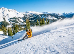
Ski or Snowboard Red Mountain Pass
Red Mountain Pass is the site of an historic silver mining boom from 1882 to 1893. During that time, over 10,000 people lived at over 11,000 feet! Today, it's turned into a backcountry ski and snowboard touring destination. If you are coming from the North, you'll pass through the gorgeous box-c...Read more -
Durango, Colorado
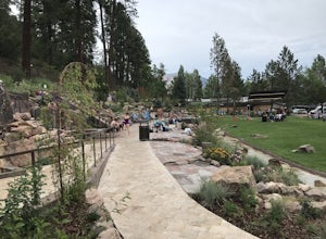
Trimble Hot Springs
4.3The Trimble Spa and Natural Hot Springs offers a 101-105 degree, Olympic size swimming pool, in addition to two mineral pools, saunas, and a spa. Lodging is available as well, including a 'couple's hideaway' package.Read more -
Ouray County, Colorado
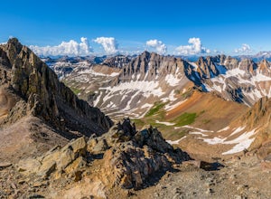
Mount Sneffels via Yankee Boy Basin
5.01.94 mi / 1581 ft gainThe most common route, sometimes called the standard route or the Lavender Col route, begins at or near the top of Yankee Boy Basin, just outside of Ouray. Take the Camp Bird Road as far as you can, though be warned that the last few miles of the road are extremely rough and should only be attem...Read more -
Ouray County, Colorado
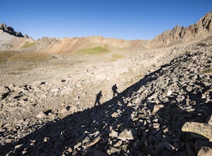
Climb Mt. Sneffels via the Southwest Ridge
4.53 mi / 1800 ft gainThere is a great description of this trailhead here: Hike Mount SneffelsThe SW Ridge route of Mt Sneffels is a Class III scramble in the Mount Sneffels Wilderness area of the San Juan Range located between Ouray and Telluride, Colorado. This route is 3 miles RT with 1,800 feet of elevation gain ...Read more -
Ridgway, Colorado
Explore Twin Falls in Yankee Boy Basin
While small, Twin Falls sits in the extremely photogenic backdrop of Yankee Boy Basin. To reach the falls 7.5 miles outside of Ouray follow Camp Bird road for 4.7 miles before taking a right onto Yankee Boy Basin Road. After 2.8 miles you'll reach one of several small parking areas on the left ...Read more -
Ridgway, Colorado
Explore Corckscrew Gulch
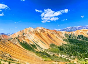
Corkscrew Gulch is named for the narrow and winding switchbacks that "corkscrewes" up Red Mountain Two. It is hard to miss this area of the San Juan Mountains, because the deep reds, oranges, and yellows blanket all three of the named "Red Mountains". The red color in the mountains is caused by o...Read more -
Ridgway, Colorado
Running to Grizzly Bear Mine
Bear Creek Trail, which leads to Grizzly Mine, is located just 2 miles outside of Ouray, Colorado on Highway 550 immediately following the first tunnel. There's two parking lots, a large one and a small one, the trail leads from the small parking lot over the tunnel and highway. There are no bath...Read more -
Durango, Colorado
Hike the Falls Creek Loop
4.54.1 mi / 393 ft gainThe Falls Creek Loop is a 4.1 mile trail in the San Juan National Forest, just outside of Durango, Colorado. Lots of side trails jut out from the main trail, and it is easy to lose your way. Take the middle trail at the first split, and keep following the main splits. You will find yourself on a ...Read more -
Durango, Colorado
Hike the Colorado Trail to Gudy's Rest
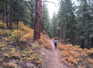
4.08.1 mi / 1400 ft gainThis hike, a local favorite is less than five miles from downtown Durango. The entire hike offers beautiful views especially once your reach the top of Gudy's Rest. The trail starts off with a gradual uphill along Junction Creek. On this section of the trail, you will likely run into locals proba...Read more -
Durango, Colorado
Drive the San Juan Skyway from Durango to Ouray
4.7The drive from Durango to Ouray via Colorado 550 (The San Juan Skyway) is one of the most gorgeous roads in the country. The drive itself is worth your time, but if you have time be sure to make stops along the way at the many waterfalls, hiking trails, and lakes along the road. This drive passes...Read more -
Silverton, Colorado
Photograph Moose of the Animas River
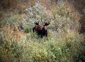
Between the city of Silverton and prior to reaching the ghost town of Animas Forks a wonderful area of alpine beaver ponds that are teaming with trout, many species of ducks, beavers, and moose. Along the forest road in the early morning and evening many moose can be easily seen from the road wa...Read more -
Telluride, Colorado
Blue Lakes Trail
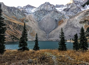
5.08.81 mi / 2635 ft gainYour adventure begins at the Blue Lakes Trailhead, elevation 9400’, in Uncompahgre National Forest. Take CO-62 from Ridgway toward Telluride, turn left onto Ouray County Road 7, and follow it into the national forest to the end of the road. Just past the trailhead, the trail splits; be sure to ...Read more -
Silverton, Colorado
Explore Hurricane Pass and Lake Como
Spending much of the trek above tree line, Hurricane Pass is situated at 12,730 feet above sea level and offers up views of Poughkeepsie Gulch (a more extreme off-road trail) and sapphire blue mountain lakes, such as Lake Como. One of the most beautiful roads in the lower 48 states, Hurricane Pas...Read more -
Silverton, Colorado
Drive to California Pass
California Pass’s summit is a jaw dropping 12,960 feet above sea level. A long way from the valley floor, California Gulch, but, as drivers start their trek, the valley floor starts to shrink and gives way to steep climbs and switchbacks. Off road vehicles are needed to reach the top, and drivers...Read more -
Silverton, Colorado
Explore Placer Gulch and Sound Democrat Mill
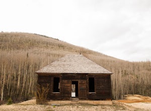
0.25 mi / 50 ft gainPlacer Gulches 4WD trail is a gorgeous route offering scenic vistas of the San Juan Mountains and traverses an area rich with mining history. This area provides gorgeous wild flowers in the peak season of late July/ early August. Some of the best preserved mine structures in Colorado can be found...Read more -
Durango, Colorado
Hike the First Fork/Red Creek Loop
9.8 mi / 2195 ft gainLeaving from Durango, head north on Florida Road/CR 240. From the intersection with County Road 250 (the last stoplight), drive about 8 miles until you reach Colvig Summer Camp. Turn northwest here. The road will soon narrow and turn to dirt - continue straight. 1 mile further, there will be a la...Read more

