Red Feather Lakes, Colorado
Looking for the best photography in Red Feather Lakes? We've got you covered with the top trails, trips, hiking, backpacking, camping and more around Red Feather Lakes. The detailed guides, photos, and reviews are all submitted by the Outbound community.
Top Photography Spots in and near Red Feather Lakes
-
Ward, Colorado
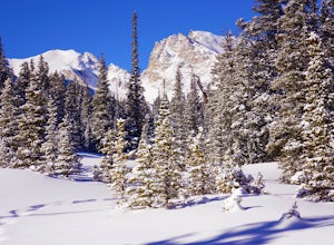
Snowshoe or Ski Lake Isabelle
10 miSpeechless. That’s how this hike will leave you. And not just because of its length. At over 10 miles, this snowshoe exploration is not for the faint of heart. But the language-defying beauty of this hike will make every sore muscle worth it.The Brainard Lake Recreational Area near Ward, Colorado...Read more -
Ward, Colorado
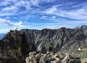
Shoshoni Peak
5.010.61 mi / 2470 ft gainHike one of the most scenic 12ers in Colorado's front range, Shoshoni Peak, with an elevation of 12,967 feet. You can easily combine a summit of Pawnee Peak for wonderful views of multiple alpine cirques. Enjoy wonderful views of the Long Lake Valley, Isabelle Glacier, and Pawnee Pass regions. Fo...Read more -
Ward, Colorado
Pawnee & Buchanan Pass Loop
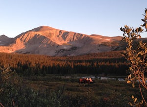
5.026.98 mi / 6978 ft gainBefore you start your trip, get a camping permit from the Boulder Ranger Station. Plan to spend your first night in the Crater Lake BZ (Backcountry Zone), and your second in Buchanan BZ. If you're feeling particularly sedate, you can easily spend a third night in Coney Creek. Start early in the ...Read more -
Ward, Colorado
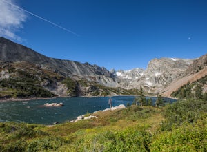
Lake Isabelle via Long Lake Trailhead
4.54.09 mi / 374 ft gainStart at the Pawnee Pass Trail No. 907 Trailhead. Long Lake is about 2 tenths of a mile and Lake Isabelle is 2 miles from the trailhead. Keep an eye out for moose grazing in the bushes or in the water near Long Lake. This is a 4 mile out and back hike with well marked trails. For an 8.75 mile hi...Read more -
Ward, Colorado
Isabelle Glacier
5.08.62 mi / 1578 ft gainGetting There The trailhead can be reached from Boulder by driving west through Boulder Canyon on Highway 42 to Nederland, then going north on the Peak-to-Peak Highway 72 to the town of Ward. From there, a National Forest Sign on the west side of the highway provides directions to the ranger stat...Read more

