Pine, Colorado
Looking for the best backpacking in Pine? We've got you covered with the top trails, trips, hiking, backpacking, camping and more around Pine. The detailed guides, photos, and reviews are all submitted by the Outbound community.
Top Backpacking Spots in and near Pine
-
Fraser, Colorado
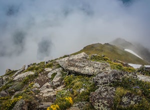
Summit Byers Peak
8.8 mi / 2774 ft gainThe drive to the start of the trail is okay, having a high clearance vehicle would make the drive easier, but is not necessary. Free parking is available along the side of the road.The trail starts on a closed service road at a gate and requires you to either hike or bike up the dirt road (2 mil...Read more -
Frisco, Colorado
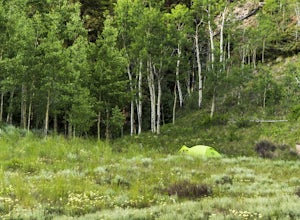
Backpack the Colorado Trail: Copper Mountain to Hagerman Pass
39 miThe Colorado Trail (CT) runs for 483 miles from Denver to Durango, crossing through eight mountain ranges and passing through six wilderness areas. There are great resources on completing a thru-hike of the CT; this post is about Segments 8-9 of the CT from Copper Mountain to Tennessee Pass.These...Read more -
Ward, Colorado
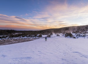
Winter Camp at Lefthand Reservoir
3 mi / 250 ft gainThe Brainard Lake Recreation Area is a winter adventurers playground with numerous snowshoe and cross country ski options to be explored. This area is popular as it offers dramatic mountain peaks, a trail for everyone (no motorized vehicles off of pavement), and close proximity to the Denver and ...Read more -
Ward, Colorado
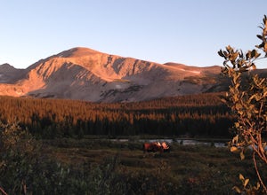
Pawnee & Buchanan Pass Loop
5.026.98 mi / 6978 ft gainBefore you start your trip, get a camping permit from the Boulder Ranger Station. Plan to spend your first night in the Crater Lake BZ (Backcountry Zone), and your second in Buchanan BZ. If you're feeling particularly sedate, you can easily spend a third night in Coney Creek. Start early in the ...Read more -
Nederland, Colorado
Hike to Columbine Lake
5.07 mi / 1200 ft gainThe hike is about seven miles, give or take, however it feels longer. The elevation gain is little over 1000 feet. The drive here is about 45 minutes from both Granby and Winter Park, and is definitely worth it. You follow a trail dusted with wildflowers for the majority of the hike, and occasio...Read more -
Silverthorne, Colorado
Backpack to Upper Slate Lake
5.028 mi / 1386 ft gainStarting from the Rock Creek Trailhead parking lot, it is an up and down trek to Upper Slate Lake. The trail map states 10 miles each way, but accounting for switchbacks it ends up being closer to 14 long, hard miles.You will be among aspens and pines for the first half as you have a few moderate...Read more -
Ward, Colorado
Hike the Ceran St. Vrain Trail
5.04 mi / 1207 ft gainThe Ceran St. Vrain trail north of Jamestown offers the hiker a nice respite from the summer sun as this path runs through dense pine forests. The trail follows the South St. Vrain Creek for most of the way and follows moderate grades throughout. There is no official end to the trail, only that i...Read more -
Buena Vista, Colorado
Backpack the Buffalo Peaks Wilderness Loop
5.011.7 mi / 2000 ft gainStarting at the Rich Creek Campground this wonderful moderate hike forms a loop by connecting the Rich Creek Trail and the Tumble Creek trail. in the Buffalo Peaks wilderness. Flanked by the Collegiate Peaks, in Spring and Summer the area is awash with rushing creeks, lush wet lowlands & deep...Read more -
Lyons, Colorado
Backpack to Red Deer Lake, CO
4.06.4 mi / 1900 ft gainThis is an excellent place to take your family backpacking. It is a fairly easy trail and definitely a great one for kids. Take in the beautiful scenery while hiking through meadows, aspen and pine with incredible mountain views in the Indian Peaks Wilderness. 6.4 miles to Red Deer Lake with an e...Read more -
Granby, Colorado
Mirror and Crater Lakes via Cascade Creek Trail
4.614.94 mi / 2421 ft gainStart at the Monarch Lake trailhead (where there is a $5 parking fee unless you have one of the national lands passes) and follow the cascade creek trail around the north side of the lake. After about 1.5 miles the trail splits with the Arapaho pass trail, follow the cascade trail to the left as ...Read more

